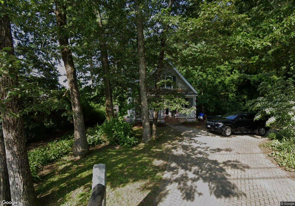
18 Williams Ave Westford, MA 01886
Estimated Value: $431,000 - $526,726
3
Beds
2
Baths
1,224
Sq Ft
$397/Sq Ft
Est. Value
About This Home
This home is located at 18 Williams Ave, Westford, MA 01886 and is currently estimated at $485,432, approximately $396 per square foot. 18 Williams Ave is a home with nearby schools including Nabnasset Elementary, Abbot Elementary School, and Stony Brook School.
Ownership History
Date
Name
Owned For
Owner Type
Purchase Details
Closed on
Oct 8, 2009
Sold by
Habitat For Humanity L
Bought by
Bourassa Renee
Current Estimated Value
Home Financials for this Owner
Home Financials are based on the most recent Mortgage that was taken out on this home.
Original Mortgage
$175,932
Outstanding Balance
$115,232
Interest Rate
5.14%
Mortgage Type
Purchase Money Mortgage
Estimated Equity
$370,200
Purchase Details
Closed on
Nov 18, 2008
Sold by
Westford Town Of
Bought by
Habitat Humanity Grtr
Purchase Details
Closed on
Feb 11, 2008
Sold by
Westford Town Of
Bought by
Habitat Humanity Grtr
Create a Home Valuation Report for This Property
The Home Valuation Report is an in-depth analysis detailing your home's value as well as a comparison with similar homes in the area
Home Values in the Area
Average Home Value in this Area
Purchase History
| Date | Buyer | Sale Price | Title Company |
|---|---|---|---|
| Bourassa Renee | $159,305 | -- | |
| Habitat Humanity Grtr | -- | -- | |
| Habitat Humanity Grtr | -- | -- |
Source: Public Records
Mortgage History
| Date | Status | Borrower | Loan Amount |
|---|---|---|---|
| Open | Bourassa Renee | $175,932 |
Source: Public Records
Tax History Compared to Growth
Tax History
| Year | Tax Paid | Tax Assessment Tax Assessment Total Assessment is a certain percentage of the fair market value that is determined by local assessors to be the total taxable value of land and additions on the property. | Land | Improvement |
|---|---|---|---|---|
| 2025 | $3,263 | $237,000 | $140,400 | $96,600 |
| 2024 | $3,263 | $237,000 | $140,400 | $96,600 |
| 2023 | $3,356 | $227,400 | $135,600 | $91,800 |
| 2022 | $3,319 | $205,900 | $119,500 | $86,400 |
| 2021 | $3,162 | $190,000 | $119,500 | $70,500 |
| 2020 | $3,114 | $190,700 | $119,500 | $71,200 |
| 2019 | $2,903 | $175,300 | $119,500 | $55,800 |
| 2018 | $5,631 | $170,100 | $114,300 | $55,800 |
| 2017 | $2,701 | $164,600 | $114,300 | $50,300 |
| 2016 | $2,585 | $158,600 | $107,800 | $50,800 |
| 2015 | $2,551 | $157,100 | $95,900 | $61,200 |
| 2014 | $2,603 | $156,800 | $92,100 | $64,700 |
Source: Public Records
Map
Nearby Homes
- 12 Torrington Ln
- 10 Torrington Ln
- 17 Williams Ave
- 15 Williams Ave
- 17 Williams Ave
- 8 Torrington Ln
- 11 Torrington Ln
- 9 Torrington Ln
- 2 Myrtle Ave
- 4 Myrtle Ave
- 21 Trails End Rd
- 7 Torrington Ln
- 1 Myrtle Ave
- 6 Torrington Ln
- 14 Wilshire Ave
- 12 Wilshire Ave
- 6 Myrtle Ave
- 10 Wilshire Ave
- 19 Williams Ave
- 5 Torrington Ln