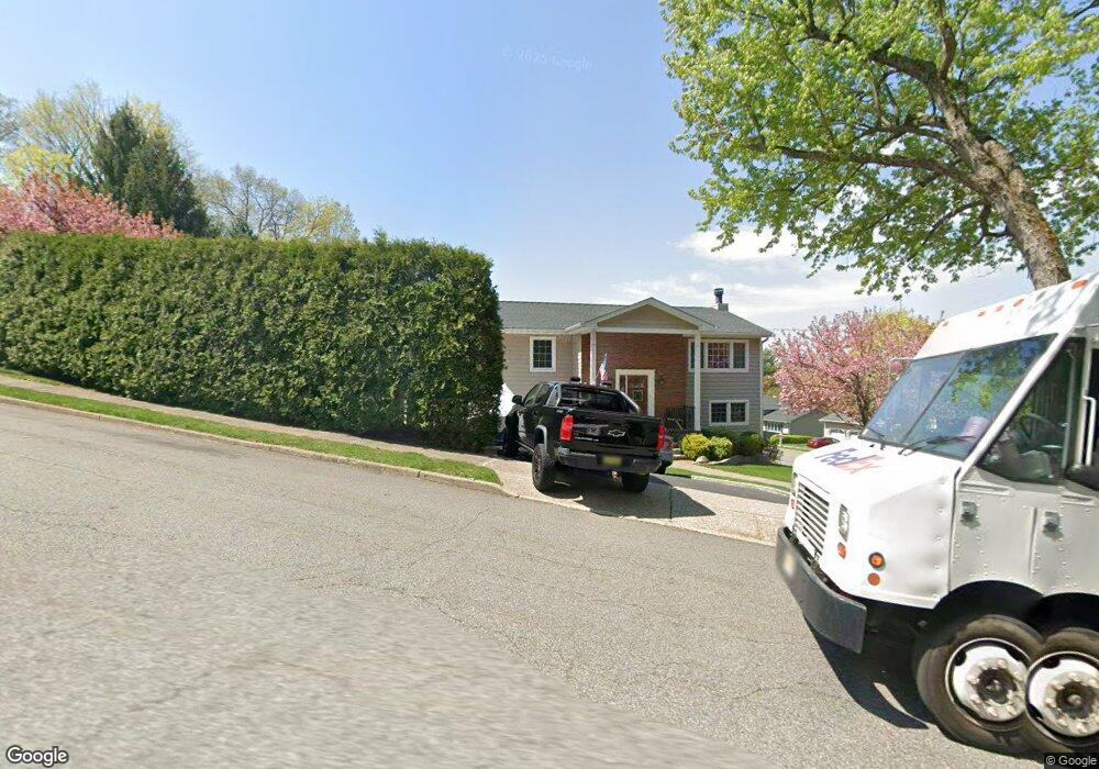
18 Wolfe Dr Wanaque, NJ 07465
Wanaque AreaEstimated Value: $551,000 - $666,000
About This Home
This home is located at 18 Wolfe Dr, Wanaque, NJ 07465 and is currently estimated at $610,564, approximately $279 per square foot. 18 Wolfe Dr is a home located in Passaic County with nearby schools including Lakeland Regional High School.
Ownership History
We collect this data history from publicly available records. To have your information removed, we recommend requesting removal directly through your county’s website.
Purchase Details
Home Financials for this Owner
Home Financials are based on the most recent Mortgage that was taken out on this home.Purchase Details
Home Financials for this Owner
Home Financials are based on the most recent Mortgage that was taken out on this home.Home Values in the Area
Average Home Value in this Area
Purchase History
We collect this data history from publicly available records. To have your information removed, we recommend requesting removal directly through your county’s website.
| Date | Buyer | Sale Price | Title Company |
|---|---|---|---|
| $370,000 | -- | ||
| $370,000 | -- |
Mortgage History
We collect this data history from publicly available records. To have your information removed, we recommend requesting removal directly through your county’s website.
| Date | Status | Borrower | Loan Amount |
|---|---|---|---|
| Closed | $200,000 |
Tax History
We collect this data history from publicly available records. To have your information removed, we recommend requesting removal directly through your county’s website.
| Year | Tax Paid | Tax Assessment Tax Assessment Total Assessment is a certain percentage of the fair market value that is determined by local assessors to be the total taxable value of land and additions on the property. | Land | Improvement |
|---|---|---|---|---|
| 2026 | $13,282 | $292,500 | $112,700 | $179,800 |
| 2025 | $13,282 | $292,500 | $112,700 | $179,800 |
| 2024 | $12,364 | $292,500 | $112,700 | $179,800 |
| 2022 | $12,104 | $292,500 | $112,700 | $179,800 |
| 2021 | $11,840 | $292,500 | $112,700 | $179,800 |
| 2020 | $11,709 | $292,500 | $112,700 | $179,800 |
| 2019 | $11,428 | $292,500 | $112,700 | $179,800 |
| 2018 | $11,203 | $292,500 | $112,700 | $179,800 |
| 2017 | $10,940 | $292,500 | $112,700 | $179,800 |
| 2016 | $10,670 | $292,500 | $112,700 | $179,800 |
| 2015 | $10,518 | $292,500 | $112,700 | $179,800 |
| 2014 | $10,311 | $292,500 | $112,700 | $179,800 |
Map
- 12 Wolfe Dr
- 6 Cooper Dr
- 27 Borman Dr
- 37 Wolfe Dr
- 40 Schirra Dr
- 325 Conklintown Rd
- 200 Conklintown Rd
- 44 Molinari Dr
- 10 Hemlock Place
- 15B Brookside Heights Unit B
- 15B Brookside Heights Unit 15B
- 3 Brookside Heights Unit 3i
- 1 Ramapo Park
- 17 Canterbury Rd
- 1F Brookside Heights Unit F
- 1 Brookside Heights Unit F
- 1 Oak Ln
- 6 East St
- 93 Coventry Way
- 1 Aspen Rd
Ask me questions while you tour the home.