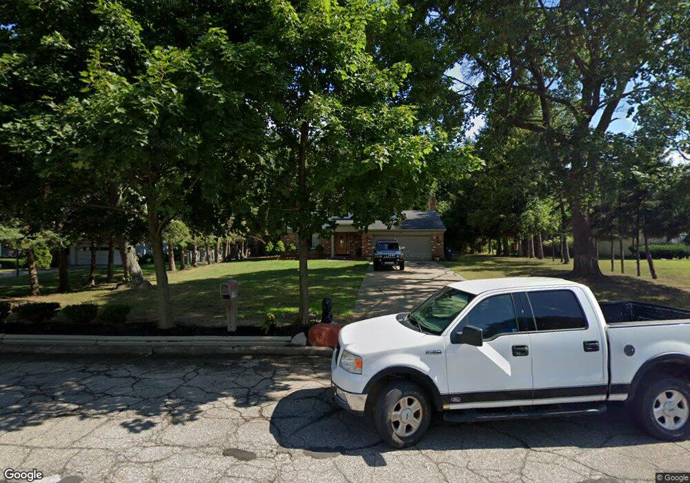
180 Bloomfield Blvd Bloomfield Hills, MI 48302
Estimated Value: $323,000 - $405,000
4
Beds
2
Baths
2,064
Sq Ft
$182/Sq Ft
Est. Value
About This Home
This home is located at 180 Bloomfield Blvd, Bloomfield Hills, MI 48302 and is currently estimated at $376,305, approximately $182 per square foot. 180 Bloomfield Blvd is a home located in Oakland County with nearby schools including Eastover Elementary School, Bloomfield Hills High School, and Arts & Technology Academy of Pontiac.
Ownership History
Date
Name
Owned For
Owner Type
Purchase Details
Closed on
Feb 2, 2018
Sold by
Patton Pamela Williams and Jones Charlotte
Bought by
Hariston Patricia A
Current Estimated Value
Home Financials for this Owner
Home Financials are based on the most recent Mortgage that was taken out on this home.
Original Mortgage
$118,826
Outstanding Balance
$102,487
Interest Rate
4.75%
Mortgage Type
FHA
Estimated Equity
$273,818
Create a Home Valuation Report for This Property
The Home Valuation Report is an in-depth analysis detailing your home's value as well as a comparison with similar homes in the area
Home Values in the Area
Average Home Value in this Area
Purchase History
| Date | Buyer | Sale Price | Title Company |
|---|---|---|---|
| Hariston Patricia A | $100,000 | Coretitle Llc |
Source: Public Records
Mortgage History
| Date | Status | Borrower | Loan Amount |
|---|---|---|---|
| Open | Hariston Patricia A | $118,826 |
Source: Public Records
Tax History Compared to Growth
Tax History
| Year | Tax Paid | Tax Assessment Tax Assessment Total Assessment is a certain percentage of the fair market value that is determined by local assessors to be the total taxable value of land and additions on the property. | Land | Improvement |
|---|---|---|---|---|
| 2024 | $1,808 | $150,900 | $0 | $0 |
| 2023 | $1,750 | $124,580 | $0 | $0 |
| 2022 | $3,288 | $115,290 | $0 | $0 |
| 2021 | $3,265 | $85,310 | $0 | $0 |
| 2020 | $1,632 | $85,810 | $0 | $0 |
| 2019 | $3,503 | $94,150 | $0 | $0 |
| 2018 | $2,227 | $89,710 | $0 | $0 |
| 2017 | $3,282 | $87,460 | $0 | $0 |
| 2016 | $2,941 | $87,160 | $0 | $0 |
| 2015 | -- | $86,020 | $0 | $0 |
| 2014 | -- | $71,470 | $0 | $0 |
| 2011 | -- | $51,910 | $0 | $0 |
Source: Public Records
Map
Nearby Homes
- 00 S Berkshire
- 95 Hillsdale Rd
- 200 Astorwood St
- 200 Cedardale Ave
- 583 Going St
- 2449 Mulberry Square Unit 31
- 2383 Mulberry Square Unit 72
- 2449 Mulberry Square Unit 28
- 2665 Lahser Rd
- 2442 Mulberry Square Unit 36
- 323 Ferry Ave
- 363 Sycamore Ct
- 567 Highland Ave
- 465 S Marshall St
- 447 S Marshall St
- 440 Martin Luther King Junior Blvd S
- 371 Nebraska Ave
- 209 Ferry Ave
- 136 Belroi Place
- 481 Harvey Ave
- 208 Bloomfield Blvd
- 164 Bloomfield Blvd
- 224 Bloomfield Blvd
- 165 Highland Ave
- 150 Bloomfield Blvd
- 155 Highland Ave
- 175 Highland Ave
- 209 Highland Ave
- 1423 Winthrop Rd
- 136 Bloomfield Blvd
- 240 Bloomfield Blvd
- 181 Bloomfield Blvd
- 209 Bloomfield Blvd
- 165 Bloomfield Blvd
- 229 Highland Ave
- 225 Bloomfield Blvd
- 149 Bloomfield Blvd
- 256 Bloomfield Blvd
- 1125 Winthrop Rd
- 245 Highland Ave