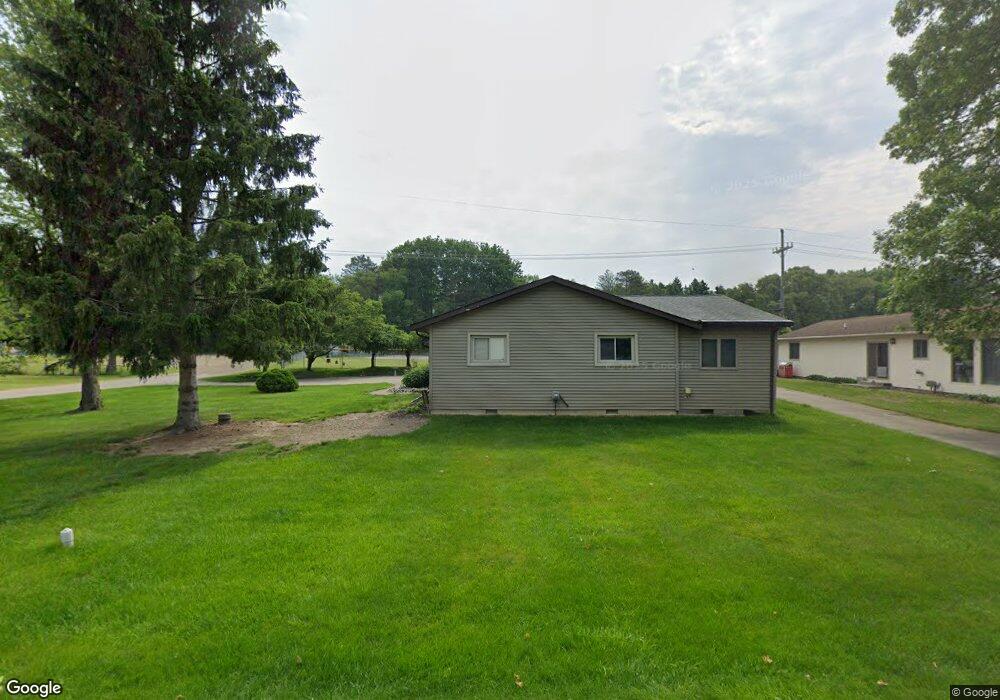
180 Briscoe Blvd Waterford, MI 48327
Waterford Township NeighborhoodEstimated Value: $316,000 - $352,000
3
Beds
3
Baths
1,553
Sq Ft
$211/Sq Ft
Est. Value
About This Home
This home is located at 180 Briscoe Blvd, Waterford, MI 48327 and is currently estimated at $327,217, approximately $210 per square foot. 180 Briscoe Blvd is a home located in Oakland County with nearby schools including Riverside Elementary School, Pierce Middle School, and Waterford Mott High School.
Ownership History
Date
Name
Owned For
Owner Type
Purchase Details
Closed on
Jun 3, 2014
Sold by
Baylis David M and Baylis Bonnie S
Bought by
Baylis David M and Baylis Bonnie S
Current Estimated Value
Purchase Details
Closed on
Aug 13, 1998
Sold by
Duke Roy T
Bought by
Baylis David M
Home Financials for this Owner
Home Financials are based on the most recent Mortgage that was taken out on this home.
Original Mortgage
$130,000
Outstanding Balance
$27,380
Interest Rate
7.03%
Mortgage Type
Purchase Money Mortgage
Estimated Equity
$299,837
Create a Home Valuation Report for This Property
The Home Valuation Report is an in-depth analysis detailing your home's value as well as a comparison with similar homes in the area
Home Values in the Area
Average Home Value in this Area
Purchase History
| Date | Buyer | Sale Price | Title Company |
|---|---|---|---|
| Baylis David M | -- | None Available | |
| Baylis David M | $149,999 | -- |
Source: Public Records
Mortgage History
| Date | Status | Borrower | Loan Amount |
|---|---|---|---|
| Open | Baylis David M | $130,000 |
Source: Public Records
Tax History Compared to Growth
Tax History
| Year | Tax Paid | Tax Assessment Tax Assessment Total Assessment is a certain percentage of the fair market value that is determined by local assessors to be the total taxable value of land and additions on the property. | Land | Improvement |
|---|---|---|---|---|
| 2024 | $1,543 | $155,150 | $0 | $0 |
| 2023 | $1,471 | $143,230 | $0 | $0 |
| 2022 | $2,369 | $132,610 | $0 | $0 |
| 2021 | $2,240 | $120,700 | $0 | $0 |
| 2020 | $1,347 | $113,690 | $0 | $0 |
| 2019 | $2,188 | $111,380 | $0 | $0 |
| 2018 | $2,171 | $90,360 | $0 | $0 |
| 2017 | $1,997 | $90,360 | $0 | $0 |
| 2016 | $1,993 | $74,940 | $0 | $0 |
| 2015 | -- | $63,230 | $0 | $0 |
| 2014 | -- | $57,180 | $0 | $0 |
| 2011 | -- | $64,660 | $0 | $0 |
Source: Public Records
Map
Nearby Homes
- 261 Hershey Blvd
- 5251 Pontiac Lake Rd
- 5184 Denwood St
- 5357 Farm Rd
- 5667 Brunswick Blvd
- 571 Cristy Ave
- 5675 Pontiac Lake Rd
- 001 Hobson Ave
- 5524 Aylesbury Dr
- 5510 Berkley Dr
- 00 Gilbo Ave
- 241 Reymont Rd
- 5531 Berkley Dr
- 1360 Nancywood Dr
- 1358 Hillcrest Dr Unit 4
- 5596 Eldridge Dr
- 5788 Strathdon Way
- 4882 Elizabeth Lake Rd
- 5807 Shetland Way
- 5720 Berkley Dr
- 170 Briscoe Blvd
- VAC Clinton River Dr
- 5291 Clinton River Dr
- 210 Briscoe Blvd
- 5293 Clinton River Dr
- 165 Briscoe Blvd
- 150 Briscoe Blvd
- 5295 Clinton River Dr
- 220 Briscoe Blvd
- 5280 Clinton River Dr
- 5299 Clinton River Dr
- 160 Hershey Blvd
- 5300 Clinton River Dr
- 150 Hershey Blvd
- 155 Briscoe Blvd
- 212 Hershey Blvd
- 230 Briscoe Blvd
- 225 Briscoe Blvd
- 144 Hershey Blvd
- 138 Briscoe Blvd