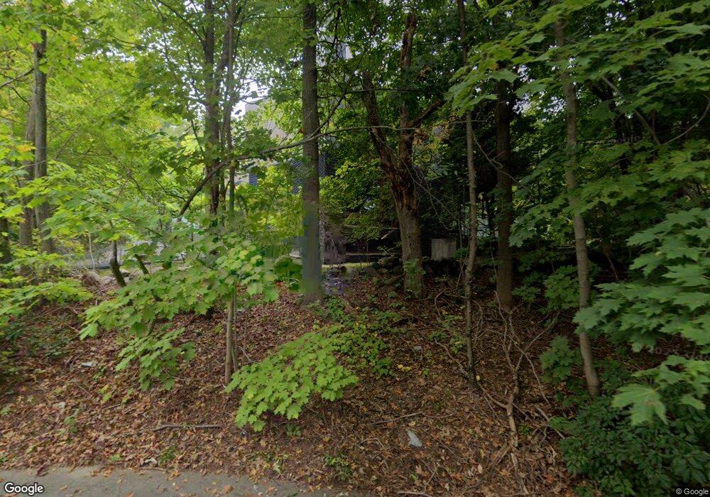
180 Cabot St Chestnut Hill, MA 02467
Chestnut Hill NeighborhoodEstimated Value: $6,236,893 - $8,739,000
6
Beds
7
Baths
7,942
Sq Ft
$922/Sq Ft
Est. Value
About This Home
This home is located at 180 Cabot St, Chestnut Hill, MA 02467 and is currently estimated at $7,322,631, approximately $922 per square foot. 180 Cabot St is a home located in Norfolk County with nearby schools including Heath Elementary School, Brimmer & May School, and Mount Alvernia Academy.
Ownership History
Date
Name
Owned For
Owner Type
Purchase Details
Closed on
May 27, 1994
Sold by
Jacobs Susan S
Bought by
Lr Nt
Current Estimated Value
Create a Home Valuation Report for This Property
The Home Valuation Report is an in-depth analysis detailing your home's value as well as a comparison with similar homes in the area
Home Values in the Area
Average Home Value in this Area
Purchase History
| Date | Buyer | Sale Price | Title Company |
|---|---|---|---|
| Lr Nt | $500,000 | -- |
Source: Public Records
Mortgage History
| Date | Status | Borrower | Loan Amount |
|---|---|---|---|
| Open | Lr Nt | $523,000 | |
| Open | Lr Nt | $1,300,000 | |
| Closed | Lr Nt | $1,000,000 |
Source: Public Records
Tax History Compared to Growth
Tax History
| Year | Tax Paid | Tax Assessment Tax Assessment Total Assessment is a certain percentage of the fair market value that is determined by local assessors to be the total taxable value of land and additions on the property. | Land | Improvement |
|---|---|---|---|---|
| 2025 | $78,800 | $7,983,800 | $2,824,600 | $5,159,200 |
| 2024 | $75,141 | $7,691,000 | $2,716,000 | $4,975,000 |
| 2023 | $74,049 | $7,427,200 | $2,263,600 | $5,163,600 |
| 2022 | $72,078 | $7,073,400 | $2,155,700 | $4,917,700 |
| 2021 | $66,654 | $6,801,400 | $2,072,800 | $4,728,600 |
| 2020 | $61,863 | $6,546,300 | $1,884,300 | $4,662,000 |
| 2019 | $58,418 | $6,234,600 | $1,794,600 | $4,440,000 |
| 2018 | $58,542 | $6,188,400 | $1,674,500 | $4,513,900 |
| 2017 | $57,680 | $5,838,100 | $1,579,700 | $4,258,400 |
| 2016 | $56,815 | $5,452,500 | $1,476,400 | $3,976,100 |
| 2015 | $54,423 | $5,095,800 | $1,379,800 | $3,716,000 |
| 2014 | $54,079 | $4,747,900 | $1,254,100 | $3,493,800 |
Source: Public Records
Map
Nearby Homes
- 88 Cutler Ln
- 130 Cabot St
- 335 Heath St
- 39 Clyde St
- 1014 Boylston St
- 675 Chestnut Hill Ave
- 30 Ackers Ave
- 142 Crafts Rd
- 540 Chestnut Hill Ave
- 55 Leicester St
- 382 Lee St
- 120 Seaver St Unit A103
- 120 Seaver St Unit C-102
- 174 Middlesex Rd
- 71 Sears Rd
- 0 Glenoe Rd
- 80 Dudley St
- 138 Woodland Rd
- 3 Glenoe Rd
- 9 Willard Rd
