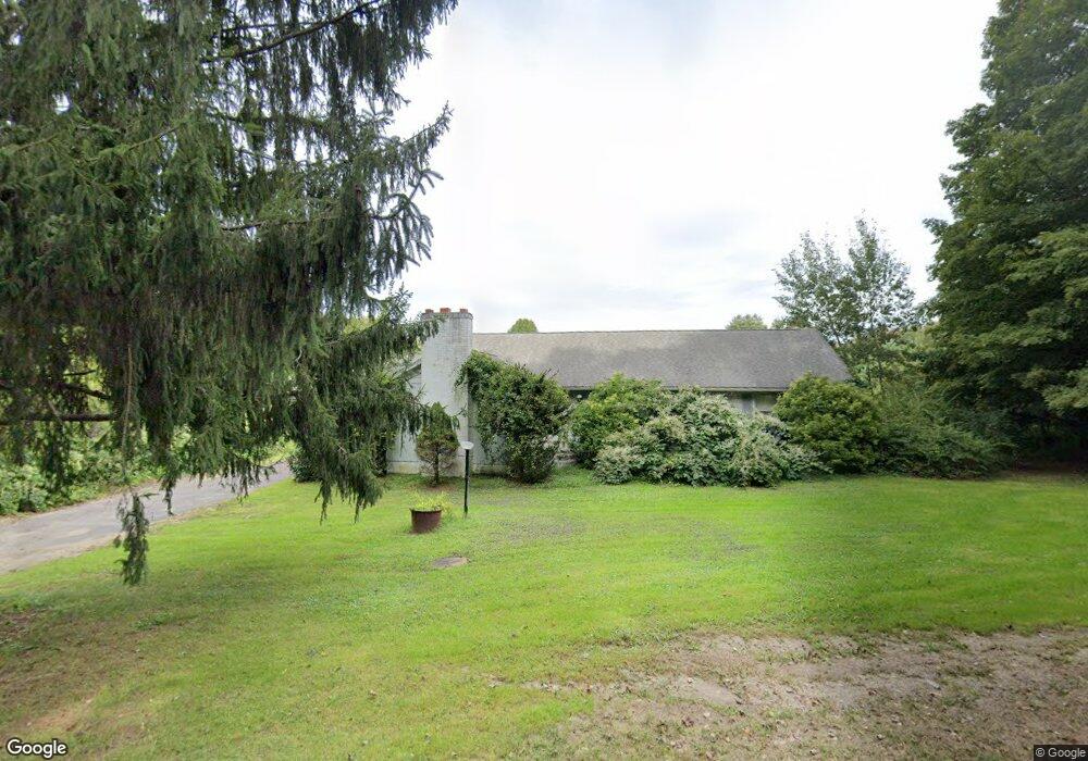
180 Crane Hill Rd Wilbraham, MA 01095
Estimated Value: $453,000 - $575,389
3
Beds
2
Baths
1,920
Sq Ft
$268/Sq Ft
Est. Value
About This Home
This home is located at 180 Crane Hill Rd, Wilbraham, MA 01095 and is currently estimated at $514,347, approximately $267 per square foot. 180 Crane Hill Rd is a home located in Hampden County with nearby schools including Minnechaug Regional High School.
Ownership History
Date
Name
Owned For
Owner Type
Purchase Details
Closed on
Oct 19, 2016
Sold by
Shapiro Susan A
Bought by
Lss Holdings 3 Llc
Current Estimated Value
Purchase Details
Closed on
Apr 28, 1988
Sold by
Guidette Donald V
Bought by
Shapiro Leo J
Home Financials for this Owner
Home Financials are based on the most recent Mortgage that was taken out on this home.
Original Mortgage
$1,200,000
Interest Rate
9.86%
Mortgage Type
Purchase Money Mortgage
Create a Home Valuation Report for This Property
The Home Valuation Report is an in-depth analysis detailing your home's value as well as a comparison with similar homes in the area
Home Values in the Area
Average Home Value in this Area
Purchase History
| Date | Buyer | Sale Price | Title Company |
|---|---|---|---|
| Lss Holdings 3 Llc | -- | -- | |
| Shapiro Leo J | $493,500 | -- |
Source: Public Records
Mortgage History
| Date | Status | Borrower | Loan Amount |
|---|---|---|---|
| Previous Owner | Shapiro Leo J | $1,200,000 |
Source: Public Records
Tax History
| Year | Tax Paid | Tax Assessment Tax Assessment Total Assessment is a certain percentage of the fair market value that is determined by local assessors to be the total taxable value of land and additions on the property. | Land | Improvement |
|---|---|---|---|---|
| 2025 | $8,370 | $468,100 | $205,800 | $262,300 |
| 2024 | $9,744 | $526,700 | $238,300 | $288,400 |
| 2023 | $9,419 | $503,200 | $238,300 | $264,900 |
| 2022 | $9,419 | $459,700 | $238,300 | $221,400 |
| 2021 | $7,829 | $341,000 | $170,900 | $170,100 |
| 2020 | $7,632 | $341,000 | $170,900 | $170,100 |
| 2019 | $7,434 | $341,000 | $170,900 | $170,100 |
| 2018 | $7,195 | $317,800 | $170,900 | $146,900 |
| 2017 | $6,992 | $317,800 | $170,900 | $146,900 |
| 2016 | $6,852 | $317,200 | $177,400 | $139,800 |
| 2015 | $6,623 | $317,200 | $177,400 | $139,800 |
Source: Public Records
Map
Nearby Homes
- 5 Silver St
- 16 Falcon Heights
- 474-480 Mountain Rd
- 38 King Dr
- 25 Red Gap Rd
- 3 Red Gap Rd
- 474 Mountain Rd
- 34 Main St
- 1 Aspen Dr
- 49 Balsam Hill Rd
- 44 Balsam Hill Rd
- 37 Balsam Hill Rd
- 80 Elizabeth Dr
- 7 Highridge Rd
- 6 Hilltop Park
- 35 Lake Dr
- 751 Ridge Rd
- 30 Red Bridge Rd Land Lot 3
- 30 Red Bridge Rd Land Lot 1
- 30 Red Bridge Rd Land Lot 6
- 144 Crane Hill Rd
- 163 Crane Hill Rd
- 179 Crane Hill Rd
- 169 Crane Hill Rd
- 140 Crane Hill Rd
- 183 Crane Hill Rd
- 194 Crane Hill Rd
- 136 Crane Hill Rd
- 108 Crane Hill Rd
- 199 Crane Hill Rd
- 8 Squire Dr
- 100 Crane Hill Rd
- 6 Squire Dr
- 6 Squire Dr Unit 6
- 6 Squire Dr
- 88 Crane Hill Rd
- 210 Crane Hill Rd
- 205 Crane Hill Rd
- 14 Squire Dr
- 12 Squire Dr
Your Personal Tour Guide
Ask me questions while you tour the home.