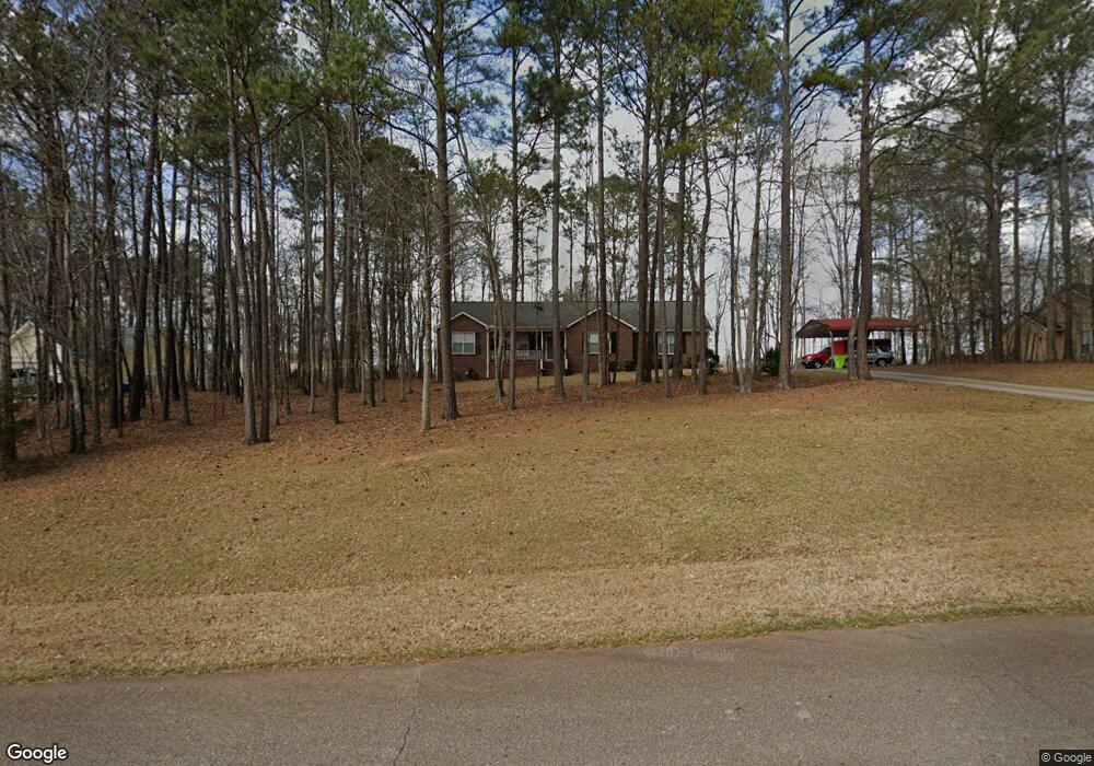
180 Duncans Mill Dr Unit I Locust Grove, GA 30248
Estimated Value: $281,451 - $312,000
3
Beds
2
Baths
1,570
Sq Ft
$189/Sq Ft
Est. Value
About This Home
This home is located at 180 Duncans Mill Dr Unit I, Locust Grove, GA 30248 and is currently estimated at $297,113, approximately $189 per square foot. 180 Duncans Mill Dr Unit I is a home located in Henry County with nearby schools including Unity Grove Elementary School, Locust Grove Middle School, and Locust Grove High School.
Ownership History
Date
Name
Owned For
Owner Type
Purchase Details
Closed on
Mar 9, 1999
Sold by
Cook Jeffrey A
Bought by
Mcadams Kenneth C and Mcadams Louise
Current Estimated Value
Home Financials for this Owner
Home Financials are based on the most recent Mortgage that was taken out on this home.
Original Mortgage
$116,400
Outstanding Balance
$27,740
Interest Rate
6.82%
Mortgage Type
New Conventional
Estimated Equity
$269,373
Purchase Details
Closed on
Apr 23, 1996
Sold by
Reeves Homes
Bought by
Cook Jeffrey A
Purchase Details
Closed on
Jan 10, 1996
Sold by
Standard Prop
Bought by
Reeves Homes
Create a Home Valuation Report for This Property
The Home Valuation Report is an in-depth analysis detailing your home's value as well as a comparison with similar homes in the area
Home Values in the Area
Average Home Value in this Area
Purchase History
| Date | Buyer | Sale Price | Title Company |
|---|---|---|---|
| Mcadams Kenneth C | $120,000 | -- | |
| Cook Jeffrey A | $109,900 | -- | |
| Reeves Homes | $15,500 | -- |
Source: Public Records
Mortgage History
| Date | Status | Borrower | Loan Amount |
|---|---|---|---|
| Open | Mcadams Kenneth C | $116,400 | |
| Closed | Reeves Homes | $0 |
Source: Public Records
Tax History Compared to Growth
Tax History
| Year | Tax Paid | Tax Assessment Tax Assessment Total Assessment is a certain percentage of the fair market value that is determined by local assessors to be the total taxable value of land and additions on the property. | Land | Improvement |
|---|---|---|---|---|
| 2025 | $3,184 | $113,656 | $14,000 | $99,656 |
| 2024 | $3,184 | $101,200 | $14,000 | $87,200 |
| 2023 | $2,618 | $107,160 | $14,000 | $93,160 |
| 2022 | $2,747 | $91,240 | $14,000 | $77,240 |
| 2021 | $2,304 | $72,480 | $14,000 | $58,480 |
| 2020 | $2,189 | $67,640 | $12,000 | $55,640 |
| 2019 | $2,014 | $60,240 | $12,000 | $48,240 |
| 2018 | $1,953 | $57,640 | $10,800 | $46,840 |
| 2016 | $1,772 | $51,320 | $10,000 | $41,320 |
| 2015 | $1,555 | $44,720 | $10,000 | $34,720 |
| 2014 | $1,475 | $42,360 | $10,000 | $32,360 |
Source: Public Records
Map
Nearby Homes
- 305 Annie Ln Unit 2
- 604 Onieda Dr
- 165 Caraway Rd
- 108 Caraway Rd
- 230 Leguin Mill Rd
- 601 Amerigo Ct
- 218 Baxter Ln
- 1627 Leguin Mill Rd
- 1850 Old Jackson Rd
- 521 Deadwood Trail
- 705 Seabolt Rd
- 678 Seabolt Rd
- 1000 Coan Dr
- 1680 Leguin Mill Rd
- 143 Kimbell Farm Dr
- 943 Colvin Dr
- 100 Harbin Trail
- 1126 Old Jackson Rd
- 121, 125, 129 Case Dr
- 976 S Laney Rd
- 184 Duncans Mill Dr Unit 1
- 176 Duncans Mill Dr
- 63 Kimbell Farm Dr
- 61 Kimbell Farm Dr Unit 524
- 61 Kimbell Farm Dr
- 65 Kimbell Farm Dr
- 181 Duncans Mill Rd
- 181 Duncans Mill Dr Unit 93
- 181 Duncans Mill Dr
- 181 Ducans Mill Dr
- 185 Duncans Mill Dr Unit 1
- 188 Duncans Mill Dr Unit 1
- 59 Kimbell Farm Dr
- 172 Duncans Mill Dr Unit 1
- 67 Kimbell Farm Dr Unit 5
- 175 Duncans Mill Dr Unit 1
- 0 Kimbell Farm Dr Unit 7117288
- 0 Kimbell Farm Dr Unit 7132720
- 0 Kimbell Farm Dr Unit 8635556
- 0 Kimbell Farm Dr Unit 8395773