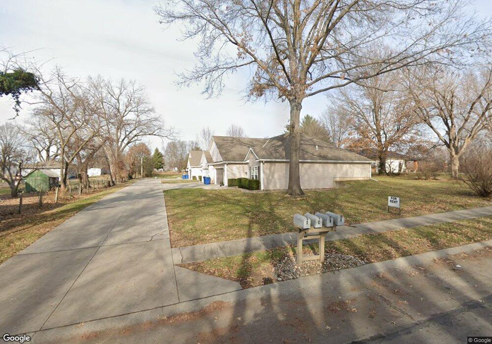
180 E Lawrence St Kearney, MO 64060
Estimated Value: $253,000 - $490,409
2
Beds
2
Baths
1,312
Sq Ft
$300/Sq Ft
Est. Value
About This Home
This home is located at 180 E Lawrence St, Kearney, MO 64060 and is currently estimated at $394,136, approximately $300 per square foot. 180 E Lawrence St is a home located in Clay County with nearby schools including Kearney Junior High School, Kearney High School, and Northern Hills Christian Academy.
Ownership History
Date
Name
Owned For
Owner Type
Purchase Details
Closed on
Jan 10, 2024
Sold by
Bowman Lisa R
Bought by
Bowman Rob D
Current Estimated Value
Purchase Details
Closed on
Nov 13, 2003
Sold by
Piercy Ronald L and Piercy Willa D
Bought by
Bri Mak Properties 1 Llc
Home Financials for this Owner
Home Financials are based on the most recent Mortgage that was taken out on this home.
Original Mortgage
$35,200
Interest Rate
6.5%
Mortgage Type
Purchase Money Mortgage
Create a Home Valuation Report for This Property
The Home Valuation Report is an in-depth analysis detailing your home's value as well as a comparison with similar homes in the area
Home Values in the Area
Average Home Value in this Area
Purchase History
| Date | Buyer | Sale Price | Title Company |
|---|---|---|---|
| Bowman Rob D | -- | None Listed On Document | |
| Bowman Robbie D | -- | None Listed On Document | |
| Bri Mak Properties 1 Llc | -- | Thomson Title Corporation |
Source: Public Records
Mortgage History
| Date | Status | Borrower | Loan Amount |
|---|---|---|---|
| Previous Owner | Bri Mak Properties 1 Llc | $35,200 |
Source: Public Records
Tax History
| Year | Tax Paid | Tax Assessment Tax Assessment Total Assessment is a certain percentage of the fair market value that is determined by local assessors to be the total taxable value of land and additions on the property. | Land | Improvement |
|---|---|---|---|---|
| 2025 | $6,722 | $108,950 | -- | -- |
| 2024 | $6,722 | $98,080 | -- | -- |
| 2023 | $6,699 | $98,080 | $0 | $0 |
| 2022 | $6,042 | $85,540 | $0 | $0 |
| 2021 | $5,922 | $85,538 | $6,650 | $78,888 |
| 2020 | $5,904 | $77,560 | $0 | $0 |
| 2019 | $5,873 | $77,560 | $0 | $0 |
Source: Public Records
Map
Nearby Homes
- 102 W Lawrence St
- 113 E Frank St
- 9900 NE 172nd St
- 201 S Marimack Dr
- 0 W Washington St
- Parcel B W Washington St
- Parcel A W Washington St
- Parcel C State Route 92
- 705 Marguerite St
- 200 E 10th St
- 901 Pine Crest Ave
- 819 Susan St
- 905 Susan St
- 919 E 8th Cir
- 1104 Regency Dr
- 1301 Ada St
- 307 W 11th Terrace
- 1202 Noah Ln
- 1204 Noah's Ln
- 1304 S Jefferson St
- 401 N Grove St
- 200 E Lawrence St
- 403 N Grove St
- 305 N Grove St
- 305 N Grove Terrace
- 402 N Grove St
- 400 N Grove St
- 303 N Grove St
- 306 N Grove St
- 303 N Grove Terrace
- 406 N Grove St
- 304 N Grove St
- 206 E Major St
- 202 E Major St
- 102e Lawrence St
- 103 E Lawrence St
- 200 E Major St
- 302 N Grove St
- 301 N Grove Terrace
- 408 N Grove St
Your Personal Tour Guide
Ask me questions while you tour the home.