180 Eastside Rd Wrentham, MA 02093
Estimated Value: $380,000 - $440,557
2
Beds
1
Bath
635
Sq Ft
$634/Sq Ft
Est. Value
About This Home
This home is located at 180 Eastside Rd, Wrentham, MA 02093 and is currently estimated at $402,889, approximately $634 per square foot. 180 Eastside Rd is a home located in Norfolk County with nearby schools including Delaney Elementary School and Charles E Roderick.
Ownership History
Date
Name
Owned For
Owner Type
Purchase Details
Closed on
Feb 14, 2011
Sold by
Swallow Lois A
Bought by
Wrentham Town Of
Current Estimated Value
Create a Home Valuation Report for This Property
The Home Valuation Report is an in-depth analysis detailing your home's value as well as a comparison with similar homes in the area
Home Values in the Area
Average Home Value in this Area
Purchase History
| Date | Buyer | Sale Price | Title Company |
|---|---|---|---|
| Wrentham Town Of | $901 | -- |
Source: Public Records
Tax History Compared to Growth
Tax History
| Year | Tax Paid | Tax Assessment Tax Assessment Total Assessment is a certain percentage of the fair market value that is determined by local assessors to be the total taxable value of land and additions on the property. | Land | Improvement |
|---|---|---|---|---|
| 2025 | $4,788 | $413,100 | $310,600 | $102,500 |
| 2024 | $4,229 | $352,400 | $310,600 | $41,800 |
| 2023 | $3,949 | $312,900 | $282,300 | $30,600 |
| 2022 | $3,844 | $281,200 | $256,700 | $24,500 |
| 2021 | $3,934 | $279,600 | $256,700 | $22,900 |
| 2020 | $3,273 | $229,700 | $195,900 | $33,800 |
| 2019 | $3,243 | $229,700 | $195,900 | $33,800 |
| 2018 | $3,130 | $219,800 | $176,400 | $43,400 |
| 2017 | $3,038 | $213,200 | $173,000 | $40,200 |
| 2016 | $2,972 | $208,100 | $168,000 | $40,100 |
| 2015 | $2,957 | $197,400 | $161,500 | $35,900 |
| 2014 | $2,915 | $190,400 | $155,300 | $35,100 |
Source: Public Records
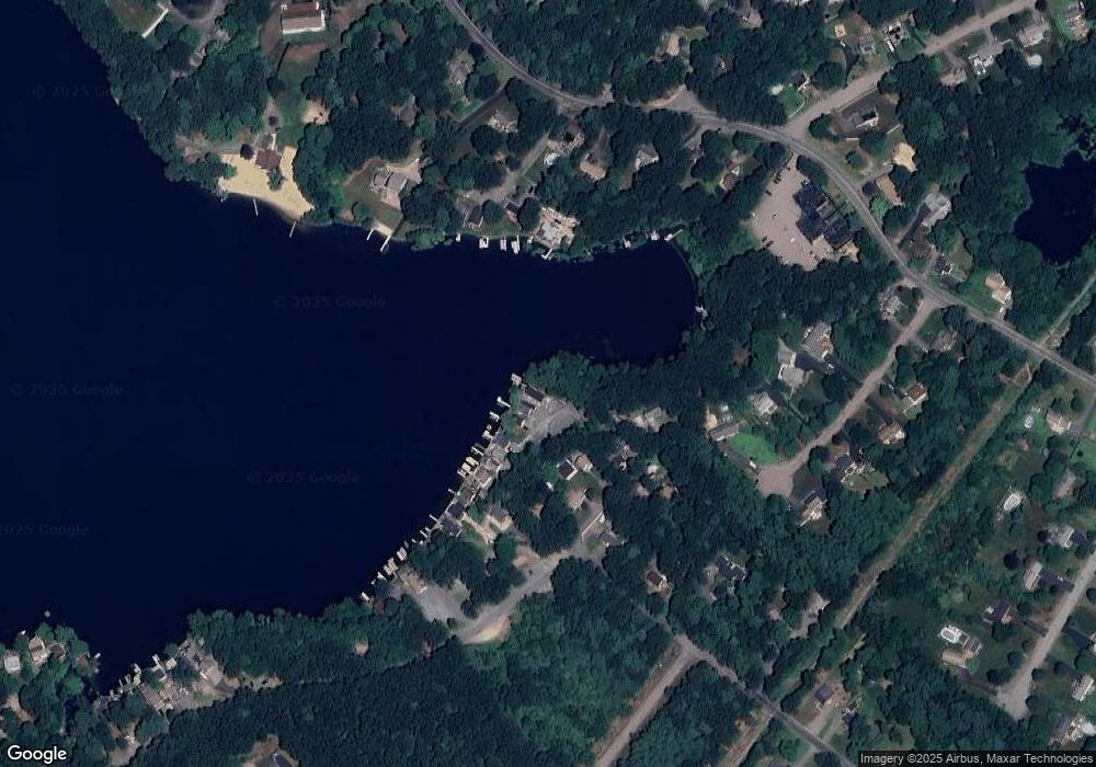
Map
Nearby Homes
- 131 Creek St Unit 7
- Lot 3 - 14 Earle Stewart Ln
- 11 Earle Stewart Ln
- Lot 1 - Blueberry 2 Car Plan at King Philip Estates
- Lot 8 - Blueberry 2 Car Plan at King Philip Estates
- Lot 5 - Hughes 2 car Plan at King Philip Estates
- Lot 6 - Blueberry 3 Car Plan at King Philip Estates
- Lot 2 - Camden 2 Car Plan at King Philip Estates
- Lot 7 - Cedar Plan at King Philip Estates
- Lot 4 - Hemingway 2 Car Plan at King Philip Estates
- Lot 3 - Blueberry 2 Car Plan at King Philip Estates
- 570 Franklin St
- 10 Nature View Dr
- 15 Nature View Dr
- 319 Taunton St
- 791 South St Unit 5
- 270 Dedham St
- 1 Lorraine Metcalf Dr
- 362 East St
- 50 Reed Fulton Ave Unit Lot 61
- 190 Eastside Rd
- 200 Eastside Rd
- 210 Eastside Rd
- 210 Eastside Rd Unit 1
- 165 Eastside Rd
- 155 Eastside Rd
- 340 Eastside Rd
- 150 Eastside Rd Unit 1
- 230 Eastside Rd
- 230 Eastside Rd
- 230 Eastside Rd Unit 230
- 240 Eastside Rd
- 240 Eastside Rd
- 250 Eastside Rd
- 320 Eastside Rd
- 90 Robert Topham Dr
- 330 Eastside Rd
- 150 Eastside Rd
- 145 Eastside Rd
- 245 Eastside Rd