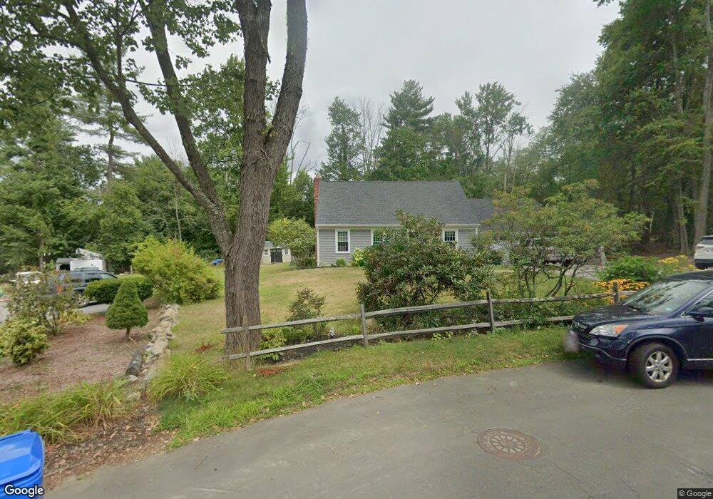
180 Farmstead Ln Torrington, CT 06790
Estimated Value: $349,673 - $393,000
3
Beds
2
Baths
1,756
Sq Ft
$211/Sq Ft
Est. Value
About This Home
This home is located at 180 Farmstead Ln, Torrington, CT 06790 and is currently estimated at $370,918, approximately $211 per square foot. 180 Farmstead Ln is a home located in Litchfield County with nearby schools including Torrington Middle School, Torrington High School, and Torrington Christian Academy.
Ownership History
Date
Name
Owned For
Owner Type
Purchase Details
Closed on
May 1, 2006
Sold by
Marcantonio John R and Marcantonio Carol L
Bought by
Wootton Duane E and Minelli-Wootton Jennifer
Current Estimated Value
Home Financials for this Owner
Home Financials are based on the most recent Mortgage that was taken out on this home.
Original Mortgage
$190,000
Interest Rate
6.4%
Create a Home Valuation Report for This Property
The Home Valuation Report is an in-depth analysis detailing your home's value as well as a comparison with similar homes in the area
Home Values in the Area
Average Home Value in this Area
Purchase History
| Date | Buyer | Sale Price | Title Company |
|---|---|---|---|
| Wootton Duane E | $255,000 | -- |
Source: Public Records
Mortgage History
| Date | Status | Borrower | Loan Amount |
|---|---|---|---|
| Open | Wootton Duane E | $173,900 | |
| Closed | Wootton Duane E | $190,000 | |
| Previous Owner | Wootton Duane E | $100,000 |
Source: Public Records
Tax History
| Year | Tax Paid | Tax Assessment Tax Assessment Total Assessment is a certain percentage of the fair market value that is determined by local assessors to be the total taxable value of land and additions on the property. | Land | Improvement |
|---|---|---|---|---|
| 2025 | $8,400 | $218,470 | $30,870 | $187,600 |
| 2024 | $5,386 | $112,270 | $30,870 | $81,400 |
| 2023 | $5,384 | $112,270 | $30,870 | $81,400 |
| 2022 | $5,292 | $112,270 | $30,870 | $81,400 |
| 2021 | $5,184 | $112,270 | $30,870 | $81,400 |
| 2020 | $5,093 | $110,320 | $30,870 | $79,450 |
| 2019 | $4,943 | $107,060 | $34,980 | $72,080 |
| 2018 | $4,943 | $107,060 | $34,980 | $72,080 |
| 2017 | $4,898 | $107,060 | $34,980 | $72,080 |
| 2016 | $4,745 | $103,710 | $34,990 | $68,720 |
| 2015 | $4,685 | $102,400 | $34,990 | $67,410 |
| 2014 | $5,496 | $151,320 | $64,820 | $86,500 |
Source: Public Records
Map
Nearby Homes
- 111 Oxbow Dr
- 660 Torringford St
- 179 Greenridge Rd
- 65 Oak Meadow Ln Unit 65
- 76 Elmira Ave
- 0 Torringford St W
- 101 Durand St
- 175 Ramstein Rd
- 272 Edgewood Dr
- 146 Highfield Dr
- 323 Highfield Dr
- 14 Hannah Way
- 23 Hannah Way
- 98 Wheeler Ln
- 483 Charles St
- 195 Torrington Heights Rd
- 32 Ridgewood Dr
- 238 Barton St
- 67 Amherst St
- 1683 Torringford St
- 181 Farmstead Ln
- 171 Farmstead Ln
- 224 Chestnut Hill Rd
- 200 Chestnut Hill Rd
- 300 Sycamore Dr
- 151 Farmstead Ln
- 278 Sycamore Dr
- 176 Farmstead Ln
- 180 Chestnut Hill Rd
- 254 Sycamore Dr
- 134 Farmstead Ln
- 227 Chestnut Hill Rd
- 548 Torringford East St
- 600 Torringford East St
- 460 Torringford East St
- 524 Torringford East St
- 398 Torringford East St
- 548 Torringford East St
- 197 Chestnut Hill Rd
- 141 Farmstead Ln
Your Personal Tour Guide
Ask me questions while you tour the home.