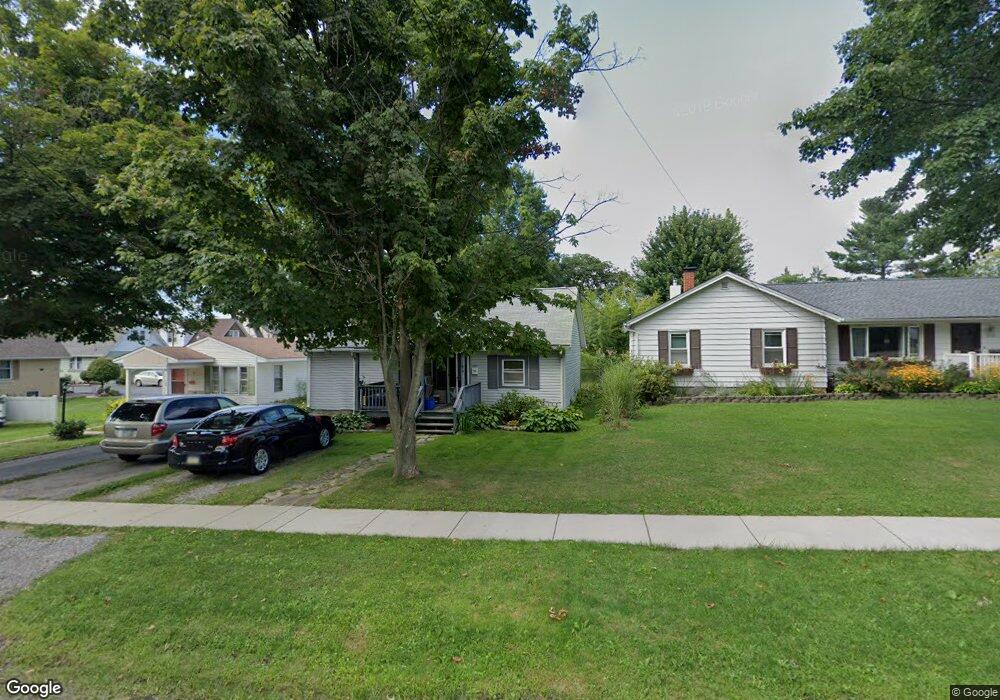
180 Grove St Cortland, OH 44410
Estimated Value: $83,350 - $122,000
2
Beds
1
Bath
768
Sq Ft
$133/Sq Ft
Est. Value
About This Home
This home is located at 180 Grove St, Cortland, OH 44410 and is currently estimated at $102,338, approximately $133 per square foot. 180 Grove St is a home located in Trumbull County with nearby schools including Lakeview Elementary School, Lakeview Middle School, and Lakeview High School.
Ownership History
Date
Name
Owned For
Owner Type
Purchase Details
Closed on
Dec 1, 2013
Sold by
Wilkinson Mary B and Wilkinson Thomas M
Bought by
Wilkinson Thomas Michael and Wilkinson Marybeth
Current Estimated Value
Purchase Details
Closed on
Nov 15, 2004
Sold by
Wojciak M Mary
Bought by
Wilkinson Thomas M and Wilkinson Mary B
Purchase Details
Closed on
May 22, 1996
Sold by
Petrosky Stephen J
Bought by
Wojciak M Mary
Home Financials for this Owner
Home Financials are based on the most recent Mortgage that was taken out on this home.
Original Mortgage
$42,750
Outstanding Balance
$2,458
Interest Rate
8.1%
Mortgage Type
New Conventional
Estimated Equity
$99,880
Purchase Details
Closed on
Jan 1, 1990
Bought by
Ralph D Griffin
Create a Home Valuation Report for This Property
The Home Valuation Report is an in-depth analysis detailing your home's value as well as a comparison with similar homes in the area
Home Values in the Area
Average Home Value in this Area
Purchase History
| Date | Buyer | Sale Price | Title Company |
|---|---|---|---|
| Wilkinson Thomas Michael | -- | None Available | |
| Wilkinson Thomas M | $63,500 | -- | |
| Wojciak M Mary | $45,000 | -- | |
| Ralph D Griffin | -- | -- |
Source: Public Records
Mortgage History
| Date | Status | Borrower | Loan Amount |
|---|---|---|---|
| Open | Wojciak M Mary | $42,750 |
Source: Public Records
Tax History Compared to Growth
Tax History
| Year | Tax Paid | Tax Assessment Tax Assessment Total Assessment is a certain percentage of the fair market value that is determined by local assessors to be the total taxable value of land and additions on the property. | Land | Improvement |
|---|---|---|---|---|
| 2024 | $1,183 | $21,980 | $3,080 | $18,900 |
| 2023 | $1,183 | $21,980 | $3,080 | $18,900 |
| 2022 | $966 | $15,050 | $3,080 | $11,970 |
| 2021 | $969 | $15,050 | $3,080 | $11,970 |
| 2020 | $974 | $15,050 | $3,080 | $11,970 |
| 2019 | $866 | $13,060 | $3,080 | $9,980 |
| 2018 | $870 | $13,060 | $3,080 | $9,980 |
| 2017 | $869 | $13,060 | $3,080 | $9,980 |
| 2016 | $906 | $13,160 | $3,080 | $10,080 |
| 2015 | $904 | $13,160 | $3,080 | $10,080 |
| 2014 | $797 | $13,160 | $3,080 | $10,080 |
| 2013 | $811 | $13,160 | $3,080 | $10,080 |
Source: Public Records
Map
Nearby Homes
- 167 S Mecca St
- 163 N Mecca St Unit 167
- 20 Harneds Landing Unit 20
- 0 N High St
- 151 Cedar Cir
- 101 Elizabeth Ct
- 211 Natale Dr
- 155 Heritage Ln
- 278 Rosewae Ave
- 105 Diamond Way Unit 105
- VL #7 Maplewood
- VL #8 Maplewood
- 297 Corriedale Dr
- 408 S Colonial Dr
- 266 Corriedale Dr
- 298 Corriedale Dr
- 229 Greenbriar Dr
- 130 Topaz Trail Unit 130
- 300 Wae Trail
- 124 Saint Andrews