180 Hancock Dr Toccoa, GA 30577
Estimated Value: $215,000 - $277,000
3
Beds
2
Baths
1,613
Sq Ft
$154/Sq Ft
Est. Value
About This Home
This home is located at 180 Hancock Dr, Toccoa, GA 30577 and is currently estimated at $248,026, approximately $153 per square foot. 180 Hancock Dr is a home located in Stephens County with nearby schools including Stephens County High School.
Ownership History
Date
Name
Owned For
Owner Type
Purchase Details
Closed on
Aug 20, 2003
Bought by
<Buyer Info Not Present>
Current Estimated Value
Purchase Details
Closed on
Aug 14, 2003
Bought by
<Buyer Info Not Present>
Purchase Details
Closed on
Jul 1, 1994
Bought by
Westmoreland Bobby E and Westmoreland Wendy R
Purchase Details
Closed on
Nov 1, 1991
Bought by
<Buyer Info Not Present>
Purchase Details
Closed on
Feb 1, 1988
Bought by
<Buyer Info Not Present>
Create a Home Valuation Report for This Property
The Home Valuation Report is an in-depth analysis detailing your home's value as well as a comparison with similar homes in the area
Purchase History
| Date | Buyer | Sale Price | Title Company |
|---|---|---|---|
| <Buyer Info Not Present> | -- | -- | |
| <Buyer Info Not Present> | $85,000 | -- | |
| Westmoreland Bobby E | -- | -- | |
| <Buyer Info Not Present> | $4,000 | -- | |
| <Buyer Info Not Present> | $3,600 | -- |
Source: Public Records
Tax History
| Year | Tax Paid | Tax Assessment Tax Assessment Total Assessment is a certain percentage of the fair market value that is determined by local assessors to be the total taxable value of land and additions on the property. | Land | Improvement |
|---|---|---|---|---|
| 2025 | $2,026 | $73,811 | $2,300 | $71,511 |
| 2024 | $1,439 | $47,264 | $2,300 | $44,964 |
| 2023 | $1,308 | $43,925 | $2,300 | $41,625 |
| 2022 | $1,234 | $41,436 | $2,300 | $39,136 |
| 2021 | $1,216 | $38,882 | $2,300 | $36,582 |
| 2020 | $1,223 | $38,732 | $2,300 | $36,432 |
| 2019 | $1,228 | $38,732 | $2,300 | $36,432 |
| 2018 | $1,205 | $38,008 | $2,300 | $35,708 |
| 2017 | $1,224 | $38,008 | $2,300 | $35,708 |
| 2016 | $1,205 | $38,007 | $2,300 | $35,707 |
| 2015 | $1,261 | $37,978 | $2,300 | $35,678 |
| 2014 | $1,282 | $37,979 | $2,300 | $35,679 |
| 2013 | -- | $39,080 | $2,800 | $36,280 |
Source: Public Records
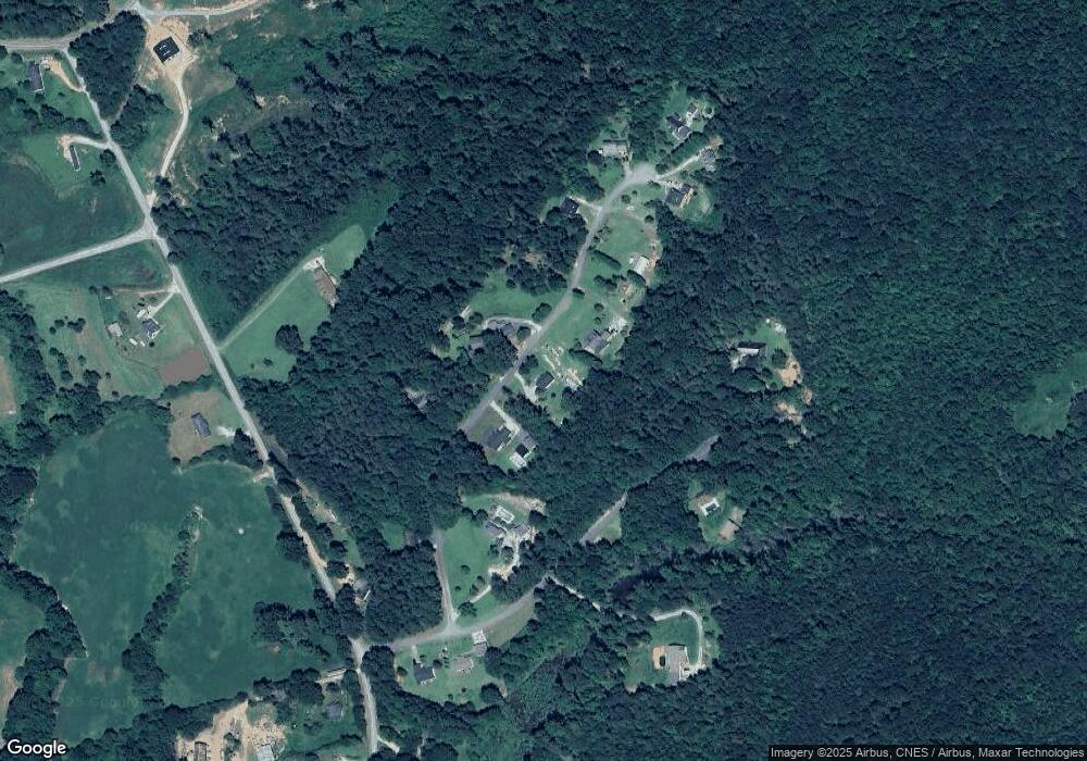
Map
Nearby Homes
- 33 Jefferson Place
- 1707 Buena Vista Dr
- 2671 Liberty Hill Rd
- 740 Broad River Church Rd Tract A
- 838 Racetrack Rd
- 1562 Liberty Hill Rd
- 184 Scott Cir
- 673 Racetrack Rd
- 653 Racetrack Rd
- 61 Georgia 145
- 81 Mcmurray Cir
- 0 Broad River Rd Unit 10667085
- 0 Broad River Rd Unit 10667076
- 424 Law House Rd
- 00 Memorial Dr
- 00 Meadowbrook Dr
- 297 E Leatherwood Rd
- 128 Tabitha Page Ln
- 551 P S Rd
- 193 Tabitha Page Ln
- 224 Hancock Dr
- 130 Hancock Dr
- 165 Hancock Dr
- 117 Hancock Dr
- 269 Hancock Dr
- 12 Hancock Dr
- 69 Hancock Dr Unit 2
- 69 Hancock Dr
- 243 Jefferson Place
- 302 Hancock Dr
- 191 Freeman Creek Rd
- 218 Jefferson Place
- 291 Hancock Dr
- 244 Jefferson Place
- 307 Freeman Creek Rd
- 58 Jefferson Place
- 308 Hancock Dr
- 130 Jefferson Place
- 305 Hancock Dr
- 6779 Hancock Dr
Your Personal Tour Guide
Ask me questions while you tour the home.