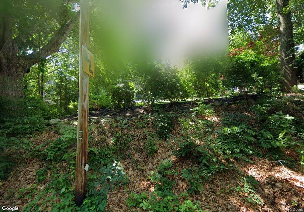
180 Hanton Rd North Smithfield, RI 02896
Estimated Value: $502,734 - $583,000
4
Beds
3
Baths
1,980
Sq Ft
$276/Sq Ft
Est. Value
About This Home
This home is located at 180 Hanton Rd, North Smithfield, RI 02896 and is currently estimated at $546,934, approximately $276 per square foot. 180 Hanton Rd is a home located in Providence County with nearby schools including North Smithfield Elementary School, North Smithfield Middle School, and North Smithfield High School.
Ownership History
Date
Name
Owned For
Owner Type
Purchase Details
Closed on
Sep 28, 2020
Sold by
Hargreaves William T and Hargreaves Diane M
Bought by
Hargreaves Ft
Current Estimated Value
Purchase Details
Closed on
Jan 31, 1992
Sold by
Scott Daniel C
Bought by
Hargreaves William
Purchase Details
Closed on
Sep 14, 1989
Sold by
R Elliott Bldrs Inc
Bought by
Scott Daniel C
Create a Home Valuation Report for This Property
The Home Valuation Report is an in-depth analysis detailing your home's value as well as a comparison with similar homes in the area
Home Values in the Area
Average Home Value in this Area
Purchase History
| Date | Buyer | Sale Price | Title Company |
|---|---|---|---|
| Hargreaves Ft | -- | None Available | |
| Hargreaves William | $190,000 | -- | |
| Scott Daniel C | $210,000 | -- |
Source: Public Records
Mortgage History
| Date | Status | Borrower | Loan Amount |
|---|---|---|---|
| Previous Owner | Scott Daniel C | $268,000 | |
| Previous Owner | Scott Daniel C | $199,000 | |
| Previous Owner | Scott Daniel C | $127,000 |
Source: Public Records
Tax History Compared to Growth
Tax History
| Year | Tax Paid | Tax Assessment Tax Assessment Total Assessment is a certain percentage of the fair market value that is determined by local assessors to be the total taxable value of land and additions on the property. | Land | Improvement |
|---|---|---|---|---|
| 2024 | $5,295 | $358,500 | $88,600 | $269,900 |
| 2023 | $5,109 | $358,500 | $88,600 | $269,900 |
| 2022 | $4,987 | $358,500 | $88,600 | $269,900 |
| 2021 | $4,698 | $288,400 | $83,800 | $204,600 |
| 2020 | $4,698 | $288,400 | $83,800 | $204,600 |
| 2019 | $4,577 | $288,400 | $83,800 | $204,600 |
| 2018 | $4,327 | $251,000 | $80,000 | $171,000 |
| 2017 | $4,222 | $251,000 | $80,000 | $171,000 |
| 2016 | $4,106 | $251,000 | $80,000 | $171,000 |
| 2015 | $4,248 | $254,700 | $79,900 | $174,800 |
| 2014 | $4,080 | $254,700 | $79,900 | $174,800 |
Source: Public Records
Map
Nearby Homes
- 1 Robin Way
- 8 Vincent Ave
- 2 Raymond St
- 127 Greenville Rd
- 0 Chester St
- 132 Greenville Rd
- 36 Old Louisquisset Pike Unit 208
- 36 Old Louisquisset Pike Unit 202
- 36 Old Louisquisset Pike Unit 206
- 36 Old Louisquisset Pike Unit 204
- 36 Old Louisquisset Pike Unit 209
- 36 Old Louisquisset Pike Unit 109
- 36 Old Louisquisset Pike Unit 107
- 36 Old Louisquisset Pike Unit 108
- 36 Old Louisquisset Pike Unit 104
- 36 Old Louisquisset Pike Unit 106
- 36 Old Louisquisset Pike Unit 105
- 36 Old Louisquisset Pike Unit 101
- 60 White Pkwy
- 28 White Pkwy
- 2 Robin Way
- 1 Pheasant Run Rd
- 4 Robin Way
- 5 Pheasant Run Rd
- 7 Pheasant Run Rd
- 6 Robin Way
- 3 Robin Way
- 9 Pheasant Run Rd
- 20 Deerfield Dr
- 0 Hanton Rd Unit 1172221
- 0 Hanton Rd Unit 1186518
- 0 Hanton Rd Unit 1258615
- 5 Robin Way
- 196 Hanton Rd
- 2 Pheasant Run Rd
- 22 Deerfield Dr
- 7 Robin Way
- 8 Pheasant Run Rd
- 14 Deerfield Dr
- 163 Hanton Rd
