180 Homestead Cir Forsyth, GA 31029
Estimated Value: $516,000 - $573,000
3
Beds
4
Baths
3,490
Sq Ft
$158/Sq Ft
Est. Value
About This Home
This home is located at 180 Homestead Cir, Forsyth, GA 31029 and is currently estimated at $550,906, approximately $157 per square foot. 180 Homestead Cir is a home located in Monroe County with nearby schools including Katherine B. Sutton Elementary School and Mary Persons High School.
Ownership History
Date
Name
Owned For
Owner Type
Purchase Details
Closed on
Oct 19, 2009
Sold by
Federal Deposit Insurance Corporation
Bought by
Pitts Sandra S
Current Estimated Value
Purchase Details
Closed on
Mar 4, 2008
Sold by
Greg Foster Homes Llc
Bought by
Firstbank Financial Services
Purchase Details
Closed on
Oct 26, 2005
Sold by
Henco Development Co Llc
Bought by
Greg Foster Homes
Purchase Details
Closed on
Oct 13, 2005
Bought by
Greg Foster Homes Llc
Purchase Details
Closed on
Sep 17, 2004
Create a Home Valuation Report for This Property
The Home Valuation Report is an in-depth analysis detailing your home's value as well as a comparison with similar homes in the area
Home Values in the Area
Average Home Value in this Area
Purchase History
| Date | Buyer | Sale Price | Title Company |
|---|---|---|---|
| Pitts Sandra S | $272,400 | -- | |
| Firstbank Financial Services | -- | -- | |
| First Bank Financial Svcs | -- | -- | |
| Greg Foster Homes | $349,500 | -- | |
| Greg Foster Homes Llc | $349,500 | -- | |
| -- | -- | -- | |
| -- | -- | -- |
Source: Public Records
Tax History
| Year | Tax Paid | Tax Assessment Tax Assessment Total Assessment is a certain percentage of the fair market value that is determined by local assessors to be the total taxable value of land and additions on the property. | Land | Improvement |
|---|---|---|---|---|
| 2025 | $5,539 | $208,760 | $14,000 | $194,760 |
| 2024 | $5,539 | $208,760 | $14,000 | $194,760 |
| 2023 | $5,315 | $176,320 | $14,000 | $162,320 |
| 2022 | $4,341 | $172,320 | $10,000 | $162,320 |
| 2021 | $4,493 | $172,320 | $10,000 | $162,320 |
| 2020 | $4,146 | $156,280 | $10,000 | $146,280 |
| 2019 | $4,097 | $153,480 | $7,200 | $146,280 |
| 2018 | $4,110 | $153,480 | $7,200 | $146,280 |
| 2017 | $4,461 | $153,480 | $7,200 | $146,280 |
| 2016 | $3,909 | $153,480 | $7,200 | $146,280 |
| 2015 | $3,707 | $153,480 | $7,200 | $146,280 |
| 2014 | $3,577 | $153,480 | $7,200 | $146,280 |
Source: Public Records
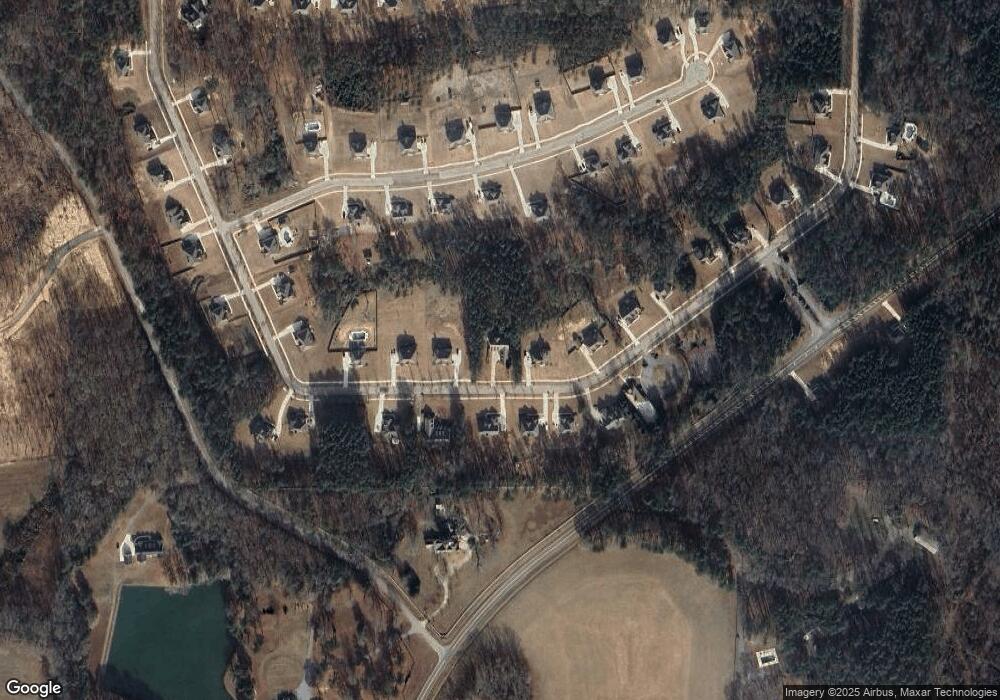
Map
Nearby Homes
- 170 Homestead Cir
- 40 Timber Dr
- 120 Homestead Cir
- 381 Homestead Cir
- 341 Homestead Cir Unit LOT 22A
- 351 Homestead Circle Lot 23a Cir Unit LOT 23A
- 6418 Georgia 42
- 160 Aaron Ct
- 170 Aaron Ct
- 6599 Ga Highway 42 N
- 0 Brownlee Rd Unit 10671220
- 738 Teagle Rd
- 343 Fawn Rd
- 0 Garr Rd Unit 10439858
- 49 Stokes Store Rd
- LOT 48 Stokes Store Rd
- 718 Mount Vernon Church Rd
- 3528 Highway 42 S
- 0 Duncan Cir Unit 10662847
- 739 Westbrooks Rd
- 190 Homestead Cir Unit Lot 33
- 551 Homestead Lot 43 Cir
- 160 Homestead Cir
- 200 Homestead Cir Unit Lot 15/16
- 200 Homestead Cir Unit Lot 34
- 60 Timber Dr
- 60 Timber Dr Unit LOT 4C
- 181 Homestead Cir Unit Lot 08
- 50 Timber Dr Unit Lot C3
- 175 Homestead Cir Unit Lot 07
- 66 Timber Dr 5c Unit LOT 5C
- 191 Homestead Cir
- 191 Homestead Cir Unit A9
- 40 Timber Drive C2 Unit LOT C2
- 150 Homestead Cir
- 150 Homestead Cir Unit B29
- 171 Homestead Cir Unit Lot 6
- 210 Homestead Cir Unit Lot 35
- 201 Homestead Cir Unit Lot 10
- 551 Homestead Cir Unit 43
Your Personal Tour Guide
Ask me questions while you tour the home.