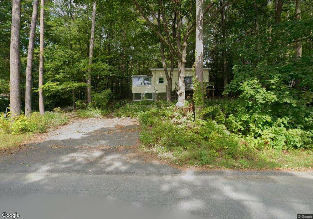
180 Island Rd Lunenburg, MA 01462
Estimated Value: $518,571 - $602,000
3
Beds
2
Baths
2,000
Sq Ft
$276/Sq Ft
Est. Value
About This Home
This home is located at 180 Island Rd, Lunenburg, MA 01462 and is currently estimated at $552,893, approximately $276 per square foot. 180 Island Rd is a home located in Worcester County with nearby schools including Lunenburg Primary School and Lunenburg High School.
Ownership History
Date
Name
Owned For
Owner Type
Purchase Details
Closed on
Sep 30, 2008
Sold by
Bakaysa Pamela J
Bought by
Mcnally Michael F and Castner Cara
Current Estimated Value
Home Financials for this Owner
Home Financials are based on the most recent Mortgage that was taken out on this home.
Original Mortgage
$273,704
Outstanding Balance
$183,226
Interest Rate
6.57%
Mortgage Type
Purchase Money Mortgage
Estimated Equity
$369,667
Purchase Details
Closed on
Mar 21, 2006
Sold by
Bakaysa Emerick R and Bakaysa Pamela J
Bought by
Bakaysa Pamela J
Create a Home Valuation Report for This Property
The Home Valuation Report is an in-depth analysis detailing your home's value as well as a comparison with similar homes in the area
Home Values in the Area
Average Home Value in this Area
Purchase History
| Date | Buyer | Sale Price | Title Company |
|---|---|---|---|
| Mcnally Michael F | $278,000 | -- | |
| Bakaysa Pamela J | -- | -- |
Source: Public Records
Mortgage History
| Date | Status | Borrower | Loan Amount |
|---|---|---|---|
| Open | Mcnally Michael F | $273,704 |
Source: Public Records
Tax History Compared to Growth
Tax History
| Year | Tax Paid | Tax Assessment Tax Assessment Total Assessment is a certain percentage of the fair market value that is determined by local assessors to be the total taxable value of land and additions on the property. | Land | Improvement |
|---|---|---|---|---|
| 2025 | $5,674 | $395,100 | $141,100 | $254,000 |
| 2024 | $5,333 | $378,200 | $133,100 | $245,100 |
| 2023 | $5,174 | $353,900 | $119,800 | $234,100 |
| 2022 | $4,872 | $283,400 | $100,000 | $183,400 |
| 2020 | $4,911 | $271,000 | $99,800 | $171,200 |
| 2019 | $4,621 | $247,400 | $92,100 | $155,300 |
| 2018 | $2,885 | $236,200 | $94,000 | $142,200 |
| 2017 | $3,045 | $220,800 | $83,900 | $136,900 |
| 2016 | $4,216 | $215,000 | $84,700 | $130,300 |
| 2015 | $3,829 | $209,000 | $81,000 | $128,000 |
Source: Public Records
Map
Nearby Homes
- 167 S Row Rd
- 130 Gilchrest St
- 73 Royal Fern Dr
- 372 Townsend Harbor Rd
- 00 Tyler Rd
- 150 Townsend Harbor Rd
- 78 Turkey Hill Rd
- 691 Chase Rd
- 63 Holman St
- 319 Highland St
- 104 Ash St
- 0 Tyler Rd Unit 72560808
- 142 Whiting St
- 1 Libra Ln
- 2 Tamarack Ln
- 12 Clement Rd
- 507/533R W Townsend Rd
- 759 Northfield Rd
- 17 Ponderosa Dr
- 830 Massachusetts Ave