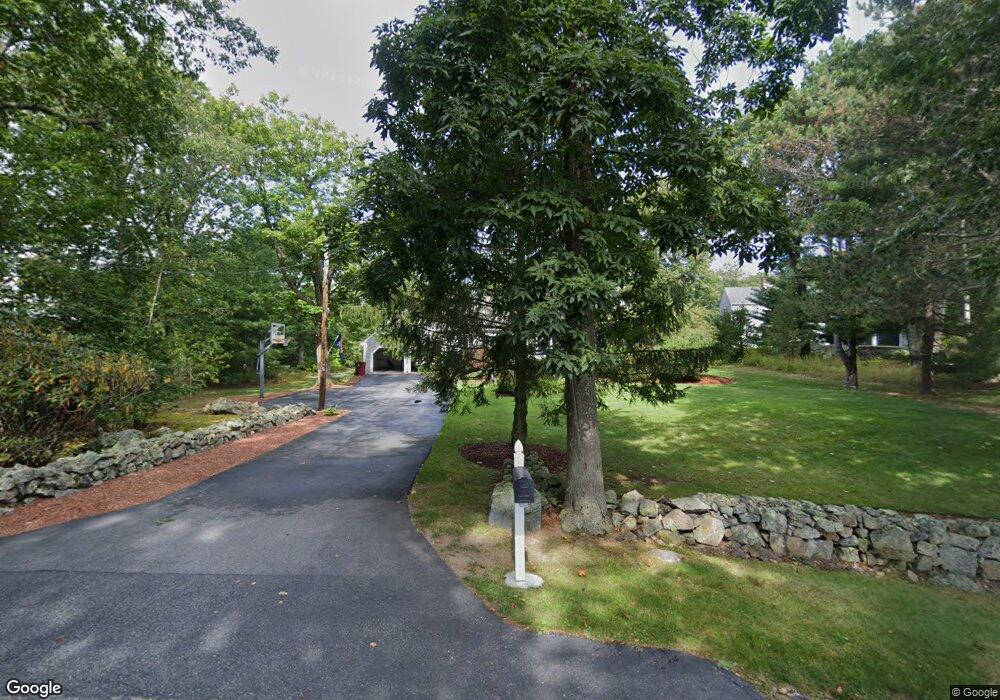
180 Lamberts Ln Cohasset, MA 02025
Estimated Value: $1,531,000 - $2,006,000
4
Beds
6
Baths
3,446
Sq Ft
$526/Sq Ft
Est. Value
About This Home
This home is located at 180 Lamberts Ln, Cohasset, MA 02025 and is currently estimated at $1,811,941, approximately $525 per square foot. 180 Lamberts Ln is a home located in Norfolk County with nearby schools including Joseph Osgood School, Deer Hill School, and Cohasset Middle School.
Ownership History
Date
Name
Owned For
Owner Type
Purchase Details
Closed on
May 14, 2013
Sold by
180 Lamberts Lane Rt
Bought by
Larsen Donald F and Larsen Marykate
Current Estimated Value
Home Financials for this Owner
Home Financials are based on the most recent Mortgage that was taken out on this home.
Original Mortgage
$600,000
Outstanding Balance
$415,876
Interest Rate
3%
Mortgage Type
Adjustable Rate Mortgage/ARM
Estimated Equity
$1,396,065
Purchase Details
Closed on
May 21, 2004
Sold by
Towle Patience G and Towle Richard W
Bought by
Larsen Donald F and Larsen Mary K
Home Financials for this Owner
Home Financials are based on the most recent Mortgage that was taken out on this home.
Original Mortgage
$625,000
Interest Rate
5.75%
Mortgage Type
Purchase Money Mortgage
Create a Home Valuation Report for This Property
The Home Valuation Report is an in-depth analysis detailing your home's value as well as a comparison with similar homes in the area
Home Values in the Area
Average Home Value in this Area
Purchase History
| Date | Buyer | Sale Price | Title Company |
|---|---|---|---|
| Larsen Donald F | -- | -- | |
| Larsen Donald F | $783,500 | -- |
Source: Public Records
Mortgage History
| Date | Status | Borrower | Loan Amount |
|---|---|---|---|
| Open | Larsen Donald F | $600,000 | |
| Previous Owner | Larsen Donald F | $625,000 |
Source: Public Records
Tax History Compared to Growth
Tax History
| Year | Tax Paid | Tax Assessment Tax Assessment Total Assessment is a certain percentage of the fair market value that is determined by local assessors to be the total taxable value of land and additions on the property. | Land | Improvement |
|---|---|---|---|---|
| 2025 | $16,838 | $1,454,100 | $723,600 | $730,500 |
| 2024 | $16,614 | $1,365,200 | $623,800 | $741,400 |
| 2023 | $16,109 | $1,365,200 | $623,800 | $741,400 |
| 2022 | $12,373 | $985,100 | $333,900 | $651,200 |
| 2021 | $10,424 | $799,400 | $333,900 | $465,500 |
| 2020 | $10,368 | $799,400 | $333,900 | $465,500 |
| 2019 | $10,312 | $799,400 | $333,900 | $465,500 |
| 2018 | $10,224 | $799,400 | $333,900 | $465,500 |
| 2017 | $9,911 | $758,900 | $317,900 | $441,000 |
| 2016 | $9,775 | $758,900 | $317,900 | $441,000 |
| 2015 | $9,646 | $758,900 | $317,900 | $441,000 |
| 2014 | $8,955 | $714,100 | $317,900 | $396,200 |
Source: Public Records
Map
Nearby Homes
- 45 Ocean Ledge Dr
- 152 Forest Ave
- 10 Ocean Ledge Dr
- 6 Grace Dr
- 166 Hull St
- 321 Rockland St
- 247 Forest Ave
- 114 Hull St
- 1 Gatehouse Ln Unit 1
- 577 Jerusalem Rd
- 29 Heather Dr
- 10 Chestnut Place
- 6 State Park Rd Unit 2
- 25 Oceanside Dr
- 62 Oceanside Dr
- 23 Wyola Rd
- 20 Rockland House Rd Unit 203
- 121 Nantasket Ave Unit 503
- 22 Berkley Rd Unit B
- 22 Berkley Rd Unit C