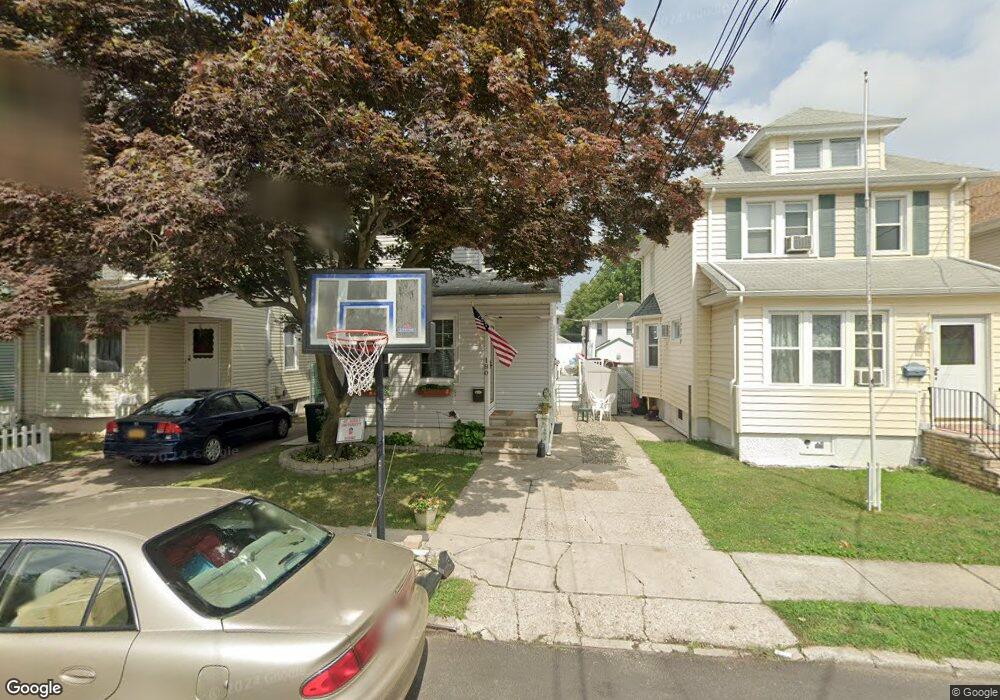
180 Lexington Ave Staten Island, NY 10302
Port Richmond NeighborhoodEstimated Value: $591,000 - $654,000
3
Beds
2
Baths
1,680
Sq Ft
$371/Sq Ft
Est. Value
About This Home
This home is located at 180 Lexington Ave, Staten Island, NY 10302 and is currently estimated at $623,053, approximately $370 per square foot. 180 Lexington Ave is a home located in Richmond County with nearby schools including P.S. 19 The Curtis School, I.S. 51 Edwin Markham, and Port Richmond High School.
Ownership History
Date
Name
Owned For
Owner Type
Purchase Details
Closed on
Oct 9, 2002
Sold by
Murphy James B and Murphy Susan E
Bought by
Bifalco Neil and Bifalco Lisa M
Current Estimated Value
Home Financials for this Owner
Home Financials are based on the most recent Mortgage that was taken out on this home.
Original Mortgage
$175,000
Interest Rate
6.02%
Mortgage Type
Purchase Money Mortgage
Purchase Details
Closed on
Mar 29, 2002
Sold by
Murphy Leo
Bought by
Murphy James B and Murphy Susan E
Create a Home Valuation Report for This Property
The Home Valuation Report is an in-depth analysis detailing your home's value as well as a comparison with similar homes in the area
Home Values in the Area
Average Home Value in this Area
Purchase History
| Date | Buyer | Sale Price | Title Company |
|---|---|---|---|
| Bifalco Neil | $250,000 | -- | |
| Murphy James B | -- | Lawyers Title Insurance Corp |
Source: Public Records
Mortgage History
| Date | Status | Borrower | Loan Amount |
|---|---|---|---|
| Previous Owner | Bifalco Neil | $175,000 |
Source: Public Records
Tax History Compared to Growth
Tax History
| Year | Tax Paid | Tax Assessment Tax Assessment Total Assessment is a certain percentage of the fair market value that is determined by local assessors to be the total taxable value of land and additions on the property. | Land | Improvement |
|---|---|---|---|---|
| 2025 | $4,755 | $35,820 | $7,314 | $28,506 |
| 2024 | $4,755 | $33,360 | $7,409 | $25,951 |
| 2023 | $4,650 | $22,896 | $7,405 | $15,491 |
| 2022 | $4,554 | $28,260 | $10,440 | $17,820 |
| 2021 | $4,665 | $27,000 | $10,440 | $16,560 |
| 2020 | $4,426 | $26,220 | $10,440 | $15,780 |
| 2019 | $4,127 | $24,720 | $10,440 | $14,280 |
| 2018 | $3,889 | $19,080 | $8,405 | $10,675 |
| 2017 | $3,875 | $19,008 | $9,316 | $9,692 |
| 2016 | $3,693 | $18,471 | $9,453 | $9,018 |
| 2015 | $3,155 | $17,426 | $10,254 | $7,172 |
| 2014 | $3,155 | $16,440 | $11,580 | $4,860 |
Source: Public Records
Map
Nearby Homes
- 46 Catherine St
- 263 Decker Ave
- 152 Cortlandt St
- 155 Cortlandt St
- 125 Decker Ave
- 47 Montell St
- 67 Lexington Ave
- 1328 Forest Ave
- 21 Dryden Ct
- 469 Port Richmond Ave
- 338 Decker Ave
- 25 Lexington Ave
- 348 Decker Ave
- 28 Hooker Place
- 57 Burnside Ave
- 616 Port Richmond Ave
- 30 Decker Ave
- 22 Marianne St
- 646 Port Richmond Ave
- 646-662 Port Richmond Ave
- 182 Lexington Ave
- 170 Lexington Ave
- 186 Lexington Ave
- 168 Lexington Ave
- 190 Lexington Ave
- 166 Lexington Ave
- 201 Decker Ave
- 199 Decker Ave
- 203 Decker Ave
- 192 Lexington Ave
- 197 Decker Ave
- 205 Decker Ave
- 195 Decker Ave
- 179 Lexington Ave
- 209 Decker Ave
- 181 Lexington Ave
- 177 Lexington Ave
- 183 Lexington Ave
- 196 Lexington Ave
- 175 Lexington Ave