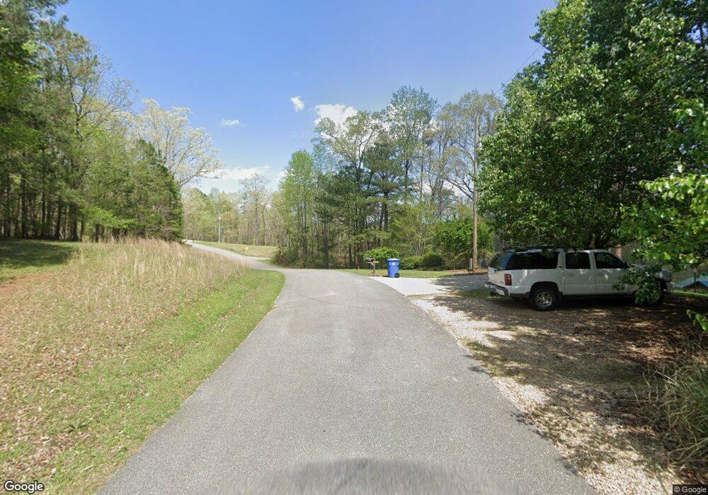
180 Misty Ln Wedowee, AL 36278
Estimated Value: $371,000 - $948,000
--
Bed
--
Bath
1,500
Sq Ft
$461/Sq Ft
Est. Value
About This Home
This home is located at 180 Misty Ln, Wedowee, AL 36278 and is currently estimated at $691,581, approximately $461 per square foot. 180 Misty Ln is a home.
Ownership History
Date
Name
Owned For
Owner Type
Purchase Details
Closed on
Mar 23, 2021
Sold by
Brinson Jr Sheldon A
Bought by
Brinson Sheldon A and Brinson Stacie Towler
Current Estimated Value
Purchase Details
Closed on
Jun 21, 2016
Sold by
Hobson Christopher M and Hobson Patti D
Bought by
Brinson Sheldon A
Home Financials for this Owner
Home Financials are based on the most recent Mortgage that was taken out on this home.
Original Mortgage
$254,000
Interest Rate
3.64%
Mortgage Type
New Conventional
Create a Home Valuation Report for This Property
The Home Valuation Report is an in-depth analysis detailing your home's value as well as a comparison with similar homes in the area
Home Values in the Area
Average Home Value in this Area
Purchase History
| Date | Buyer | Sale Price | Title Company |
|---|---|---|---|
| Brinson Sheldon A | -- | None Listed On Document | |
| Brinson Sheldon A | $454,000 | -- |
Source: Public Records
Mortgage History
| Date | Status | Borrower | Loan Amount |
|---|---|---|---|
| Previous Owner | Brinson Sheldon A | $254,000 |
Source: Public Records
Tax History Compared to Growth
Tax History
| Year | Tax Paid | Tax Assessment Tax Assessment Total Assessment is a certain percentage of the fair market value that is determined by local assessors to be the total taxable value of land and additions on the property. | Land | Improvement |
|---|---|---|---|---|
| 2024 | $1,311 | $40,980 | $15,000 | $25,980 |
| 2023 | $1,311 | $39,760 | $15,000 | $24,760 |
| 2022 | $1,311 | $39,760 | $15,000 | $24,760 |
| 2021 | $1,311 | $39,760 | $15,000 | $24,760 |
| 2020 | $1,272 | $39,760 | $15,000 | $24,760 |
| 2018 | $1,322 | $41,320 | $15,600 | $25,720 |
| 2017 | $2,606 | $40,760 | $16,000 | $24,760 |
| 2016 | $972 | $30,360 | $16,000 | $14,360 |
| 2015 | $972 | $303,462 | $0 | $0 |
| 2014 | -- | $303,462 | $0 | $0 |
| 2013 | $972 | $303,462 | $0 | $0 |
Source: Public Records
Map
Nearby Homes
- 0 Monties Point Ln Unit 28 20171309
- LOT 42 County Road 897
- 0 Monties Pointe Ln Unit 28 21369793
- Lot 5 Daisy Dr Unit 5
- 52 Indigo Dr
- 71 Primrose Dr
- Lot 127 Post Oak Rd Unit 127
- lots 126 Red Cedar Unit 126
- lots 125 Red Cedar Unit 125
- Lots 124 Red Cedar Unit 12
- Lots 123 Red Cedar Unit 123
- Lot 67 Bluebird Dr Unit Lot 67
- 50 Eubanks Point Rd
- 000 Aqua Drive-1 12 Acres
- Lot 5 Dogwood Ridge Unit Lot 5
- 291 Wild Turkey Ln
- LOT 7/8 Fortune Cove Unit 7/8
- 19 Dogwood Ridge S Unit 19
- 4928 County Road 804
- 0 Evergreen Crest Unit 8
- 180 Monties Pointe Ln
- 134 Misty Ln
- Lots 14-16 Monties Point Unit 14, 15, 16
- 0 Monties Point Ln Unit LOT 17 3202387
- 0 Monties Point Ln Unit LOT 22 3204463
- 0 Monties Point Ln Unit 27A 7022218
- 0 Monties Point Ln Unit 8808717
- 134 Monties Pointe Ln
- 138 Monties Point Ln
- 199 Monties Point Ln
- Lot 38 and 39 Monties Point Ln Unit 38&39
- 104 Misty Ln
- 256 Misty Ln
- 256 Monties Point Ln
- 199 Misty Ln
- Lot 42 Springwater Cove Unit 42
- 279 Mounties Pt Ln
- 279 Monties Point Ln
- 279 Monties Point Ln
- 387 County Road 897
