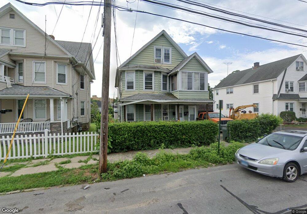
180 Monroe St Unit 182 Bridgeport, CT 06605
Black Rock NeighborhoodEstimated Value: $447,000 - $579,000
5
Beds
3
Baths
2,785
Sq Ft
$188/Sq Ft
Est. Value
About This Home
This home is located at 180 Monroe St Unit 182, Bridgeport, CT 06605 and is currently estimated at $522,244, approximately $187 per square foot. 180 Monroe St Unit 182 is a home located in Fairfield County with nearby schools including Bassick High School, Park City Prep Charter School, and Great Oaks Charter School Bridgeport.
Ownership History
Date
Name
Owned For
Owner Type
Purchase Details
Closed on
Apr 30, 2004
Sold by
Cohall George and Cohall Olive
Bought by
Pesantez Braulio
Current Estimated Value
Home Financials for this Owner
Home Financials are based on the most recent Mortgage that was taken out on this home.
Original Mortgage
$237,975
Interest Rate
7.05%
Create a Home Valuation Report for This Property
The Home Valuation Report is an in-depth analysis detailing your home's value as well as a comparison with similar homes in the area
Home Values in the Area
Average Home Value in this Area
Purchase History
| Date | Buyer | Sale Price | Title Company |
|---|---|---|---|
| Pesantez Braulio | $250,500 | -- | |
| Pesantez Braulio | $250,500 | -- |
Source: Public Records
Mortgage History
| Date | Status | Borrower | Loan Amount |
|---|---|---|---|
| Open | Pesantez Braulio | $225,049 | |
| Closed | Pesantez Braulio | $243,000 | |
| Closed | Pesantez Braulio | $237,975 |
Source: Public Records
Tax History Compared to Growth
Tax History
| Year | Tax Paid | Tax Assessment Tax Assessment Total Assessment is a certain percentage of the fair market value that is determined by local assessors to be the total taxable value of land and additions on the property. | Land | Improvement |
|---|---|---|---|---|
| 2025 | $8,341 | $191,960 | $79,200 | $112,760 |
| 2024 | $8,341 | $191,960 | $79,200 | $112,760 |
| 2023 | $8,341 | $191,960 | $79,200 | $112,760 |
| 2022 | $8,341 | $191,960 | $79,200 | $112,760 |
| 2021 | $8,341 | $191,960 | $79,200 | $112,760 |
| 2020 | $7,191 | $133,190 | $39,990 | $93,200 |
| 2019 | $7,191 | $133,190 | $39,990 | $93,200 |
| 2018 | $7,242 | $133,190 | $39,990 | $93,200 |
| 2017 | $7,242 | $133,190 | $39,990 | $93,200 |
| 2016 | $7,242 | $133,190 | $39,990 | $93,200 |
| 2015 | $7,069 | $167,520 | $41,140 | $126,380 |
| 2014 | $7,069 | $167,520 | $41,140 | $126,380 |
Source: Public Records
Map
Nearby Homes
- 188 Monroe St Unit 190
- 82 Waldorf Ave
- 25 Whittier St
- 31 Whittier St
- 167 Scofield Ave
- 37 Rowsley St Unit 6
- 26 Rowsley St Unit 3
- 554 Brewster St Unit 4
- 855 Brewster St Unit 857
- 317 Brewster St
- 39 Jetland Place Unit 41
- 75 Homestead Ave Unit 77
- 165 Bennett St
- 95 Bedford Ave
- 105 Fox St Unit 107
- 85 Ash St
- 132 Gilman St
- 118 Berwick Ave
- 130 Brentwood Ave
- 145 Brentwood Ave
- 190 Monroe St
- 166 Monroe St
- 168 Monroe St Unit 170
- 187 Monroe St
- 179 Monroe St Unit 181
- 179 Monroe St Unit 3
- 200 Monroe St
- 204 Monroe St Unit 206
- 198 Monroe St
- 158 Monroe St Unit 160
- 138 Monroe St
- 143 Hope St
- 169 Hope St Unit 171
- 169 Hope St Unit 169 Hope Street 3rd
- 169 Hope St Unit 2
- 231 Monroe St
- 137 Hope St
- 105 Hope St
- 134 Monroe St
- 134 Monroe St Unit 2