180 Old Airport Rd Statesville, NC 28677
Estimated Value: $67,209 - $283,000
--
Bed
--
Bath
--
Sq Ft
0.87
Acres
About This Home
This home is located at 180 Old Airport Rd, Statesville, NC 28677 and is currently estimated at $180,736. 180 Old Airport Rd is a home with nearby schools including Celeste Henkel Elementary School, West Iredell Middle School, and West Iredell High School.
Ownership History
Date
Name
Owned For
Owner Type
Purchase Details
Closed on
Jun 2, 2011
Sold by
Elliott James Edwin and Elliott Judy S
Bought by
Elliott Judy S
Current Estimated Value
Home Financials for this Owner
Home Financials are based on the most recent Mortgage that was taken out on this home.
Original Mortgage
$69,600
Interest Rate
3.5%
Mortgage Type
Adjustable Rate Mortgage/ARM
Purchase Details
Closed on
Dec 1, 1989
Purchase Details
Closed on
Jun 1, 1974
Create a Home Valuation Report for This Property
The Home Valuation Report is an in-depth analysis detailing your home's value as well as a comparison with similar homes in the area
Home Values in the Area
Average Home Value in this Area
Purchase History
| Date | Buyer | Sale Price | Title Company |
|---|---|---|---|
| Elliott Judy S | -- | None Available | |
| -- | $54,000 | -- | |
| -- | -- | -- |
Source: Public Records
Mortgage History
| Date | Status | Borrower | Loan Amount |
|---|---|---|---|
| Previous Owner | Elliott Judy S | $69,600 |
Source: Public Records
Tax History Compared to Growth
Tax History
| Year | Tax Paid | Tax Assessment Tax Assessment Total Assessment is a certain percentage of the fair market value that is determined by local assessors to be the total taxable value of land and additions on the property. | Land | Improvement |
|---|---|---|---|---|
| 2024 | $122 | $20,700 | $15,660 | $5,040 |
| 2023 | $122 | $20,700 | $15,660 | $5,040 |
| 2022 | $101 | $16,150 | $10,440 | $5,710 |
| 2021 | $101 | $16,150 | $10,440 | $5,710 |
| 2020 | $101 | $16,150 | $10,440 | $5,710 |
| 2019 | $100 | $16,150 | $10,440 | $5,710 |
| 2018 | $109 | $18,170 | $10,440 | $7,730 |
| 2017 | $109 | $18,170 | $10,440 | $7,730 |
| 2016 | $109 | $18,170 | $10,440 | $7,730 |
| 2015 | $109 | $18,170 | $10,440 | $7,730 |
| 2014 | -- | $16,570 | $7,830 | $8,740 |
Source: Public Records
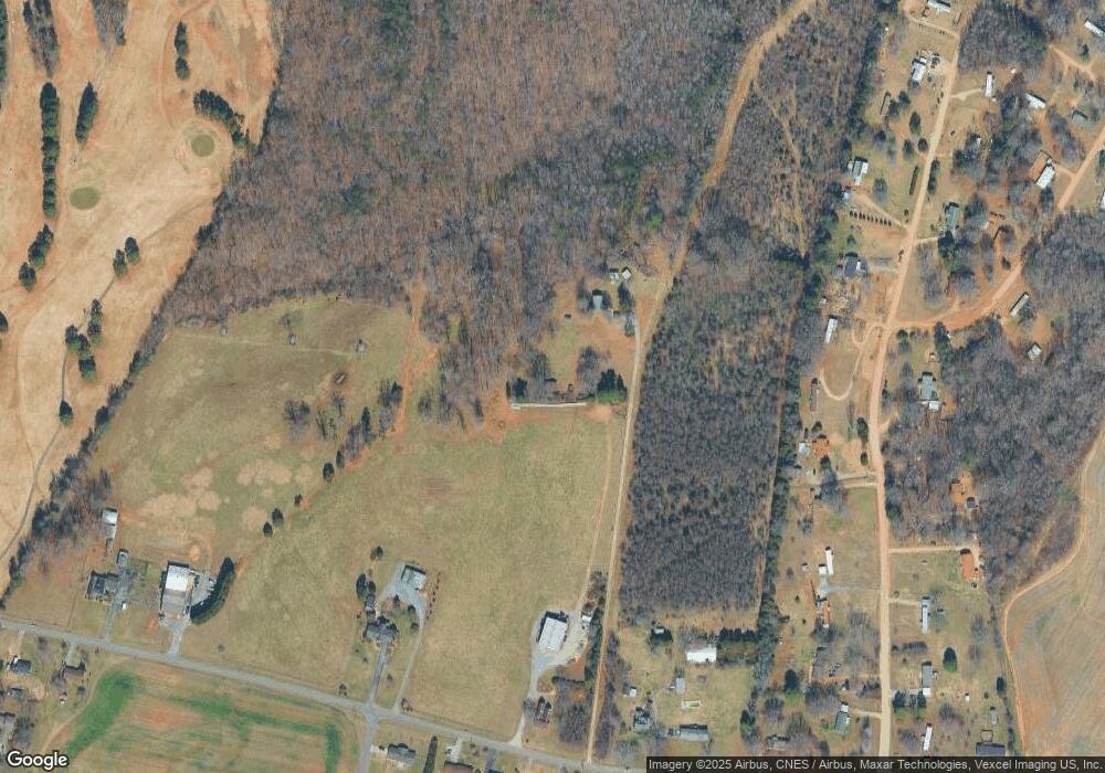
Map
Nearby Homes
- 133 Tower Dr Unit 35
- 1129 Rita Ave
- 1120 Rita Ave
- 1309 Williams Rd
- 178 Old Airport Rd
- 106 Windbluff Ct
- 000 Boomer Ct Unit 4
- 000 Boomer Ct Unit 9
- 000 Boomer Ct Unit 14
- 000 Boomer Ct Unit 10
- 000 Boomer Ct Unit 13
- 000 Boomer Ct Unit 12
- 000 Boomer Ct Unit 1
- 000 Boomer Ct Unit 3
- 000 Boomer Ct Unit 2
- 000 Boomer Ct Unit 5
- 000 Boomer Ct Unit 7
- 000 Boomer Ct Unit 8
- 000 Boomer Ct Unit 6
- 289 Mary Locke Way
- 0000 Airport Rd
- 153 Deerfield Ln
- 161 Deerfield Ln
- 169 Deerfield Ln
- 147 Deerfield Ln
- 181 Deerfield Ln
- 137 Deerfield Ln
- 154 Deerfield Ln
- 131 Deerfield Ln
- 191 Deerfield Ln
- 142 Deerfield Ln
- 178 Deerfield Ln
- 125 Deerfield Ln
- 110 Freeland Cir
- 208 Old Airport Rd
- 197 Deerfield Ln
- 138 Deerfield Ln
- 190 Deerfield Ln
- 125 Freeland Cir
- 174 Old Airport Rd