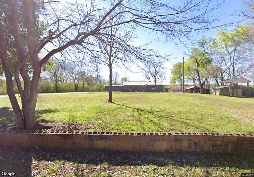
180 Robin Cir White Plains, GA 30678
Estimated Value: $46,000 - $137,000
3
Beds
1
Bath
891
Sq Ft
$104/Sq Ft
Est. Value
About This Home
This home is located at 180 Robin Cir, White Plains, GA 30678 and is currently estimated at $92,471, approximately $103 per square foot. 180 Robin Cir is a home located in Hancock County with nearby schools including Lewis Elementary School, Hancock Central Middle School, and Hancock Central High School.
Ownership History
Date
Name
Owned For
Owner Type
Purchase Details
Closed on
Mar 21, 2016
Sold by
Farmers & Merchants Bank
Bought by
Martin Dave G
Current Estimated Value
Purchase Details
Closed on
Oct 27, 2014
Sold by
Edwards Georgia Ann
Bought by
Barnett James Thomas
Purchase Details
Closed on
May 20, 2006
Sold by
Meadows Martha Jean
Bought by
Barnett James
Purchase Details
Closed on
Dec 30, 2003
Sold by
Edwards Ruth M As Executrix
Bought by
Edwards Ruth M
Create a Home Valuation Report for This Property
The Home Valuation Report is an in-depth analysis detailing your home's value as well as a comparison with similar homes in the area
Home Values in the Area
Average Home Value in this Area
Purchase History
| Date | Buyer | Sale Price | Title Company |
|---|---|---|---|
| Martin Dave G | $17,500 | -- | |
| Barnett James Thomas | -- | -- | |
| Barnett James | -- | -- | |
| Edwards Ruth M | -- | -- |
Source: Public Records
Tax History Compared to Growth
Tax History
| Year | Tax Paid | Tax Assessment Tax Assessment Total Assessment is a certain percentage of the fair market value that is determined by local assessors to be the total taxable value of land and additions on the property. | Land | Improvement |
|---|---|---|---|---|
| 2024 | $459 | $19,538 | $4,688 | $14,850 |
| 2023 | $50 | $19,538 | $4,688 | $14,850 |
| 2022 | $410 | $19,538 | $4,688 | $14,850 |
| 2021 | $411 | $19,538 | $4,688 | $14,850 |
| 2020 | $447 | $19,538 | $4,688 | $14,850 |
| 2019 | $448 | $19,538 | $4,688 | $14,850 |
| 2018 | $610 | $19,538 | $4,688 | $14,850 |
| 2017 | $146 | $4,688 | $4,688 | $0 |
| 2016 | $308 | $9,848 | $4,688 | $5,160 |
| 2015 | -- | $9,848 | $4,688 | $5,160 |
| 2014 | -- | $20,567 | $5,251 | $15,316 |
| 2013 | -- | $20,566 | $5,250 | $15,316 |
Source: Public Records
Map
Nearby Homes
- 0 Briar Rose Unit LOT 58 10468122
- LOT 249 Crosscreek Ln
- 1766 Crawfordville Rd
- 1766 Crawfordville Rd Unit 1766 Crawfordville R
- 0 White Plains Rd Unit 22620714
- 1 Warren Rd
- 0 Jordans Mill Rd Unit 1025580
- 0 Jordans Mill Rd Unit 7609269
- 0 Jordans Mill Rd Unit 52749
- 0 Jordans Mill Rd Unit 10513078
- 0 Jordans Mill Rd Unit 68500
- 2711 Jordans Mill Rd
- 2691 Liberty Church Rd
- 0 McGhee Rd Unit 10453026
- 1830 Fuller Rd
- 1259 Flat Rock Church Rd
- 1851 Fuller Rd
- 1511 White Oak Dr
- 1691 White Oak Dr
- 1953 Flat Rock Church Rd
- 151 Edwards Rd
- 114 Edwards Rd
- 21877 Highway 15
- 405 Edwards Rd
- 22119 Highway 15
- 22194 Highway 15
- 22194 Highway 15
- 22194 Hwy 15
- 22194 Georgia 15
- 22175 Highway 15
- 0 Gumhill Rd Unit LOT5 2737690
- 20130 Hwy 15
- 20130 Highway 15
- 44 Robin Cir
- 20130 Highway 15
- 20130 Highway 15
- 20130 Highway 15
- 1421 Gumhill Rd
- 1075 Edwards Rd
- 1177 Edwards Rd