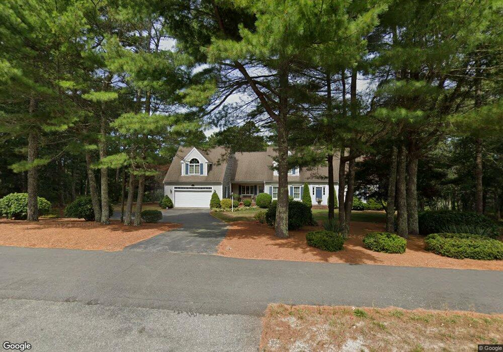
180 Setucket Rd South Dennis, MA 02660
Dennis Village NeighborhoodEstimated Value: $984,000 - $1,491,000
4
Beds
4
Baths
3,271
Sq Ft
$380/Sq Ft
Est. Value
About This Home
This home is located at 180 Setucket Rd, South Dennis, MA 02660 and is currently estimated at $1,243,399, approximately $380 per square foot. 180 Setucket Rd is a home located in Barnstable County with nearby schools including Dennis-Yarmouth Regional High School.
Ownership History
Date
Name
Owned For
Owner Type
Purchase Details
Closed on
Jan 13, 2025
Sold by
Ddl Rt and Witkoski
Bought by
Witkoski Beverly A
Current Estimated Value
Purchase Details
Closed on
Jun 29, 2000
Sold by
Crowell Joshua L and Crowell Joel G
Bought by
Cnj Rt and Witkowski Donald E
Create a Home Valuation Report for This Property
The Home Valuation Report is an in-depth analysis detailing your home's value as well as a comparison with similar homes in the area
Home Values in the Area
Average Home Value in this Area
Purchase History
| Date | Buyer | Sale Price | Title Company |
|---|---|---|---|
| Witkoski Beverly A | -- | None Available | |
| Cnj Rt | $85,000 | -- |
Source: Public Records
Mortgage History
| Date | Status | Borrower | Loan Amount |
|---|---|---|---|
| Previous Owner | Cnj Rt | $285,000 |
Source: Public Records
Tax History Compared to Growth
Tax History
| Year | Tax Paid | Tax Assessment Tax Assessment Total Assessment is a certain percentage of the fair market value that is determined by local assessors to be the total taxable value of land and additions on the property. | Land | Improvement |
|---|---|---|---|---|
| 2025 | $5,235 | $1,209,100 | $243,000 | $966,100 |
| 2024 | $5,158 | $1,174,900 | $243,500 | $931,400 |
| 2023 | $6,118 | $1,310,100 | $221,500 | $1,088,600 |
| 2022 | $5,698 | $1,017,500 | $199,500 | $818,000 |
| 2021 | $4,507 | $843,000 | $172,100 | $670,900 |
| 2020 | $4,487 | $728,700 | $172,100 | $556,600 |
| 2019 | $4,413 | $686,000 | $184,100 | $501,900 |
| 2018 | $4,277 | $674,600 | $189,900 | $484,700 |
| 2017 | $4,149 | $674,600 | $189,900 | $484,700 |
| 2016 | $4,031 | $617,300 | $204,500 | $412,800 |
| 2015 | $3,951 | $617,300 | $204,500 | $412,800 |
| 2014 | $3,837 | $604,300 | $204,500 | $399,800 |
Source: Public Records
Map
Nearby Homes
- 15 Captain Jud Rd
- 32 Captain Walsh Dr
- 52 Uncle Bobs Way
- 153 Bayridge Dr
- 17 Margate Ln
- 4 Ebb Rd
- 13 Covey Dr
- 21 Compass Ln
- 59 Main St Unit 19-2
- 59 Route 6a Unit 29-4
- 15 Trudy Cir
- 10 Joanne Dr
- 59 Massachusetts 6a Unit 19-2
- 268 Main St
- 111 Merchant Ave
- 61 Barque Cir
- 6 Nimble Hill Dr
- 25 Skerry Rd
- 17 Fairmount Rd
- 118 Driftwood Ln