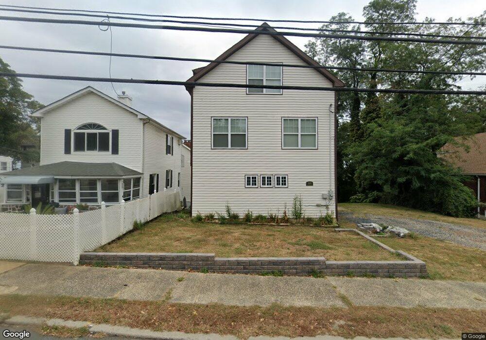
180 State Route 36 Highlands, NJ 07732
Estimated Value: $602,000 - $805,000
1
Bed
1
Bath
1,770
Sq Ft
$399/Sq Ft
Est. Value
About This Home
This home is located at 180 State Route 36, Highlands, NJ 07732 and is currently estimated at $705,876, approximately $398 per square foot. 180 State Route 36 is a home located in Monmouth County with nearby schools including Highlands Elementary School, Henry Hudson Regional School, and Holy Cross School.
Ownership History
Date
Name
Owned For
Owner Type
Purchase Details
Closed on
Jan 13, 2017
Sold by
James Regina Malo
Bought by
Napolitano Michael A and Napolitano Lilibeth D
Current Estimated Value
Home Financials for this Owner
Home Financials are based on the most recent Mortgage that was taken out on this home.
Original Mortgage
$368,742
Outstanding Balance
$306,022
Interest Rate
4.37%
Mortgage Type
FHA
Estimated Equity
$399,854
Purchase Details
Closed on
Jul 6, 1988
Bought by
Malo James and Malo Regina
Create a Home Valuation Report for This Property
The Home Valuation Report is an in-depth analysis detailing your home's value as well as a comparison with similar homes in the area
Home Values in the Area
Average Home Value in this Area
Purchase History
| Date | Buyer | Sale Price | Title Company |
|---|---|---|---|
| Napolitano Michael A | $115,000 | None Available | |
| Malo James | $100,000 | -- |
Source: Public Records
Mortgage History
| Date | Status | Borrower | Loan Amount |
|---|---|---|---|
| Open | Napolitano Michael A | $368,742 |
Source: Public Records
Tax History Compared to Growth
Tax History
| Year | Tax Paid | Tax Assessment Tax Assessment Total Assessment is a certain percentage of the fair market value that is determined by local assessors to be the total taxable value of land and additions on the property. | Land | Improvement |
|---|---|---|---|---|
| 2025 | $8,130 | $576,300 | $313,000 | $263,300 |
| 2024 | $7,705 | $410,600 | $258,000 | $152,600 |
| 2023 | $7,705 | $384,100 | $235,000 | $149,100 |
| 2022 | $6,572 | $294,400 | $152,500 | $141,900 |
| 2021 | $6,572 | $264,900 | $138,700 | $126,200 |
| 2020 | $6,511 | $262,100 | $138,700 | $123,400 |
| 2019 | $4,986 | $176,500 | $138,700 | $37,800 |
| 2018 | $4,853 | $173,200 | $138,700 | $34,500 |
| 2017 | $4,870 | $173,200 | $138,700 | $34,500 |
| 2016 | $4,792 | $173,200 | $138,700 | $34,500 |
| 2015 | $4,816 | $172,300 | $138,700 | $33,600 |
| 2014 | $4,570 | $169,400 | $138,700 | $30,700 |
Source: Public Records
Map
Nearby Homes
- 180 Navesink Ave
- 172 State Route 36
- 63 Valley Ave
- 182 State Route 36
- 172 Navesink Ave Unit 1
- 172 Navesink Ave Unit 2
- 172 Navesink Ave
- 172 Navesink Ave
- 170 State Route 36
- 186 Navesink Ave
- 186 Navesink Ave
- 186 State Route 36
- 184 State Route 36
- 166 State Route 36
- 62 Valley Ave
- 184 Navesink Ave
- 188 Navesink Ave
- 111 Shore Dr
- 188 State Route 36
- 109 Shore Dr