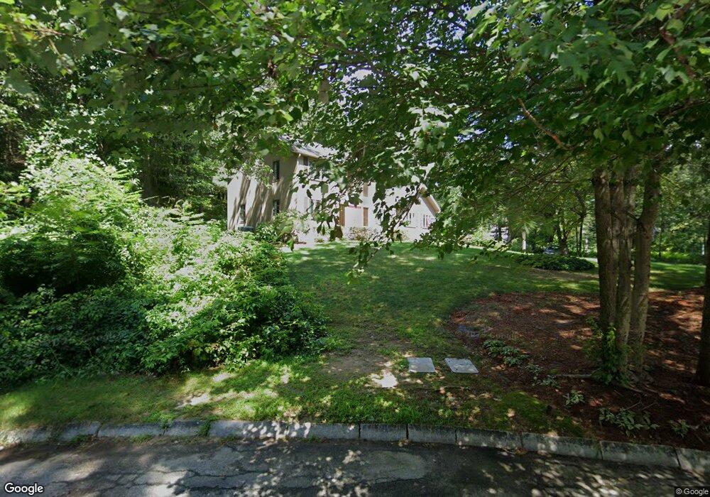
180 Stone Root Ln Concord, MA 01742
Estimated Value: $1,480,000 - $1,815,000
4
Beds
3
Baths
2,960
Sq Ft
$549/Sq Ft
Est. Value
About This Home
This home is located at 180 Stone Root Ln, Concord, MA 01742 and is currently estimated at $1,625,332, approximately $549 per square foot. 180 Stone Root Ln is a home located in Middlesex County with nearby schools including Willard School, Concord Middle School, and Concord Carlisle High School.
Ownership History
Date
Name
Owned For
Owner Type
Purchase Details
Closed on
Dec 11, 2007
Sold by
Centore Patricia A
Bought by
Patricia A Centore T and Centore Patricia A
Current Estimated Value
Create a Home Valuation Report for This Property
The Home Valuation Report is an in-depth analysis detailing your home's value as well as a comparison with similar homes in the area
Home Values in the Area
Average Home Value in this Area
Purchase History
| Date | Buyer | Sale Price | Title Company |
|---|---|---|---|
| Patricia A Centore T | -- | -- |
Source: Public Records
Tax History
| Year | Tax Paid | Tax Assessment Tax Assessment Total Assessment is a certain percentage of the fair market value that is determined by local assessors to be the total taxable value of land and additions on the property. | Land | Improvement |
|---|---|---|---|---|
| 2025 | $191 | $1,442,700 | $633,100 | $809,600 |
| 2024 | $19,201 | $1,462,400 | $633,100 | $829,300 |
| 2023 | $17,951 | $1,385,100 | $595,400 | $789,700 |
| 2022 | $16,753 | $1,135,000 | $476,200 | $658,800 |
| 2021 | $15,340 | $1,042,100 | $407,400 | $634,700 |
| 2020 | $14,944 | $1,050,200 | $407,400 | $642,800 |
| 2019 | $14,243 | $1,003,700 | $395,700 | $608,000 |
| 2018 | $14,234 | $996,100 | $396,400 | $599,700 |
| 2017 | $13,745 | $976,900 | $377,600 | $599,300 |
| 2016 | $13,527 | $971,800 | $377,600 | $594,200 |
| 2015 | $12,762 | $893,100 | $349,600 | $543,500 |
Source: Public Records
Map
Nearby Homes
- 26 Field Rd
- 2 Skyview Ln
- 40 Rookery Ln Unit 5
- 72 Rookery Ln Unit 3
- 42 Dakin Rd
- 401 Emery Ln Unit 304
- 1201 Old Marlboro Rd
- 56 Rookery Ln Unit 4
- 840-1 Old Road to 9 Acre Corner
- 132 Williams Rd
- 1B Quaboag Valley Co-Op St
- Lot 5 Sailaway Ln
- Lot 4 Sailaway Ln
- 2 Betts Way
- 8 Mina Way
- Lot 9 Sailaway Ln
- 35 Mt Alworth Rd
- 4 Betts Way
- 497 Old Road to 9 Acre Corner
- 29 Black Birch Ln Unit 29
- 168 Stone Root Ln
- 196 Stone Root Ln
- 144 Stone Root Ln
- 220 Stone Root Ln
- 201 Stone Root Ln
- 173 Stone Root Ln
- 219 Stone Root Ln
- 153 Stone Root Ln
- 236 Indian Pipe Ln
- 210 Stone Root Ln
- 210 Stone Root Ln Unit 210
- 211 Stone Root Ln
- 137 Stone Root Ln
- 114 Stone Root Ln
- 109 Stone Root Ln
- 204 Indian Pipe Ln
- 96 Stone Root Ln
- 188 Indian Pipe Ln
- 95 Stone Root Ln
- 201 Indian Pipe Ln