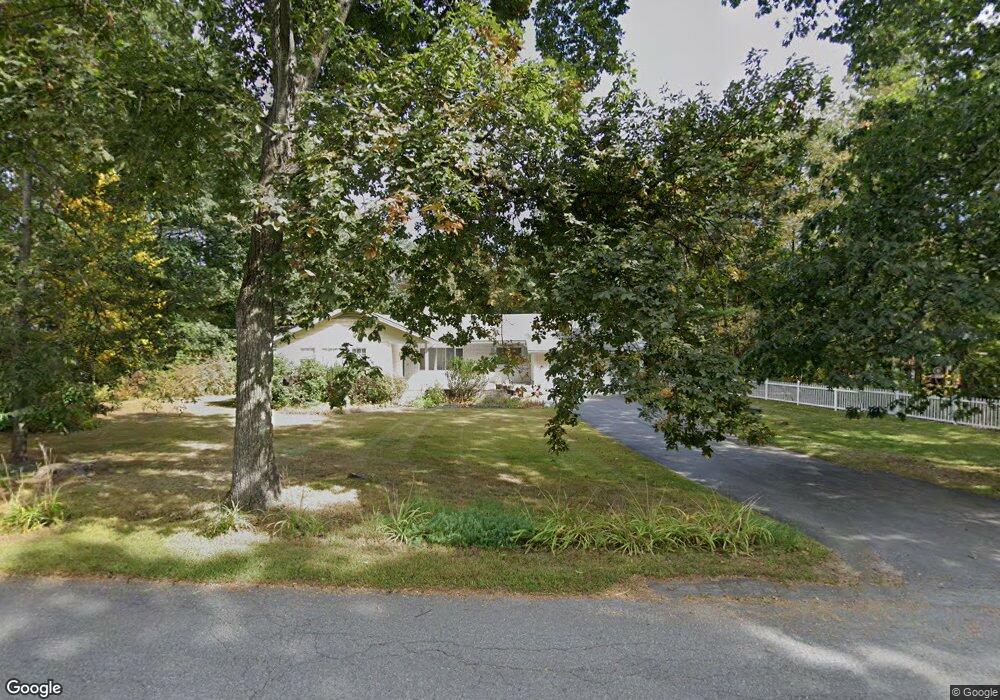
180 Stow Rd Boxborough, MA 01719
Estimated Value: $767,097 - $807,000
3
Beds
3
Baths
1,610
Sq Ft
$490/Sq Ft
Est. Value
About This Home
This home is located at 180 Stow Rd, Boxborough, MA 01719 and is currently estimated at $788,774, approximately $489 per square foot. 180 Stow Rd is a home located in Middlesex County with nearby schools including Acton-Boxborough Regional High School.
Ownership History
Date
Name
Owned For
Owner Type
Purchase Details
Closed on
Jun 5, 2023
Sold by
Soule Marcus J and Soule Jane D
Bought by
Mendonez Alexander J and Mendonez Joy H
Current Estimated Value
Home Financials for this Owner
Home Financials are based on the most recent Mortgage that was taken out on this home.
Original Mortgage
$560,800
Outstanding Balance
$545,804
Interest Rate
6.39%
Mortgage Type
Purchase Money Mortgage
Estimated Equity
$242,970
Create a Home Valuation Report for This Property
The Home Valuation Report is an in-depth analysis detailing your home's value as well as a comparison with similar homes in the area
Home Values in the Area
Average Home Value in this Area
Purchase History
| Date | Buyer | Sale Price | Title Company |
|---|---|---|---|
| Mendonez Alexander J | $701,000 | None Available | |
| Mendonez Alexander J | $701,000 | None Available | |
| Mendonez Alexander J | $701,000 | None Available |
Source: Public Records
Mortgage History
| Date | Status | Borrower | Loan Amount |
|---|---|---|---|
| Open | Mendonez Alexander J | $560,800 | |
| Closed | Mendonez Alexander J | $560,800 |
Source: Public Records
Tax History
| Year | Tax Paid | Tax Assessment Tax Assessment Total Assessment is a certain percentage of the fair market value that is determined by local assessors to be the total taxable value of land and additions on the property. | Land | Improvement |
|---|---|---|---|---|
| 2025 | $10,310 | $681,000 | $283,500 | $397,500 |
| 2024 | $10,571 | $705,200 | $272,000 | $433,200 |
| 2023 | $10,515 | $677,500 | $233,700 | $443,800 |
| 2022 | $10,144 | $582,300 | $233,700 | $348,600 |
| 2020 | $8,355 | $499,700 | $233,700 | $266,000 |
| 2019 | $8,205 | $499,700 | $233,700 | $266,000 |
| 2018 | $4,849 | $485,800 | $222,800 | $263,000 |
| 2017 | $7,460 | $443,800 | $222,800 | $221,000 |
| 2016 | $7,269 | $444,300 | $222,800 | $221,500 |
| 2015 | $7,164 | $430,300 | $200,600 | $229,700 |
| 2014 | $6,938 | $392,200 | $194,700 | $197,500 |
Source: Public Records
Map
Nearby Homes
- 77 Wheeler Dr Unit 77
- 20 Lyons Ln Unit 20
- 40 Fifers Ln
- 79 Old Orchard Ln
- 280 W Acton Rd
- 959 Hill Rd
- 53 Swanson Ct Unit 24C
- 92 Willow St Unit 3
- 92 Willow St Unit 2
- 90 Willow St Unit 1
- 50 Spencer Rd Unit 12L
- 247 W Acton Rd
- 15 Spencer Rd Unit 12E
- 220 Swanson Rd Unit 605
- 220 Swanson Rd Unit 606
- 220 Swanson Rd Unit 604
- 276 Codman Hill Rd Unit 36A
- 4 Littlefield Rd
- 310 Codman Hill Rd Unit 35D
- 235 Arlington St
Your Personal Tour Guide
Ask me questions while you tour the home.