Estimated Value: $237,000 - $391,000
--
Bed
--
Bath
2,096
Sq Ft
$136/Sq Ft
Est. Value
About This Home
This home is located at 180 W Sierra Dr, Many, LA 71449 and is currently estimated at $285,908, approximately $136 per square foot. 180 W Sierra Dr is a home located in Sabine Parish with nearby schools including Many Junior High School and Many High School.
Ownership History
Date
Name
Owned For
Owner Type
Purchase Details
Closed on
May 27, 2014
Sold by
Bynog Roger Lynn and Bynog Crystal Roxann Barrett
Bought by
Sepulvado Dustin Richard and Sepulvado Krystle Ann
Current Estimated Value
Home Financials for this Owner
Home Financials are based on the most recent Mortgage that was taken out on this home.
Original Mortgage
$186,558
Outstanding Balance
$142,697
Interest Rate
4.35%
Mortgage Type
FHA
Estimated Equity
$143,211
Purchase Details
Closed on
Feb 25, 2010
Sold by
Bynog Roger Lynn and Bynog Barbara Ann Lacour
Bought by
Bynog Roger Lynn and Bynog Crystal Roxann Barrett
Create a Home Valuation Report for This Property
The Home Valuation Report is an in-depth analysis detailing your home's value as well as a comparison with similar homes in the area
Home Values in the Area
Average Home Value in this Area
Purchase History
| Date | Buyer | Sale Price | Title Company |
|---|---|---|---|
| Sepulvado Dustin Richard | $190,000 | None Available | |
| Bynog Roger Lynn | $133,000 | United Title Of La Inc |
Source: Public Records
Mortgage History
| Date | Status | Borrower | Loan Amount |
|---|---|---|---|
| Open | Sepulvado Dustin Richard | $186,558 |
Source: Public Records
Tax History Compared to Growth
Tax History
| Year | Tax Paid | Tax Assessment Tax Assessment Total Assessment is a certain percentage of the fair market value that is determined by local assessors to be the total taxable value of land and additions on the property. | Land | Improvement |
|---|---|---|---|---|
| 2024 | $912 | $19,360 | $1,300 | $18,060 |
| 2023 | $755 | $17,467 | $1,100 | $16,367 |
| 2022 | $1,465 | $17,467 | $1,100 | $16,367 |
| 2021 | $1,575 | $17,467 | $1,100 | $16,367 |
| 2020 | $1,711 | $17,467 | $1,100 | $16,367 |
| 2019 | $1,656 | $17,466 | $1,099 | $16,367 |
| 2018 | $1,489 | $14,919 | $319 | $14,600 |
| 2017 | $1,483 | $14,919 | $319 | $14,600 |
| 2016 | $1,474 | $14,919 | $319 | $14,600 |
| 2015 | $720 | $14,916 | $316 | $14,600 |
| 2014 | $721 | $14,920 | $316 | $14,604 |
Source: Public Records
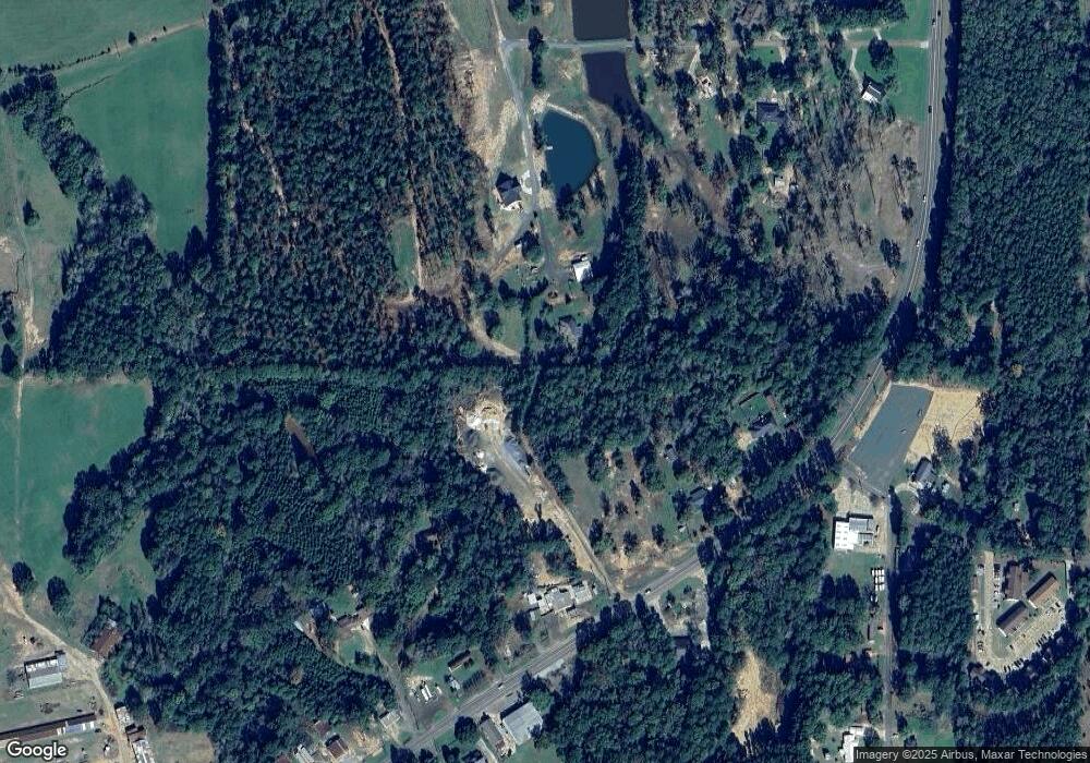
Map
Nearby Homes
- 000 Texas Hwy
- 0 Texas Hwy Unit 11330283
- 0 Texas Hwy Unit 11438353
- 0 Texas Hwy Unit 11438355
- 825 Shreveport Hwy
- 825 Shreveport Hwy Unit 8 & 9 Blk 14
- 695 San Antonio Ave
- 00 Chasin Fin Dr Unit 5
- 135 Jarred Ln Unit 27
- 00 Chasin Fin Dr Unit 2
- 00 Chasin Fin Dr Unit 4
- 00 Chasin Fin Dr Unit 7
- 0 Chasin Fin Dr Unit 1 11419405
- 0 Vicky Ln Unit 11227108
- 000 Hwy 171 S
- 000TBD Highway 171
- 25500 Highway 171
- 120 Fisher Rd
- TBD Route 6
- 1220 San Antonio Ave