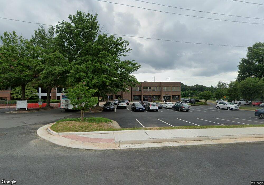
1800 Michael Faraday Dr Unit 201 Reston, VA 20190
Tall Oaks/Uplands NeighborhoodEstimated Value: $1,409,425
Studio
1
Bath
1,134
Sq Ft
$1,243/Sq Ft
Est. Value
About This Home
This home is located at 1800 Michael Faraday Dr Unit 201, Reston, VA 20190 and is currently estimated at $1,409,425, approximately $1,242 per square foot. 1800 Michael Faraday Dr Unit 201 is a home located in Fairfax County with nearby schools including Sunrise Valley Elementary, Langston Hughes Middle School, and South Lakes High School.
Ownership History
Date
Name
Owned For
Owner Type
Purchase Details
Closed on
Jan 29, 2015
Sold by
Tsou Victor T
Bought by
Tsou Victor T
Current Estimated Value
Purchase Details
Closed on
Sep 22, 1997
Sold by
Associated Proffessional Lp
Bought by
May Way Corp
Home Financials for this Owner
Home Financials are based on the most recent Mortgage that was taken out on this home.
Original Mortgage
$245,000
Interest Rate
7.38%
Mortgage Type
Commercial
Create a Home Valuation Report for This Property
The Home Valuation Report is an in-depth analysis detailing your home's value as well as a comparison with similar homes in the area
Home Values in the Area
Average Home Value in this Area
Purchase History
| Date | Buyer | Sale Price | Title Company |
|---|---|---|---|
| Tsou Victor T | -- | -- | |
| Tsou Victor T | -- | -- | |
| May Way Corp | $350,000 | -- |
Source: Public Records
Mortgage History
| Date | Status | Borrower | Loan Amount |
|---|---|---|---|
| Previous Owner | May Way Corp | $245,000 |
Source: Public Records
Tax History
| Year | Tax Paid | Tax Assessment Tax Assessment Total Assessment is a certain percentage of the fair market value that is determined by local assessors to be the total taxable value of land and additions on the property. | Land | Improvement |
|---|---|---|---|---|
| 2025 | $6,293 | $422,980 | $84,600 | $338,380 |
| 2023 | $6,162 | $436,590 | $87,320 | $349,270 |
| 2022 | $6,228 | $436,590 | $87,320 | $349,270 |
| 2021 | $6,029 | $413,910 | $82,780 | $331,130 |
| 2020 | $6,070 | $413,910 | $82,780 | $331,130 |
| 2019 | $6,153 | $413,910 | $82,780 | $331,130 |
| 2018 | $3,912 | $340,200 | $68,040 | $272,160 |
| 2017 | $5,045 | $340,200 | $68,040 | $272,160 |
| 2016 | $4,560 | $303,910 | $60,780 | $243,130 |
Source: Public Records
Map
Nearby Homes
- 11226 Beaker St
- 11200 Reston Station Blvd Unit 208
- 11236 Faraday Park Dr
- 1878 Easterly Rd
- 1820 Reston Row Plaza Unit 1604
- 11308 Geddys Ct
- 2006 Headlands Cir
- 2005 Wethersfield Ct
- 1926 Lakeport Way
- 11123 Lakespray Way
- 1953 Lakeport Way
- 1738 Dressage Dr
- 10900 Sunset Hills Rd
- 1951 Sagewood Ln Unit 619
- 10904 Equestrian Ct
- 11240 Harbor Ct Unit 11240
- 1669 Bandit Loop Unit 109A
- 1669 Bandit Loop Unit 301A
- 1838 Golf View Ct
- 1694 Bandit Loop Unit 17B
- 1800 Michael Faraday Dr Unit 5
- 1800 Michael Faraday Dr
- 1800 Michael Faraday Dr Unit 8
- 1810 Michael Faraday Dr Unit 11
- 1810 Michael Faraday Dr Unit 204
- 1810 Michael Faraday Dr Unit 14
- 11260 Bunsen St
- 11256 Bunsen St
- 11252 Bunsen St
- 1820 Michael Faraday Dr Unit 19
- 1820 Michael Faraday Dr Unit 21
- 1820 Michael Faraday Dr Unit 22
- 1820 Michael Faraday Dr Unit 2ND FLOOR
- 1820 Michael Faraday Dr Unit 1ST FLOOR
- 1820 Michael Faraday Dr Unit 20
- 1840 Michael Faraday Dr
- 1830 Michael Faraday Dr
- 11236 Bunsen St
- 11238 Bunsen St
- 11232 Bunsen St
Your Personal Tour Guide
Ask me questions while you tour the home.