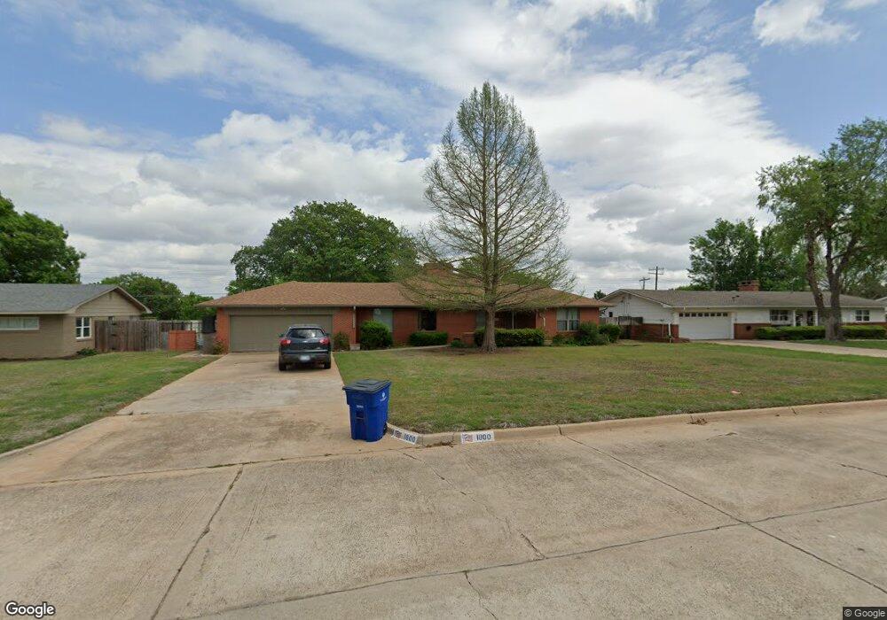
1800 Northridge Dr Duncan, OK 73533
Estimated Value: $212,000 - $249,000
2
Beds
2
Baths
2,411
Sq Ft
$94/Sq Ft
Est. Value
About This Home
This home is located at 1800 Northridge Dr, Duncan, OK 73533 and is currently estimated at $226,944, approximately $94 per square foot. 1800 Northridge Dr is a home with nearby schools including Plato Elementary School, Duncan Middle School, and Duncan High School.
Ownership History
Date
Name
Owned For
Owner Type
Purchase Details
Closed on
Nov 16, 2012
Sold by
Mack Oil Co
Bought by
Hatcher Wayne L and Hatcher Sharon K
Current Estimated Value
Home Financials for this Owner
Home Financials are based on the most recent Mortgage that was taken out on this home.
Original Mortgage
$108,000
Outstanding Balance
$74,504
Interest Rate
3.43%
Mortgage Type
New Conventional
Estimated Equity
$152,440
Purchase Details
Closed on
Sep 10, 1992
Sold by
Maurer Mary Frances
Create a Home Valuation Report for This Property
The Home Valuation Report is an in-depth analysis detailing your home's value as well as a comparison with similar homes in the area
Home Values in the Area
Average Home Value in this Area
Purchase History
| Date | Buyer | Sale Price | Title Company |
|---|---|---|---|
| Hatcher Wayne L | $135,000 | None Available | |
| -- | $91,000 | -- |
Source: Public Records
Mortgage History
| Date | Status | Borrower | Loan Amount |
|---|---|---|---|
| Open | Hatcher Wayne L | $108,000 |
Source: Public Records
Tax History Compared to Growth
Tax History
| Year | Tax Paid | Tax Assessment Tax Assessment Total Assessment is a certain percentage of the fair market value that is determined by local assessors to be the total taxable value of land and additions on the property. | Land | Improvement |
|---|---|---|---|---|
| 2025 | $1,374 | $17,285 | $1,667 | $15,618 |
| 2024 | $1,389 | $17,304 | $1,667 | $15,637 |
| 2023 | $1,389 | $17,304 | $1,667 | $15,637 |
| 2022 | $1,260 | $16,292 | $1,667 | $14,625 |
| 2021 | $1,222 | $15,357 | $1,667 | $13,690 |
| 2020 | $1,240 | $15,357 | $1,667 | $13,690 |
| 2019 | $1,204 | $14,916 | $1,667 | $13,249 |
| 2018 | $1,239 | $14,916 | $1,667 | $13,249 |
| 2017 | $1,228 | $15,753 | $1,667 | $14,086 |
| 2016 | $1,262 | $14,849 | $1,667 | $13,182 |
| 2015 | $1,153 | $14,849 | $1,667 | $13,182 |
| 2014 | $1,153 | $14,849 | $1,667 | $13,182 |
Source: Public Records
Map
Nearby Homes
- 1606 Northridge Dr
- 807 Columbus Place
- 0 Townsend St
- 1107 W Elk Ave
- 3495 N 5th St
- 2106 Carolin Dr
- 1800 N 5th St
- 1527 1527 N 13th
- 3344 3344 N 5th
- 1412 N 12th St
- 1508 N 13th St
- 1601 1601 Pearl
- 2110 W Club Rd
- 1312 Mccasland Pkwy
- 1404 1404 Ne Aspen
- 1405 Evergreen Dr
- 1402 1402 W Elk Ave
- 2201 W Club Rd
- 1108 W Plato Rd Unit 29
- 1108 W Plato Rd Unit 1
- 1708 Northridge Dr
- 1802 Northridge Dr
- 1804 1804 Northridge
- 1804 Northridge Dr
- 1706 Northridge Dr
- 902 Westgate Rd
- 901 Westgate Rd
- 1705 Northridge Dr
- 1704 Northridge Dr
- 1806 Northridge Dr
- 902 Parkway Dr
- 904 Westgate Rd
- 905 Westgate Rd
- 1703 Northridge Dr
- 1808 Northridge Dr
- 906 Westgate Rd
- 292697 E 1750 Rd
- 273020 E 1730 Rd
- 1702 Northridge Dr
- 904 Parkway Dr