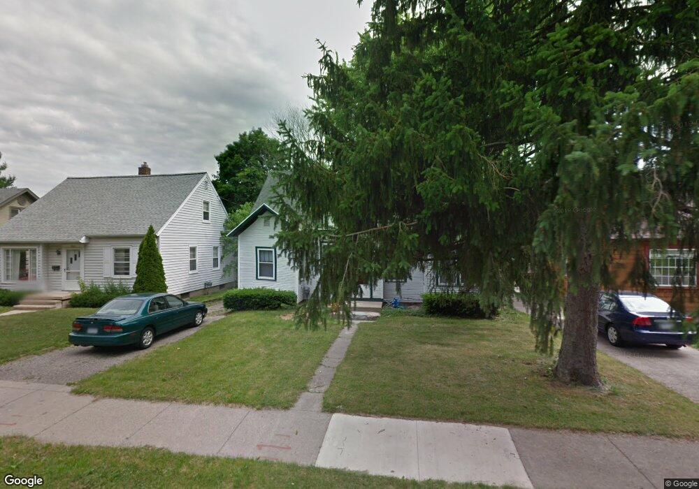
1800 Osborn Rd Unit 1 Lansing, MI 48915
Westside NeighborhoodEstimated Value: $140,000 - $176,000
--
Bed
1
Bath
1,511
Sq Ft
$102/Sq Ft
Est. Value
About This Home
This home is located at 1800 Osborn Rd Unit 1, Lansing, MI 48915 and is currently estimated at $153,409, approximately $101 per square foot. 1800 Osborn Rd Unit 1 is a home located in Ingham County with nearby schools including Riddle Elementary School, Pattengill Academy, and J.W. Sexton High School.
Ownership History
Date
Name
Owned For
Owner Type
Purchase Details
Closed on
Dec 22, 2003
Sold by
Dickinson Kristie L
Bought by
Carter L Susan and Koenigsberg Jonathon D
Current Estimated Value
Home Financials for this Owner
Home Financials are based on the most recent Mortgage that was taken out on this home.
Original Mortgage
$92,700
Outstanding Balance
$43,555
Interest Rate
6.08%
Mortgage Type
Purchase Money Mortgage
Estimated Equity
$109,854
Purchase Details
Closed on
Apr 9, 2001
Sold by
Martin Steven G
Bought by
Dickinson Kristie L
Home Financials for this Owner
Home Financials are based on the most recent Mortgage that was taken out on this home.
Original Mortgage
$58,050
Interest Rate
7.03%
Mortgage Type
Purchase Money Mortgage
Create a Home Valuation Report for This Property
The Home Valuation Report is an in-depth analysis detailing your home's value as well as a comparison with similar homes in the area
Home Values in the Area
Average Home Value in this Area
Purchase History
| Date | Buyer | Sale Price | Title Company |
|---|---|---|---|
| Carter L Susan | $103,000 | Transnation Title | |
| Dickinson Kristie L | $64,500 | -- |
Source: Public Records
Mortgage History
| Date | Status | Borrower | Loan Amount |
|---|---|---|---|
| Open | Carter L Susan | $92,700 | |
| Previous Owner | Dickinson Kristie L | $58,050 |
Source: Public Records
Tax History Compared to Growth
Tax History
| Year | Tax Paid | Tax Assessment Tax Assessment Total Assessment is a certain percentage of the fair market value that is determined by local assessors to be the total taxable value of land and additions on the property. | Land | Improvement |
|---|---|---|---|---|
| 2025 | $3,635 | $69,100 | $6,400 | $62,700 |
| 2024 | $29 | $63,000 | $6,400 | $56,600 |
| 2023 | $3,424 | $59,400 | $6,400 | $53,000 |
| 2022 | $3,133 | $56,300 | $7,800 | $48,500 |
| 2021 | $3,061 | $52,800 | $7,500 | $45,300 |
| 2020 | $3,038 | $47,700 | $7,500 | $40,200 |
| 2019 | $2,931 | $41,900 | $7,500 | $34,400 |
| 2018 | $2,783 | $39,600 | $7,500 | $32,100 |
| 2017 | $2,677 | $39,600 | $7,500 | $32,100 |
| 2016 | $2,570 | $36,300 | $7,500 | $28,800 |
| 2015 | $2,570 | $33,800 | $15,000 | $18,800 |
| 2014 | $2,570 | $33,100 | $18,000 | $15,100 |
Source: Public Records
Map
Nearby Homes
- 1812 S Genesee Dr
- 2009 Drexel Rd
- 1528 W Shiawassee St
- 425 N Jenison Ave
- 314 Memphis St
- 518 N Jenison Ave
- 1632 Inverness Ave
- 1313 S Genesee Dr
- 821 N Verlinden Ave
- 751 Westmoreland Ave
- 1804 W Michigan Ave
- 819 N Jenison Ave
- 910 Durant St
- 1229 W Saginaw St
- 1225 W Saginaw St
- 1314 W Ottawa St
- 1221 W Saginaw St
- 1217 W Saginaw St
- 914 Stanley St
- 1319 W Michigan Ave
- 1720 Osborn Rd
- 1806 Osborn Rd
- 1718 Osborn Rd
- 1801 Drexel Rd
- 1805 Drexel Rd
- 1810 Osborn Rd
- 1721 Drexel Rd
- 1813 Drexel Rd
- 1717 Drexel Rd
- 1817 Drexel Rd
- 1801 Osborn Rd
- 1710 Osborn Rd
- 1809 Osborn Rd
- 1715 Drexel Rd
- 1818 Osborn Rd
- 1813 Osborn Rd
- 1821 Drexel Rd
- 1713 Osborn Rd
- 1706 Osborn Rd
- 518 N Verlinden Ave