1800 Post Ave West Bloomfield, MI 48324
Estimated Value: $337,000 - $383,000
3
Beds
2
Baths
1,280
Sq Ft
$286/Sq Ft
Est. Value
About This Home
This home is located at 1800 Post Ave, West Bloomfield, MI 48324 and is currently estimated at $366,363, approximately $286 per square foot. 1800 Post Ave is a home located in Oakland County with nearby schools including Waterford Montessori Academy, Our Lady Of Refuge School, and Lakecrest Baptist School.
Ownership History
Date
Name
Owned For
Owner Type
Purchase Details
Closed on
Sep 4, 2007
Sold by
Gallerini Greg A and Gallerini Kelly M
Bought by
The Ctt Group Consumer Finance Inc
Current Estimated Value
Purchase Details
Closed on
Sep 8, 1997
Sold by
Erickson Kenneth B
Bought by
Baturoni Alicia M
Create a Home Valuation Report for This Property
The Home Valuation Report is an in-depth analysis detailing your home's value as well as a comparison with similar homes in the area
Home Values in the Area
Average Home Value in this Area
Purchase History
| Date | Buyer | Sale Price | Title Company |
|---|---|---|---|
| The Ctt Group Consumer Finance Inc | $240,443 | None Available | |
| Baturoni Alicia M | $89,700 | -- |
Source: Public Records
Tax History Compared to Growth
Tax History
| Year | Tax Paid | Tax Assessment Tax Assessment Total Assessment is a certain percentage of the fair market value that is determined by local assessors to be the total taxable value of land and additions on the property. | Land | Improvement |
|---|---|---|---|---|
| 2024 | $2,028 | $143,290 | $0 | $0 |
| 2022 | $1,941 | $114,930 | $32,280 | $82,650 |
| 2021 | $2,950 | $107,810 | $0 | $0 |
| 2020 | $1,903 | $105,960 | $32,280 | $73,680 |
| 2018 | $2,845 | $91,100 | $29,750 | $61,350 |
| 2015 | -- | $79,380 | $0 | $0 |
| 2014 | -- | $72,300 | $0 | $0 |
| 2011 | -- | $65,680 | $0 | $0 |
Source: Public Records
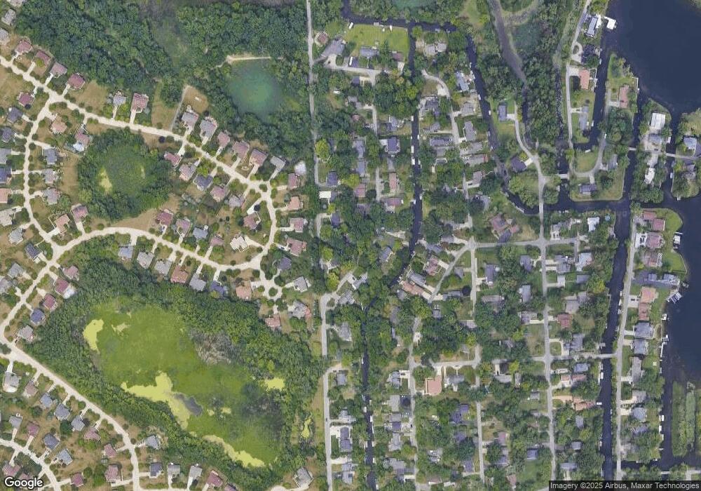
Map
Nearby Homes
- 1677 Parkview Ave
- 2115 Aldwin Dr
- 1522 Oregon Ct
- 5145 Greer Rd
- 5149 Latimer St
- 1753 Dawncrest Dr
- 1859 Poppleton Dr
- 1844 Poppleton Dr
- 00000 Muskingum
- 1265 Oregon Blvd
- 2110 Peachtree Ct
- 4796 Dow Ridge Rd
- 1036 Pelham Blvd
- 4764 Dow Ridge Rd
- 5094 Coshocton Dr
- 4098 Parkway
- 4773 Chipman Dr
- 5699 Applegrove Dr
- 4041 Chenlot Ln
- 4616 Cass Elizabeth Rd
- 1735 Rosedale St Unit Bldg-Unit
- 1735 Rosedale St
- 1755 Rosedale St
- 1760 Post Ave
- 1795 Post Ave
- 1809 Post Ave
- 1715 Rosedale St
- 4995 Cherry Blossom Cir
- 4999 Cherry Blossom Cir
- 1779 Post Ave Unit Bldg-Unit
- 1779 Post Ave
- 4987 Arbor Ct
- 1740 Post Ave
- 1819 Post Ave
- 1761 Post Ave
- 4991 Cherry Blossom Cir
- 5003 Cherry Blossom Cir
- 1695 Rosedale St
- 1712 Post Ave
- 1860 Allendale Ave