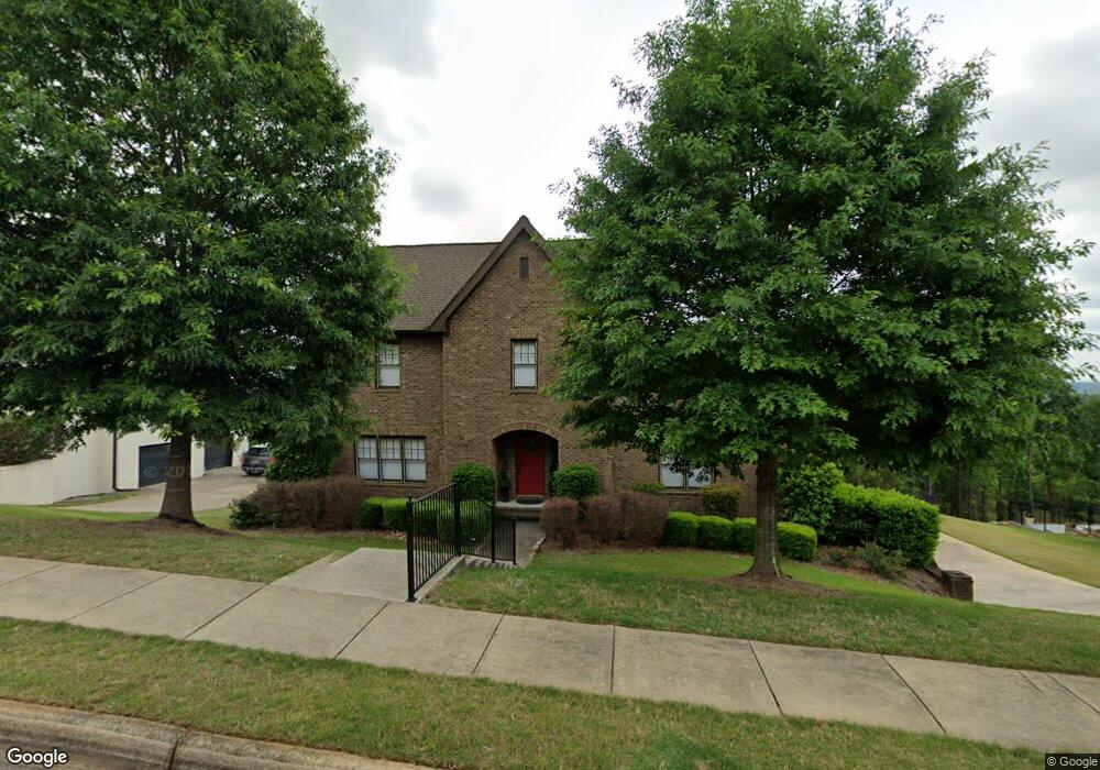
1800 Southpointe Dr Unit 29 Hoover, AL 35244
Estimated Value: $731,000 - $742,000
4
Beds
4
Baths
4,024
Sq Ft
$184/Sq Ft
Est. Value
About This Home
This home is located at 1800 Southpointe Dr Unit 29, Hoover, AL 35244 and is currently estimated at $738,922, approximately $183 per square foot. 1800 Southpointe Dr Unit 29 is a home located in Shelby County with nearby schools including South Shades Crest Elementary School, Brock's Gap Intermediate School, and Robert F. Bumpus Middle School.
Ownership History
Date
Name
Owned For
Owner Type
Purchase Details
Closed on
Jul 17, 2020
Sold by
Stanton John L and Stanton Alisha K
Bought by
Rostas John Martin and Rostas Susan
Current Estimated Value
Home Financials for this Owner
Home Financials are based on the most recent Mortgage that was taken out on this home.
Original Mortgage
$372,000
Outstanding Balance
$329,865
Interest Rate
3.1%
Mortgage Type
New Conventional
Estimated Equity
$409,057
Purchase Details
Closed on
Sep 19, 2012
Sold by
Nsh Corp
Bought by
Stanton John L and Stanton Alisha K
Home Financials for this Owner
Home Financials are based on the most recent Mortgage that was taken out on this home.
Original Mortgage
$389,416
Interest Rate
3.63%
Mortgage Type
New Conventional
Create a Home Valuation Report for This Property
The Home Valuation Report is an in-depth analysis detailing your home's value as well as a comparison with similar homes in the area
Home Values in the Area
Average Home Value in this Area
Purchase History
| Date | Buyer | Sale Price | Title Company |
|---|---|---|---|
| Rostas John Martin | $465,000 | None Available | |
| Stanton John L | $409,912 | None Available |
Source: Public Records
Mortgage History
| Date | Status | Borrower | Loan Amount |
|---|---|---|---|
| Open | Rostas John Martin | $372,000 | |
| Previous Owner | Stanton John L | $389,416 |
Source: Public Records
Tax History Compared to Growth
Tax History
| Year | Tax Paid | Tax Assessment Tax Assessment Total Assessment is a certain percentage of the fair market value that is determined by local assessors to be the total taxable value of land and additions on the property. | Land | Improvement |
|---|---|---|---|---|
| 2024 | $4,019 | $60,440 | $0 | $0 |
| 2023 | $3,653 | $55,400 | $0 | $0 |
| 2022 | $3,259 | $49,620 | $0 | $0 |
| 2021 | $3,058 | $46,600 | $0 | $0 |
| 2020 | $3,135 | $0 | $0 | $0 |
| 2019 | $3,038 | $46,300 | $0 | $0 |
| 2017 | $2,864 | $43,680 | $0 | $0 |
| 2015 | $2,727 | $41,620 | $0 | $0 |
| 2014 | $2,659 | $40,600 | $0 | $0 |
Source: Public Records
Map
Nearby Homes
- 1800 Southpointe Dr
- 1776 Southpointe Dr Unit 35
- 3600 Burnham Place
- 3608 Burnham Place
- 3505 Blackridge Cir
- 3495 Blackridge Cir
- 3501 Blackridge Cir
- 3456 Blackridge Cir
- 3441 Blackridge Cir
- 4100 S Shades Crest Rd
- 1234 Blackridge Cir
- 0222 Blackridge Cir
- 0004 Blackridge Cir
- 0006 Blackridge Cir
- 0001 Blackridge Cir
- 0002 Blackridge Cir
- 0005 Blackridge Cir
- 003 Blackridge Cir
- 3446 Blackridge Cir
- 3478 Blackridge Cir
- 1796 Southpointe Dr Unit 30
- 1796 Southpointe Dr
- 1804 Southpointe Dr Unit 28
- 1804 Southpointe Dr
- 1799 Southpointe Dr Unit 17
- 1799 Southpointe Dr
- 1795 Southpointe Dr
- 1792 Southpointe Dr Unit 31
- 1792 Southpointe Dr
- 1808 Southpointe Dr Unit 27
- 1808 Southpointe Dr
- 1807 Southpointe Dr
- 1803 Southpointe Dr
- 1791 Southpointe Dr
- 1788 Southpointe Dr
- 1784 Southpointe Dr Unit 33
- 1784 Southpointe Dr
- 1812 Southpointe Dr
- 1815 Southpointe Dr
- 1787 Southpointe Dr Unit 14