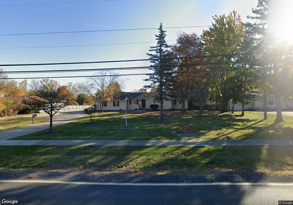
18005 Howe Rd Strongsville, OH 44136
Estimated Value: $370,191
4
Beds
3
Baths
3,969
Sq Ft
$93/Sq Ft
Est. Value
About This Home
This home is located at 18005 Howe Rd, Strongsville, OH 44136 and is currently priced at $370,191, approximately $93 per square foot. 18005 Howe Rd is a home with nearby schools including Strongsville High School.
Ownership History
Date
Name
Owned For
Owner Type
Purchase Details
Closed on
Dec 20, 2019
Sold by
Disabilities Developmental
Bought by
Gary A Toth Family Llc
Current Estimated Value
Purchase Details
Closed on
May 1, 2018
Sold by
North Coast Community Homes Inc
Bought by
Cuyahoga County Board Of Development Dis
Purchase Details
Closed on
Aug 11, 1995
Sold by
Rachid David
Bought by
North Coast Community Homes Inc
Purchase Details
Closed on
Jul 26, 1988
Sold by
Hanning Helen C
Bought by
Rachid David
Purchase Details
Closed on
May 1, 1986
Sold by
Conant Edwin L
Bought by
Hanning Helen C
Purchase Details
Closed on
Feb 26, 1982
Sold by
Conant Edwin L and Conant Emma B
Bought by
Conant Edwin L
Purchase Details
Closed on
Jan 1, 1975
Bought by
Conant Edwin L and Conant Emma B
Create a Home Valuation Report for This Property
The Home Valuation Report is an in-depth analysis detailing your home's value as well as a comparison with similar homes in the area
Home Values in the Area
Average Home Value in this Area
Purchase History
| Date | Buyer | Sale Price | Title Company |
|---|---|---|---|
| Gary A Toth Family Llc | -- | None Available | |
| Cuyahoga County Board Of Development Dis | $4,388 | Erie Title Agency | |
| North Coast Community Homes Inc | $126,000 | -- | |
| Rachid David | $86,000 | -- | |
| Hanning Helen C | -- | -- | |
| Conant Edwin L | -- | -- | |
| Conant Edwin L | -- | -- |
Source: Public Records
Tax History Compared to Growth
Tax History
| Year | Tax Paid | Tax Assessment Tax Assessment Total Assessment is a certain percentage of the fair market value that is determined by local assessors to be the total taxable value of land and additions on the property. | Land | Improvement |
|---|---|---|---|---|
| 2024 | $13,546 | $188,720 | $46,025 | $142,695 |
| 2023 | $11,651 | $142,600 | $21,320 | $121,280 |
| 2022 | $9,057 | $142,590 | $21,320 | $121,280 |
| 2021 | $8,993 | $142,590 | $21,320 | $121,280 |
| 2020 | $0 | $142,590 | $21,320 | $121,280 |
| 2019 | $0 | $407,400 | $60,900 | $346,500 |
| 2018 | $0 | $142,590 | $21,320 | $121,280 |
| 2017 | $0 | $0 | $0 | $0 |
| 2016 | $0 | $0 | $0 | $0 |
| 2015 | -- | $0 | $0 | $0 |
| 2014 | -- | $0 | $0 | $0 |
Source: Public Records
Map
Nearby Homes
- 17130 Golden Star Dr
- 18229 Howe Rd
- 16486 S Red Rock Dr
- 17159 Turkey Meadow Ln
- 16650 Lanier Ave
- 16711 Beech Cir
- 14558 Drake Rd
- 18987 Laurell Cir
- 14985 Camden Cir
- 16450 Howe Rd
- 19694 Benbow Rd
- 14132 Walking Stick Way
- 17682 Drake Rd
- 15772 Boston Rd
- 16969 Antler Ln
- 15604-REAR Boston Rd
- 19740 Benbow Rd
- 15188 Trails Landing
- 14292 Trenton Ave
- 17745 Brick Mill Run
- 18051 Howe Rd
- 17959 Howe Rd
- 18097 Howe Rd
- 17974 Howe Rd
- 18042 Howe Rd
- 17906 Howe Rd
- 18139 Howe Rd
- 18076 Howe Rd
- 17831 Howe Rd
- 17872 Howe Rd
- 18110 Howe Rd
- 17129 Golden Star Dr
- 18183 Howe Rd
- 17823 Howe Rd
- 17838 Howe Rd
- 18144 Howe Rd
- 17135 Golden Star Dr
- 18101 Fern Canyon Dr
- 17804 Howe Rd
- 18178 Howe Rd