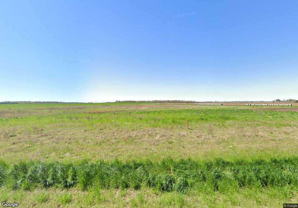
1801 Adams Rd Stapleton, GA 30823
Studio
2
Baths
2,497
Sq Ft
406.52
Acres
About This Home
This home is located at 1801 Adams Rd, Stapleton, GA 30823. 1801 Adams Rd is a home located in Jefferson County with nearby schools including Jefferson County High School.
Ownership History
Date
Name
Owned For
Owner Type
Purchase Details
Closed on
Aug 1, 2021
Sold by
P & M Lands Llc
Bought by
P & M Lands Of Georgia Llc
Purchase Details
Closed on
Apr 8, 2020
Sold by
Queensborough National Bank And Trust Co
Bought by
P & G Lands Llc
Purchase Details
Closed on
Jan 7, 2020
Sold by
Greenstone Lands Lp
Bought by
Queensborough National Bank And Trust Co
Purchase Details
Closed on
May 1, 2006
Sold by
Holley Keith E
Bought by
Greenstone Lands Lp
Create a Home Valuation Report for This Property
The Home Valuation Report is an in-depth analysis detailing your home's value as well as a comparison with similar homes in the area
Purchase History
| Date | Buyer | Sale Price | Title Company |
|---|---|---|---|
| P & M Lands Of Georgia Llc | -- | -- | |
| P & G Lands Llc | $1,444,000 | -- | |
| Queensborough National Bank And Trust Co | -- | -- | |
| Greenstone Lands Lp | $1,097,604 | -- |
Source: Public Records
Tax History
| Year | Tax Paid | Tax Assessment Tax Assessment Total Assessment is a certain percentage of the fair market value that is determined by local assessors to be the total taxable value of land and additions on the property. | Land | Improvement |
|---|---|---|---|---|
| 2025 | $5,516 | $509,923 | $466,803 | $43,120 |
| 2024 | $4,979 | $512,723 | $466,803 | $45,920 |
| 2023 | $5,305 | $435,214 | $386,494 | $48,720 |
| 2022 | $5,301 | $438,574 | $386,494 | $52,080 |
| 2021 | $13,506 | $413,208 | $413,208 | $0 |
| 2020 | $14,388 | $438,931 | $413,208 | $25,723 |
| 2019 | $14,732 | $441,274 | $413,208 | $28,066 |
| 2018 | $15,141 | $445,888 | $414,754 | $31,134 |
| 2017 | $15,232 | $447,664 | $415,880 | $31,784 |
| 2016 | $13,844 | $448,297 | $415,880 | $32,417 |
| 2015 | -- | $456,973 | $424,532 | $32,441 |
| 2014 | -- | $458,439 | $424,532 | $33,906 |
| 2013 | -- | $0 | $0 | $0 |
Source: Public Records
Map
Nearby Homes
- 12546 US Highway 1 N
- 1167 Shaunee Ln
- 0 Kings Mill Rd Unit 4 10547512
- 0 Kings Mill Rd Unit 6 10547516
- 0 Kings Mill Rd Unit 1 10547502
- 0 Kings Mill Rd Unit 5 10547515
- 0 Kings Mill Rd Unit 3 10547507
- 0 Kings Mill Rd
- 3 Stone Springfield Church Rd
- 2 Stone Springfield Church Rd
- 0 Holley Rd
- 5500 Ga Highway 88 W
- 10199 Ga Highway 296
- 1255 Nelson Rd
- 1289 Brittany St
- 0 Howard St Unit 548508
- 0 Hwy 80 and Old Stapleton Rd Unit 10622530
- 0-36 Nelson Ct
- 109 Matthews St
- 0 Young St
