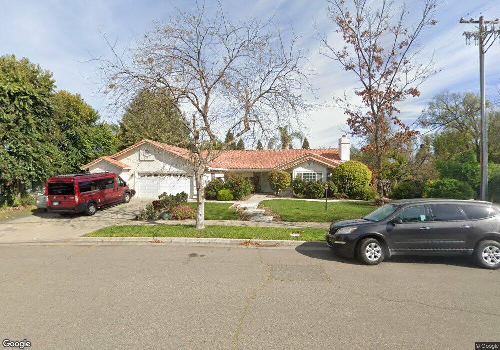
1801 Brookside Dr Merced, CA 95348
Estimated Value: $401,000 - $449,966
About This Home
This home is located at 1801 Brookside Dr, Merced, CA 95348 and is currently estimated at $422,742, approximately $218 per square foot. 1801 Brookside Dr is a home located in Merced County with nearby schools including Luther Burbank Elementary School, Tenaya Middle School, and Merced High School.
Ownership History
We collect this data history from publicly available records. To have your information removed, we recommend requesting removal directly through your county’s website.
Purchase Details
Home Financials for this Owner
Home Financials are based on the most recent Mortgage that was taken out on this home.Purchase History
We collect this data history from publicly available records. To have your information removed, we recommend requesting removal directly through your county’s website.
| Date | Buyer | Sale Price | Title Company |
|---|---|---|---|
| $192,500 | Transcounty Title Company |
Mortgage History
We collect this data history from publicly available records. To have your information removed, we recommend requesting removal directly through your county’s website.
| Date | Status | Borrower | Loan Amount |
|---|---|---|---|
| Previous Owner | $154,000 | ||
| Closed | $19,250 |
Tax History
We collect this data history from publicly available records. To have your information removed, we recommend requesting removal directly through your county’s website.
| Year | Tax Paid | Tax Assessment Tax Assessment Total Assessment is a certain percentage of the fair market value that is determined by local assessors to be the total taxable value of land and additions on the property. | Land | Improvement |
|---|---|---|---|---|
| 2025 | $3,054 | $290,043 | $52,725 | $237,318 |
| 2024 | $3,054 | $284,357 | $51,692 | $232,665 |
| 2023 | $3,011 | $278,782 | $50,679 | $228,103 |
| 2022 | $3,040 | $273,317 | $49,686 | $223,631 |
| 2021 | $3,022 | $267,959 | $48,712 | $219,247 |
| 2020 | $2,974 | $265,212 | $48,213 | $216,999 |
| 2019 | $2,934 | $260,013 | $47,268 | $212,745 |
| 2018 | $2,677 | $254,916 | $46,342 | $208,574 |
| 2017 | $2,765 | $249,919 | $45,434 | $204,485 |
| 2016 | $2,721 | $245,020 | $44,544 | $200,476 |
| 2015 | $2,671 | $241,340 | $43,875 | $197,465 |
| 2014 | $2,609 | $236,613 | $43,016 | $193,597 |
Map
- 2021 W St
- 1648 W North Bear Creek Dr
- 2500 N State Highway 59 Unit 36
- 2500 N State Highway 59
- 2500 N State Highway 59 Unit 278
- 2500 N State Highway 59 Unit 239
- 2500 N State Highway 59 Unit 18
- 2500 N State Highway 59 Unit 74
- 1646 W North Bear Creek Dr
- 1664 W North Bear Creek Dr Unit 5
- 1670 W North Bear Creek Dr
- 2500 Hwy 59 Hwy N Unit 74
- 2790 N State Highway 59
- 1127 W 19th St
- 1127 W 23rd St
- 1044 W 20th St
- 1027 W 21st St
- 1163 W 25th St
- 1054 W 24th St
- 1020 W 24th St
- 1807 Brookside Dr
- 1507 W North Bear Creek Dr
- 1819 Brookside Dr
- 1499 Bear Creek Wn Dr
- 1499 NW Bear Creek Dr
- 1499 W North Bear Creek Dr
- 1531 W North Bear Creek Dr
- 1832 Springfield Ct
- 1831 Brookside Dr
- 1820 Brookside Dr
- 1820 Springfield Ct
- 1491 W North Bear Creek Dr
- 1843 Brookside Dr
- 1830 Brookside Dr
- 1535 W North Bear Creek Dr
- 1833 Springfield Ct
- 1840 Brookside Dr
- 1483 W North Bear Creek Dr
- 1483 W Bear Creek Dr
- 1855 Brookside Dr
Ask me questions while you tour the home.