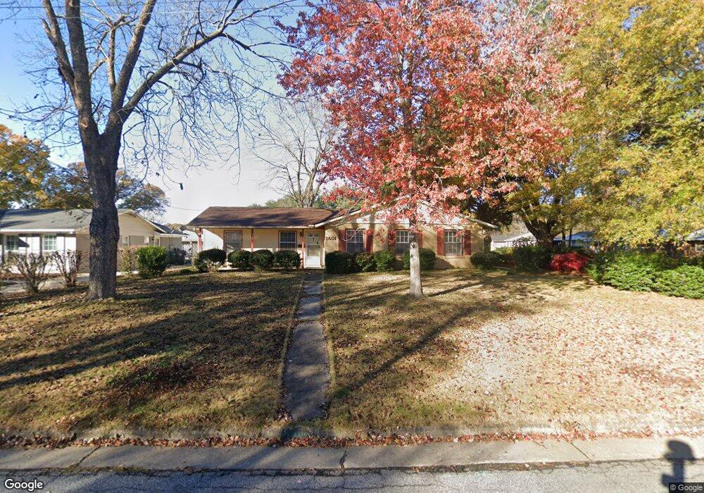
1801 Dee Ave Columbus, GA 31903
South Columbus NeighborhoodEstimated Value: $154,824 - $180,000
4
Beds
2
Baths
1,854
Sq Ft
$91/Sq Ft
Est. Value
About This Home
This home is located at 1801 Dee Ave, Columbus, GA 31903 and is currently estimated at $168,456, approximately $90 per square foot. 1801 Dee Ave is a home located in Muscogee County with nearby schools including South Columbus Elementary School, Eddy Middle School, and Spencer High School.
Ownership History
Date
Name
Owned For
Owner Type
Purchase Details
Closed on
Jul 31, 2020
Sold by
Ditchfield Mabel L
Bought by
Cook Freddie
Current Estimated Value
Home Financials for this Owner
Home Financials are based on the most recent Mortgage that was taken out on this home.
Original Mortgage
$116,844
Outstanding Balance
$103,649
Interest Rate
3%
Mortgage Type
New Conventional
Estimated Equity
$64,807
Create a Home Valuation Report for This Property
The Home Valuation Report is an in-depth analysis detailing your home's value as well as a comparison with similar homes in the area
Home Values in the Area
Average Home Value in this Area
Purchase History
| Date | Buyer | Sale Price | Title Company |
|---|---|---|---|
| Cook Freddie | $119,000 | -- |
Source: Public Records
Mortgage History
| Date | Status | Borrower | Loan Amount |
|---|---|---|---|
| Open | Cook Freddie | $116,844 |
Source: Public Records
Tax History
| Year | Tax Paid | Tax Assessment Tax Assessment Total Assessment is a certain percentage of the fair market value that is determined by local assessors to be the total taxable value of land and additions on the property. | Land | Improvement |
|---|---|---|---|---|
| 2025 | $1,118 | $55,132 | $4,616 | $50,516 |
| 2024 | $1,117 | $55,132 | $4,616 | $50,516 |
| 2023 | $430 | $55,132 | $4,616 | $50,516 |
| 2022 | $1,165 | $41,752 | $4,616 | $37,136 |
| 2021 | $1,706 | $41,784 | $4,616 | $37,168 |
| 2020 | $1,472 | $36,036 | $4,616 | $31,420 |
| 2019 | $327 | $36,036 | $4,616 | $31,420 |
| 2018 | $327 | $36,036 | $4,616 | $31,420 |
| 2017 | $330 | $36,036 | $4,616 | $31,420 |
| 2016 | $333 | $44,092 | $3,860 | $40,232 |
| 2015 | $134 | $44,092 | $3,860 | $40,232 |
| 2014 | $135 | $44,092 | $3,860 | $40,232 |
| 2013 | -- | $44,092 | $3,860 | $40,232 |
Source: Public Records
Map
Nearby Homes
- 3018 Plantation Rd
- 1818 Somerset Ave
- 3015 Hendrix St
- 2102 Somerset Ave
- 2058 Somerset Ave
- 2940 Blan St
- 2848 Blan St
- 3048 Knox St
- 2309 Ginny Ave
- 3433 Marathon Dr
- 3233 Hendrix St
- 2241 Bruce Ave
- 3120 Drake St
- 2720 Broadmoor Dr
- 3044 Wise St
- 2333 Bruce Ave
- 2425 Howe Ave
- 2720 Wise St
- 3063 Meade St
- 2505 Broadmoor Dr
- 1805 Dee Ave
- 1802 Oakland Ave
- 1809 Dee Ave
- 2859 Avondale Rd
- 1806 Oakland Ave
- 2863 Avondale Rd
- 1800 Dee Ave
- 2855 Avondale Rd
- 1804 Dee Ave
- 2867 Avondale Rd
- 1810 Oakland Ave
- 1813 Dee Ave
- 1808 Dee Ave
- 2851 Avondale Rd
- 2871 Avondale Rd
- 1812 Dee Ave
- 1814 Oakland Ave
- 2847 Avondale Rd
- 1815 Dee Ave
- 2736 Ramsey Rd
Your Personal Tour Guide
Ask me questions while you tour the home.