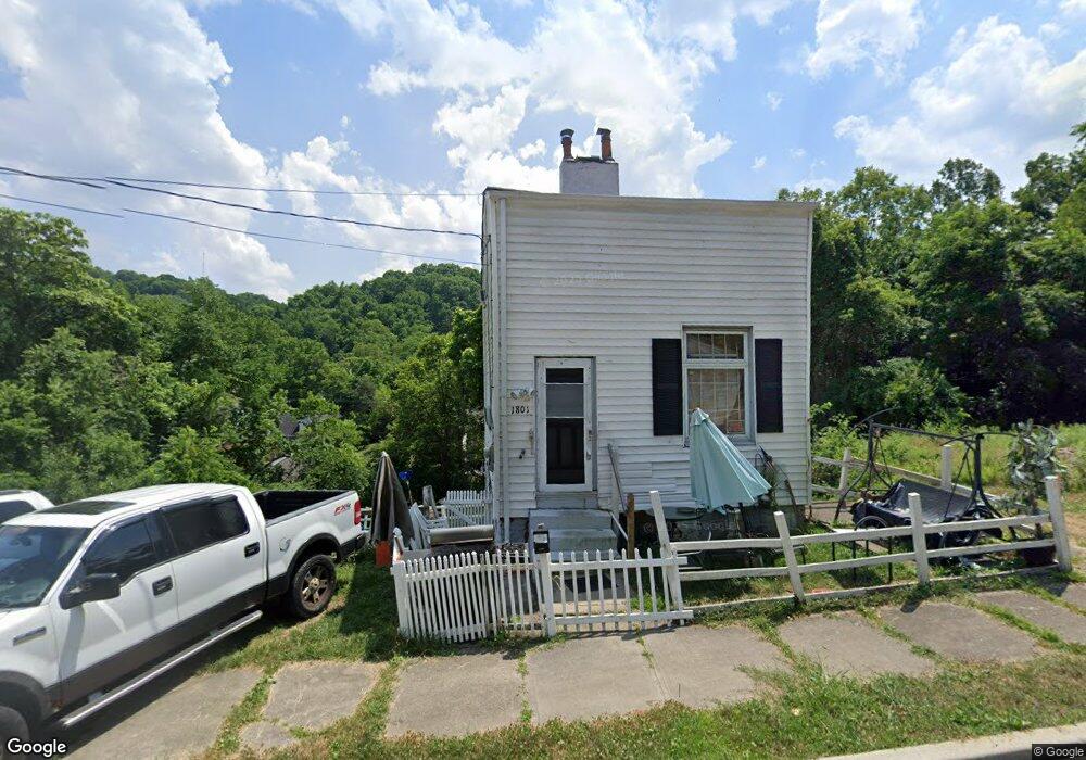
1801 Denham St Cincinnati, OH 45225
North Fairmount NeighborhoodEstimated Value: $54,831 - $74,000
2
Beds
1
Bath
1,182
Sq Ft
$57/Sq Ft
Est. Value
About This Home
This home is located at 1801 Denham St, Cincinnati, OH 45225 and is currently estimated at $67,708, approximately $57 per square foot. 1801 Denham St is a home located in Hamilton County with nearby schools including Ethel M. Taylor Academy, Robert A. Taft Information Technology High School, and Western Hills High School.
Ownership History
Date
Name
Owned For
Owner Type
Purchase Details
Closed on
Jul 20, 2010
Sold by
Harper Rutledge Ray
Bought by
Williams James H
Current Estimated Value
Purchase Details
Closed on
Dec 5, 2008
Sold by
Fichter Tawn A
Bought by
Harper Rutledge Ray
Purchase Details
Closed on
Mar 22, 2005
Sold by
Terrace Home Builders Inc
Bought by
Lehman Harry J
Home Financials for this Owner
Home Financials are based on the most recent Mortgage that was taken out on this home.
Original Mortgage
$57,000
Interest Rate
6.95%
Mortgage Type
Fannie Mae Freddie Mac
Purchase Details
Closed on
Aug 28, 1998
Sold by
Lehman Harry J and Lehman Shirley
Bought by
Terrace Home Builders Inc
Create a Home Valuation Report for This Property
The Home Valuation Report is an in-depth analysis detailing your home's value as well as a comparison with similar homes in the area
Home Values in the Area
Average Home Value in this Area
Purchase History
| Date | Buyer | Sale Price | Title Company |
|---|---|---|---|
| Williams James H | -- | None Available | |
| Harper Rutledge Ray | $1,900 | Attorney | |
| Lehman Harry J | -- | Custom Land Title Llc | |
| Terrace Home Builders Inc | -- | -- |
Source: Public Records
Mortgage History
| Date | Status | Borrower | Loan Amount |
|---|---|---|---|
| Previous Owner | Lehman Harry J | $57,000 |
Source: Public Records
Tax History
| Year | Tax Paid | Tax Assessment Tax Assessment Total Assessment is a certain percentage of the fair market value that is determined by local assessors to be the total taxable value of land and additions on the property. | Land | Improvement |
|---|---|---|---|---|
| 2025 | $189 | $2,857 | $1,229 | $1,628 |
| 2024 | $189 | $2,857 | $1,229 | $1,628 |
| 2023 | $189 | $2,857 | $1,229 | $1,628 |
| 2022 | $115 | $1,520 | $1,243 | $277 |
| 2021 | $111 | $1,520 | $1,243 | $277 |
| 2020 | $111 | $1,520 | $1,243 | $277 |
| 2019 | $111 | $1,383 | $1,131 | $252 |
| 2018 | $111 | $1,383 | $1,131 | $252 |
| 2017 | $106 | $1,383 | $1,131 | $252 |
| 2016 | $43 | $498 | $256 | $242 |
| 2015 | $39 | $498 | $256 | $242 |
| 2014 | $39 | $498 | $256 | $242 |
| 2013 | $38 | $490 | $252 | $238 |
Source: Public Records
Map
Nearby Homes
- 1797 Denham St
- 1808 Carll St
- 1793 Baltimore Ave
- 1781 Baltimore Ave
- 2594 Seegar Ave
- 1859 Baltimore Ave
- 2568 Trevor Place
- 1646 Pulte St
- 1642 Sutter Ave
- 1674 Baltimore Ave
- 2911 Moosewood Ct
- 2658 Linden St
- 2656 Linden St
- 2654 Linden St
- 2652 Linden St
- 2650 Linden St
- 1613 Pulte St
- 1607 Pulte St
- 1965 Baltimore Ave
- 1854 Knox St
- 1803 Denham St
- 1799 Denham St
- 1805 Denham St
- 1807 Denham St
- 1795 Denham St
- 1793 Denham St Unit 1791
- 1793 Denham St
- 1796 Carll St
- 1798 Carll St
- 1794 Carll St
- 1800 Carll St
- 1792 Carll St
- 1802 Carll St
- 1804 Carll St
- 1800 Denham St
- 1796 Denham St
- 1788 Carll St
- 1787 Denham St
- 1812 Carll St
- 1819 Denham St
Your Personal Tour Guide
Ask me questions while you tour the home.