Estimated Value: $161,186 - $193,000
4
Beds
1
Bath
1,335
Sq Ft
$130/Sq Ft
Est. Value
About This Home
This home is located at 1801 Depot Rd, Salem, OH 44460 and is currently estimated at $173,297, approximately $129 per square foot. 1801 Depot Rd is a home located in Columbiana County with nearby schools including Reilly Elementary School, Buckeye Elementary School, and Salem Junior High School.
Ownership History
Date
Name
Owned For
Owner Type
Purchase Details
Closed on
Dec 2, 2002
Sold by
Hawse Mark E and Hawse Kathy A
Bought by
Hawse Mark E and Hawse Kathy A
Current Estimated Value
Purchase Details
Closed on
Mar 23, 2001
Sold by
Hawse Mark E
Bought by
Hawse Mark E and Hawse Kathy A
Home Financials for this Owner
Home Financials are based on the most recent Mortgage that was taken out on this home.
Original Mortgage
$27,572
Interest Rate
7.02%
Purchase Details
Closed on
Sep 27, 1999
Sold by
Franken Paul J and Franken Barbara J
Bought by
Hawse Mark E
Home Financials for this Owner
Home Financials are based on the most recent Mortgage that was taken out on this home.
Original Mortgage
$75,900
Outstanding Balance
$27,570
Interest Rate
10.5%
Estimated Equity
$145,727
Purchase Details
Closed on
Apr 13, 1994
Sold by
Franken Paul J and Franken Barbara
Bought by
Franken Paul J and Or Barba
Create a Home Valuation Report for This Property
The Home Valuation Report is an in-depth analysis detailing your home's value as well as a comparison with similar homes in the area
Home Values in the Area
Average Home Value in this Area
Purchase History
| Date | Buyer | Sale Price | Title Company |
|---|---|---|---|
| Hawse Mark E | -- | -- | |
| Hawse Mark E | -- | -- | |
| Hawse Mark E | $79,900 | -- | |
| Franken Paul J | $56,900 | -- |
Source: Public Records
Mortgage History
| Date | Status | Borrower | Loan Amount |
|---|---|---|---|
| Closed | Hawse Mark E | $27,572 | |
| Open | Hawse Mark E | $75,900 |
Source: Public Records
Tax History Compared to Growth
Tax History
| Year | Tax Paid | Tax Assessment Tax Assessment Total Assessment is a certain percentage of the fair market value that is determined by local assessors to be the total taxable value of land and additions on the property. | Land | Improvement |
|---|---|---|---|---|
| 2024 | $1,605 | $38,540 | $4,620 | $33,920 |
| 2023 | $1,609 | $38,540 | $4,620 | $33,920 |
| 2022 | $1,496 | $38,540 | $4,620 | $33,920 |
| 2021 | $1,314 | $31,440 | $4,240 | $27,200 |
| 2020 | $1,324 | $31,440 | $4,240 | $27,200 |
| 2019 | $1,323 | $31,440 | $4,240 | $27,200 |
| 2018 | $1,263 | $28,560 | $3,850 | $24,710 |
| 2017 | $1,262 | $28,560 | $3,850 | $24,710 |
| 2016 | $1,324 | $28,990 | $3,750 | $25,240 |
| 2015 | $1,302 | $28,990 | $3,750 | $25,240 |
| 2014 | $1,265 | $28,990 | $3,750 | $25,240 |
Source: Public Records
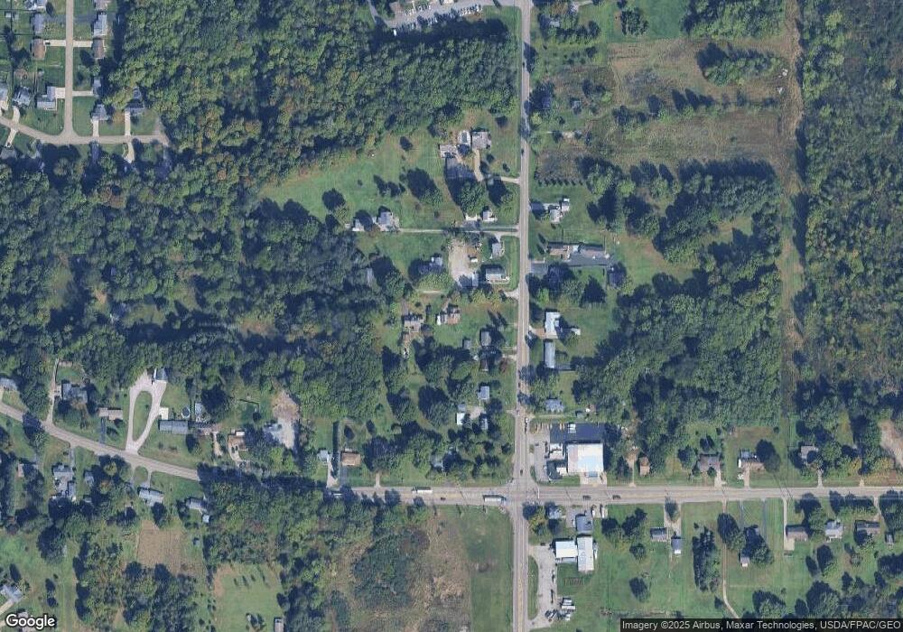
Map
Nearby Homes
- 156 W Pidgeon Rd
- 312 W Pidgeon Rd
- 523 Bethel Dr
- 501 Stewart Rd
- 1750 Allen Dr
- 909 Somerset Dr Unit A
- 935 W Pidgeon Rd
- 1175 S Lincoln Ave
- 1357 Pembrooke Dr Unit D
- 944 Jones Dr
- 937 Liberty St
- 0 Homewood Place
- 1918 S Lincoln Ave Unit 1
- 1603 Chestnut Grove Rd
- 1358 Andrew Ave
- 1180 Jones Dr
- 1026 Franklin Ave
- 2503 Depot Rd
- 912 Barclay Ave
- 1683 Ridgewood Dr