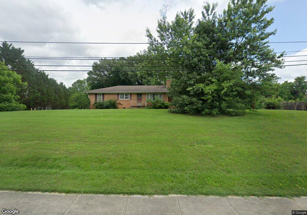
1801 Dug Gap Rd Dalton, GA 30720
Estimated Value: $220,287 - $345,000
--
Bed
1
Bath
1,188
Sq Ft
$237/Sq Ft
Est. Value
About This Home
This home is located at 1801 Dug Gap Rd, Dalton, GA 30720 and is currently estimated at $281,322, approximately $236 per square foot. 1801 Dug Gap Rd is a home located in Whitfield County with nearby schools including Dug Gap Elementary School, Valley Point Middle School, and Southeast Whitfield County High School.
Ownership History
Date
Name
Owned For
Owner Type
Purchase Details
Closed on
May 28, 2025
Sold by
Adams Mary L and Adams Heather S
Bought by
Fischer Robert P
Current Estimated Value
Purchase Details
Closed on
Jan 2, 2024
Sold by
Ramos Ethan Ariel
Bought by
Riderwood Group Llc
Purchase Details
Closed on
Jan 3, 2023
Sold by
Bender Bruce W
Bought by
Mtglq Investors Lp
Purchase Details
Closed on
Jun 8, 2016
Sold by
Freylach Leona West
Bought by
Freylach Linda
Create a Home Valuation Report for This Property
The Home Valuation Report is an in-depth analysis detailing your home's value as well as a comparison with similar homes in the area
Home Values in the Area
Average Home Value in this Area
Purchase History
| Date | Buyer | Sale Price | Title Company |
|---|---|---|---|
| Fischer Robert P | $170,000 | None Listed On Document | |
| Fischer Robert P | $170,000 | None Listed On Document | |
| Riderwood Group Llc | -- | None Listed On Document | |
| Mtglq Investors Lp | -- | -- | |
| Freylach Linda | -- | -- |
Source: Public Records
Tax History Compared to Growth
Tax History
| Year | Tax Paid | Tax Assessment Tax Assessment Total Assessment is a certain percentage of the fair market value that is determined by local assessors to be the total taxable value of land and additions on the property. | Land | Improvement |
|---|---|---|---|---|
| 2024 | $1,559 | $93,099 | $28,506 | $64,593 |
| 2023 | $1,559 | $51,917 | $10,690 | $41,227 |
| 2022 | $1,173 | $39,776 | $10,690 | $29,086 |
| 2021 | $1,174 | $39,776 | $10,690 | $29,086 |
| 2020 | $1,213 | $39,776 | $10,690 | $29,086 |
| 2019 | $1,233 | $39,776 | $10,690 | $29,086 |
| 2018 | $1,229 | $39,018 | $9,932 | $29,086 |
| 2017 | $1,230 | $39,018 | $9,932 | $29,086 |
| 2016 | $1,115 | $36,773 | $9,932 | $26,841 |
| 2014 | $908 | $33,724 | $6,883 | $26,841 |
| 2013 | -- | $33,724 | $6,883 | $26,841 |
Source: Public Records
Map
Nearby Homes
- 0 Horizon Ct Unit 130497
- 0 Horizon Ct Unit 130499
- 0 Horizon Ct Unit 130479
- 0 Horizon Ct Unit 130477
- 0 Horizon Ct Unit 130478
- 0 Horizon Ct Unit 130496
- 0 Horizon Ct Unit 130498
- 1913 Tara Place
- 702 Courtland Dr
- 1908 Valley Brook Dr
- 1709 Dug Gap Rd
- 1603 Habersham Way
- 1901 Keystone Way
- 1915 W Brookhaven Cir
- 1704 Southmont Dr
- 1922 W Brookhaven Cir
- 1922 W Brookhaven Cir
- 608 Brookview Ln
- 3016 E Brookhaven Cir
- 408 Alex Dr
- 510 Wisteria Dr
- 512 Wisteria Dr
- 508 Wisteria Dr
- 506 Wisteria Dr
- 1734 Dug Gap Rd
- 1807 Dug Gap Rd
- 1800 Wabash Ave
- 708 Jackson Ave
- 1808 Dug Gap Rd
- 1809 Dug Gap Rd
- 1802 Wabash Ave
- 1817 Saint Ives Place
- 1800 Marthas Bridge Rd Unit 11
- 712 Jackson Ave
- 504 Wisteria Dr
- 702 Brier Rd
- 703 Holland Ave
- 1801 Wabash Ave
- 1813 Saint Ives Place
- 1811 Dug Gap Rd