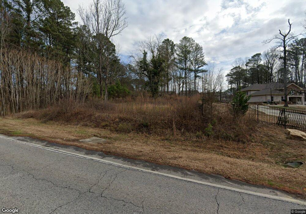
1801 Highpoint Rd Snellville, GA 30078
Estimated Value: $302,000 - $654,590
4
Beds
4
Baths
3,849
Sq Ft
$129/Sq Ft
Est. Value
About This Home
This home is located at 1801 Highpoint Rd, Snellville, GA 30078 and is currently estimated at $495,898, approximately $128 per square foot. 1801 Highpoint Rd is a home located in Gwinnett County with nearby schools including Brookwood Elementary School, Alton C. Crews Middle School, and Brookwood High School.
Ownership History
Date
Name
Owned For
Owner Type
Purchase Details
Closed on
Dec 28, 2018
Sold by
Federal Home Loan Mtg Corp
Bought by
Thapagurung Champa
Current Estimated Value
Purchase Details
Closed on
Sep 4, 2018
Sold by
Jpmorgan Chase Bank National Association
Bought by
Federal Home Loan Mtg Corp
Create a Home Valuation Report for This Property
The Home Valuation Report is an in-depth analysis detailing your home's value as well as a comparison with similar homes in the area
Home Values in the Area
Average Home Value in this Area
Purchase History
| Date | Buyer | Sale Price | Title Company |
|---|---|---|---|
| Thapagurung Champa | $115,000 | -- | |
| Federal Home Loan Mtg Corp | $89,760 | -- | |
| Jpmorgan Chase Bank National Association | $89,760 | -- |
Source: Public Records
Tax History Compared to Growth
Tax History
| Year | Tax Paid | Tax Assessment Tax Assessment Total Assessment is a certain percentage of the fair market value that is determined by local assessors to be the total taxable value of land and additions on the property. | Land | Improvement |
|---|---|---|---|---|
| 2025 | $7,635 | $221,600 | $24,000 | $197,600 |
| 2024 | $7,789 | $221,600 | $24,000 | $197,600 |
| 2023 | $7,789 | $228,480 | $24,000 | $204,480 |
| 2022 | $7,306 | $199,840 | $22,000 | $177,840 |
| 2021 | $613 | $10,800 | $10,800 | $0 |
| 2020 | $1,856 | $10,800 | $10,800 | $0 |
| 2019 | $1,856 | $44,200 | $16,600 | $27,600 |
| 2018 | $1,851 | $44,200 | $16,600 | $27,600 |
| 2016 | $1,870 | $44,200 | $16,600 | $27,600 |
| 2015 | $1,891 | $44,200 | $16,600 | $27,600 |
| 2014 | $1,488 | $33,280 | $14,880 | $18,400 |
Source: Public Records
Map
Nearby Homes
- 3063 Bruckner Blvd
- 1845 Lisa Springs Dr
- 3207 Aspen Cir SW
- Kenwood Plan at Watson Park
- Stockbridge Plan at Watson Park
- Aiken Plan at Watson Park
- Lawrence Plan at Watson Park
- Easton Plan at Watson Park
- 1904 Britt Dr
- 1916 Oakwood Grove Dr Unit 1
- 1953 Watson Park Dr
- 1721 Bruckner Ct
- 2034 Britt Dr
- 1686 Norton Estates Dr
- 3173 Falconhurst Dr SW
- 1795 Elmwood Cir
- 2167 Foley Park St
- 2286 Foley Park St
- 3075 Oak Meadow Dr
- 2350 Action Way
- 1801 Highpoint Rd
- 3146 Bruckner Blvd
- 3166 Bruckner Blvd Unit 1
- 1805 Highpoint Rd
- 3136 Bruckner Blvd
- 1800 Highpoint Rd
- 3176 Bruckner Blvd
- 1815 Highpoint Rd Unit 1
- 3126 Bruckner Blvd
- 1785 Highpoint Rd
- 3186 Bruckner Blvd
- 1784 Highpoint Rd
- 3312 Avenel Ct
- 3302 Avenel Ct Unit 64
- 3173 Crossing Dr
- 3292 Avenel Ct
- 1835 Highpoint Rd
- 3173 Bruckner Blvd
- 1775 Highpoint Rd
- 3322 Avenel Ct