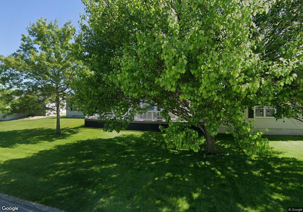
1801 Monitor Ave Unit 370 Lakeside Marblehead, OH 43440
Estimated Value: $310,000 - $389,703
3
Beds
2
Baths
1,408
Sq Ft
$255/Sq Ft
Est. Value
About This Home
This home is located at 1801 Monitor Ave Unit 370, Lakeside Marblehead, OH 43440 and is currently estimated at $359,176, approximately $255 per square foot. 1801 Monitor Ave Unit 370 is a home located in Ottawa County with nearby schools including Danbury Middle School and Danbury High School.
Ownership History
Date
Name
Owned For
Owner Type
Purchase Details
Closed on
Jun 25, 2018
Sold by
Buck Point Limited Partnership
Bought by
Dempsey David A and Dempsey Patricia A
Current Estimated Value
Home Financials for this Owner
Home Financials are based on the most recent Mortgage that was taken out on this home.
Original Mortgage
$39,442
Outstanding Balance
$12,666
Interest Rate
4.5%
Mortgage Type
Future Advance Clause Open End Mortgage
Estimated Equity
$346,510
Purchase Details
Closed on
Apr 17, 2009
Sold by
Buck Point Limited Partnership
Bought by
Dempsey David A and Dempsey Patricia A
Home Financials for this Owner
Home Financials are based on the most recent Mortgage that was taken out on this home.
Original Mortgage
$113,450
Interest Rate
4.94%
Mortgage Type
New Conventional
Create a Home Valuation Report for This Property
The Home Valuation Report is an in-depth analysis detailing your home's value as well as a comparison with similar homes in the area
Home Values in the Area
Average Home Value in this Area
Purchase History
| Date | Buyer | Sale Price | Title Company |
|---|---|---|---|
| Dempsey David A | $35,000 | None Available | |
| Dempsey David A | $133,500 | Hartung Title |
Source: Public Records
Mortgage History
| Date | Status | Borrower | Loan Amount |
|---|---|---|---|
| Open | Dempsey David A | $39,442 | |
| Previous Owner | Dempsey David A | $113,450 |
Source: Public Records
Tax History Compared to Growth
Tax History
| Year | Tax Paid | Tax Assessment Tax Assessment Total Assessment is a certain percentage of the fair market value that is determined by local assessors to be the total taxable value of land and additions on the property. | Land | Improvement |
|---|---|---|---|---|
| 2024 | $3,536 | $115,798 | $30,580 | $85,218 |
| 2023 | $3,536 | $69,556 | $18,204 | $51,352 |
| 2022 | $2,054 | $69,556 | $18,204 | $51,352 |
| 2021 | $2,060 | $69,550 | $18,200 | $51,350 |
| 2020 | $1,876 | $61,130 | $17,850 | $43,280 |
| 2019 | $1,732 | $61,130 | $17,850 | $43,280 |
| 2018 | $1,851 | $61,130 | $17,850 | $43,280 |
| 2017 | $1,665 | $55,040 | $17,330 | $37,710 |
| 2016 | $1,649 | $55,040 | $17,330 | $37,710 |
| 2015 | $1,657 | $55,040 | $17,330 | $37,710 |
| 2014 | $1,556 | $51,000 | $17,330 | $33,670 |
| 2013 | $1,450 | $51,000 | $17,330 | $33,670 |
Source: Public Records
Map
Nearby Homes
- 1600 N Buck Rd Unit 6
- 1600 N Buck Rd Unit 34
- 5401 E Maritime Shoreway Unit D
- 5401 E Maritime Shoreway Unit C
- 1789 N Windward Dr Unit H11
- 1789 N Windward Dr
- 1963 NE Catawba Rd Unit 411
- 1963 NE Catawba Rd Unit 431
- 1963 NE Catawba Rd Unit 422
- 1963 NE Catawba Rd Unit 421
- 1963 NE Catawba Rd Unit 531
- 1777 N Windward Dr Unit H5
- 0 N Windward Dr Unit 5144701
- 5510 E Center Ln
- 5475 E Mabel Dr
- 1229 Catawba Bay Dr
- 2629 NE Catawba Rd
- 891 Lost Lake Rd
- 5411 E Channel Dr
- 999 N Buck Rd Unit 38
- 1791 Monitor Ave Unit 369
- 1791 Monitor Ave
- 1800 N Forester
- 1800 Forster
- 1811 Monitor Ave
- 1800 N Forster Ave Unit 359
- 1800 N Forster Ave
- 1790 N Forster Ave Unit 360
- 1790 N Forster Ave
- 1781 Monitor Ave Unit 368
- 1781 Monitor Ave
- 1810 N Forster Ave
- 1790 N Forester
- 1790 Forster
- 1780 N Forster Ave Unit 361
- 1780 N Forster Ave
- 1810 N Monitor
- 1810 Monitor Ave
- 1800 Monitor Ave Unit 373
- 1790 Monitor Ave Unit 374