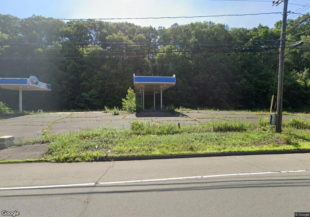
1801 N Broad St Meriden, CT 06450
Estimated Value: $1,385,387
--
Bed
--
Bath
7,037
Sq Ft
$197/Sq Ft
Est. Value
About This Home
This home is located at 1801 N Broad St, Meriden, CT 06450 and is currently estimated at $1,385,387, approximately $196 per square foot. 1801 N Broad St is a home located in New Haven County with nearby schools including Nathan Hale Elementary School, Washington Middle School, and Francis T. Maloney High School.
Ownership History
Date
Name
Owned For
Owner Type
Purchase Details
Closed on
Jun 22, 2006
Sold by
Blx Capital Re Llc
Bought by
Grjh Inc
Current Estimated Value
Home Financials for this Owner
Home Financials are based on the most recent Mortgage that was taken out on this home.
Original Mortgage
$900,000
Outstanding Balance
$225,735
Interest Rate
3%
Mortgage Type
Commercial
Estimated Equity
$1,159,652
Purchase Details
Closed on
Jun 21, 1999
Sold by
Jgm Llc
Bought by
Aq Llc
Create a Home Valuation Report for This Property
The Home Valuation Report is an in-depth analysis detailing your home's value as well as a comparison with similar homes in the area
Home Values in the Area
Average Home Value in this Area
Purchase History
| Date | Buyer | Sale Price | Title Company |
|---|---|---|---|
| Grjh Inc | $900,000 | -- | |
| Aq Llc | $160,000 | -- |
Source: Public Records
Mortgage History
| Date | Status | Borrower | Loan Amount |
|---|---|---|---|
| Open | Aq Llc | $900,000 | |
| Previous Owner | Aq Llc | $205,000 | |
| Previous Owner | Aq Llc | $950,000 |
Source: Public Records
Tax History Compared to Growth
Tax History
| Year | Tax Paid | Tax Assessment Tax Assessment Total Assessment is a certain percentage of the fair market value that is determined by local assessors to be the total taxable value of land and additions on the property. | Land | Improvement |
|---|---|---|---|---|
| 2025 | $12,140 | $302,750 | $192,430 | $110,320 |
| 2024 | $10,993 | $302,750 | $192,430 | $110,320 |
| 2023 | $10,533 | $302,750 | $192,430 | $110,320 |
| 2022 | $9,988 | $302,750 | $192,430 | $110,320 |
| 2021 | $17,090 | $418,250 | $320,950 | $97,300 |
| 2020 | $25,201 | $616,770 | $320,950 | $295,820 |
| 2019 | $25,196 | $616,630 | $320,810 | $295,820 |
| 2018 | $25,306 | $616,630 | $320,810 | $295,820 |
| 2017 | $24,616 | $616,630 | $320,810 | $295,820 |
| 2016 | $21,923 | $598,500 | $320,810 | $277,690 |
| 2015 | $21,923 | $598,500 | $320,810 | $277,690 |
| 2014 | $21,390 | $598,500 | $320,810 | $277,690 |
Source: Public Records
Map
Nearby Homes
- 1371 Old North Colony Rd
- 1069 N Colony Rd
- 1655 N Colony Rd Unit 5001
- 1655 N Colony Rd Unit 12
- 1655 N Colony Rd Unit 4002
- 1655 N Colony Rd Unit 13
- 929 N Colony Rd Unit 6
- 99 Dogwood Ln
- 584 Gracey Ave
- 52 Oakland Ct
- 47 Dogwood Ln
- 497 Gracey Ave
- 19 Dogwood Ln
- 8 Canoe Birch Ct Unit 8
- 29 Loyola Rd
- 882 N Colony Rd Unit 61
- 882 N Colony Rd Unit 2
- 882 N Colony Rd Unit 28
- 180 Carey Ave
- 303 Blackstone Village
- 1821 N Broad St
- 1790 N Broad St
- 226 Canyon Dr
- 170 Canyon Dr
- 1718 N Broad St
- 1900 N Broad St Unit 21
- 1900 N Broad St Unit 43
- 1900 N Broad St Unit 19
- 1900 N Broad St Unit 17
- 1858 N Broad St
- 512 N Broad St Unit 512
- 114 Canyon Dr
- 19 Woodland St
- 1950 N Broad St
- 1950 N Broad St Unit 18
- 1950 N Broad St Unit 25
- 1950 N Broad St Unit 14
- 1950 N Broad St Unit 1
- 1950 N Broad St Unit 17