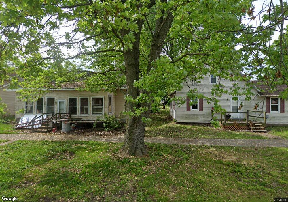
1801 Piatt Ave Mattoon, IL 61938
Estimated Value: $48,000 - $91,000
1
Bed
1
Bath
480
Sq Ft
$126/Sq Ft
Est. Value
About This Home
This home is located at 1801 Piatt Ave, Mattoon, IL 61938 and is currently estimated at $60,690, approximately $126 per square foot. 1801 Piatt Ave is a home located in Coles County with nearby schools including Mattoon High School, St Mary School, and St. John's Lutheran School.
Ownership History
Date
Name
Owned For
Owner Type
Purchase Details
Closed on
Aug 12, 2019
Sold by
Osborn Susan
Bought by
Dow Donald L and Dow Cassi M
Current Estimated Value
Home Financials for this Owner
Home Financials are based on the most recent Mortgage that was taken out on this home.
Original Mortgage
$16,434
Outstanding Balance
$14,939
Interest Rate
5.75%
Mortgage Type
New Conventional
Estimated Equity
$45,751
Purchase Details
Closed on
Oct 31, 2011
Sold by
Gaines David Michael and Gaines Mary Jane
Bought by
Osborn Susan
Create a Home Valuation Report for This Property
The Home Valuation Report is an in-depth analysis detailing your home's value as well as a comparison with similar homes in the area
Home Values in the Area
Average Home Value in this Area
Purchase History
| Date | Buyer | Sale Price | Title Company |
|---|---|---|---|
| Dow Donald L | $25,000 | None Available | |
| Osborn Susan | $27,000 | None Available |
Source: Public Records
Mortgage History
| Date | Status | Borrower | Loan Amount |
|---|---|---|---|
| Open | Dow Donald L | $16,434 |
Source: Public Records
Tax History Compared to Growth
Tax History
| Year | Tax Paid | Tax Assessment Tax Assessment Total Assessment is a certain percentage of the fair market value that is determined by local assessors to be the total taxable value of land and additions on the property. | Land | Improvement |
|---|---|---|---|---|
| 2024 | $856 | $10,072 | $4,641 | $5,431 |
| 2023 | $795 | $8,993 | $4,144 | $4,849 |
| 2022 | $773 | $8,845 | $4,076 | $4,769 |
| 2021 | $776 | $8,124 | $3,744 | $4,380 |
| 2020 | $767 | $8,417 | $3,879 | $4,538 |
| 2019 | $755 | $8,124 | $3,744 | $4,380 |
| 2018 | $742 | $8,124 | $3,744 | $4,380 |
| 2017 | $739 | $8,124 | $3,744 | $4,380 |
| 2016 | $724 | $8,124 | $3,744 | $4,380 |
| 2015 | $715 | $8,124 | $3,744 | $4,380 |
| 2014 | $715 | $8,124 | $3,744 | $4,380 |
| 2013 | $715 | $8,124 | $3,744 | $4,380 |
Source: Public Records
Map
Nearby Homes
- 1904 Dewitt Ave
- 1908 Dewitt Ave
- 1905 Dewitt Ave
- 1705 Dewitt Ave
- 1816 Grant Ave
- 2104 Moultrie Ave
- 2016 Douglas Ave
- 1900 Champaign Ave
- 1612 Richmond Ave
- 1412 Champaign Ave
- 2504 Shelby Ave
- 2509 Moultrie Ave
- 817 N 11th St
- 1205 Champaign Ave
- 1021 Piatt Ave
- 2608 Shelby Ave
- 2400 Western Ave
- 1120 N 11th St
- 916 Piatt Ave
- 2713 Moultrie Ave
- 1805 Piatt Ave
- 1809 Piatt Ave
- 1813 Piatt Ave
- 1721 Piatt Ave
- 1800 Dewitt Ave
- 1808 Dewitt Ave
- 1817 Piatt Ave
- 1717 Piatt Ave
- 1800 Piatt Ave
- 1720 Dewitt Ave
- 1812 Dewitt Ave
- 716 N 19th St
- 1716 Dewitt Ave
- 720 N 19th St
- 1804 Piatt Ave
- 712 N 19th St
- 1808 Piatt Ave
- 1820 Dewitt Ave
- 1713 Piatt Ave
- 1812 Piatt Ave