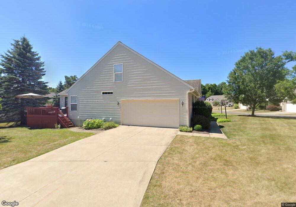
1801 Southpointe Cir NE Unit 35N Canton, OH 44714
Martindale Park NeighborhoodEstimated Value: $262,000 - $271,000
2
Beds
2
Baths
1,604
Sq Ft
$167/Sq Ft
Est. Value
About This Home
This home is located at 1801 Southpointe Cir NE Unit 35N, Canton, OH 44714 and is currently estimated at $267,117, approximately $166 per square foot. 1801 Southpointe Cir NE Unit 35N is a home located in Stark County with nearby schools including Ransom H. Barr Elementary School, Glenwood Intermediate School, and GlenOak High School.
Ownership History
Date
Name
Owned For
Owner Type
Purchase Details
Closed on
Feb 26, 2001
Sold by
The Drees Company
Bought by
Toney Steven R and Toney Sandra A
Current Estimated Value
Home Financials for this Owner
Home Financials are based on the most recent Mortgage that was taken out on this home.
Original Mortgage
$134,200
Interest Rate
6.91%
Create a Home Valuation Report for This Property
The Home Valuation Report is an in-depth analysis detailing your home's value as well as a comparison with similar homes in the area
Home Values in the Area
Average Home Value in this Area
Purchase History
| Date | Buyer | Sale Price | Title Company |
|---|---|---|---|
| Toney Steven R | $158,000 | Relyon Title Agency Inc |
Source: Public Records
Mortgage History
| Date | Status | Borrower | Loan Amount |
|---|---|---|---|
| Closed | Toney Steven R | $134,200 |
Source: Public Records
Tax History Compared to Growth
Tax History
| Year | Tax Paid | Tax Assessment Tax Assessment Total Assessment is a certain percentage of the fair market value that is determined by local assessors to be the total taxable value of land and additions on the property. | Land | Improvement |
|---|---|---|---|---|
| 2025 | -- | $82,320 | $14,070 | $68,250 |
| 2024 | -- | $82,320 | $14,070 | $68,250 |
| 2023 | $1,770 | $55,060 | $9,350 | $45,710 |
| 2022 | $1,796 | $55,060 | $9,350 | $45,710 |
| 2021 | $1,802 | $55,060 | $9,350 | $45,710 |
| 2020 | $1,780 | $49,250 | $8,680 | $40,570 |
| 2019 | $1,766 | $49,250 | $8,680 | $40,570 |
| 2018 | $1,739 | $49,250 | $8,680 | $40,570 |
| 2017 | $1,595 | $42,980 | $8,680 | $34,300 |
| 2016 | $1,597 | $42,980 | $8,680 | $34,300 |
| 2015 | $1,597 | $42,980 | $8,680 | $34,300 |
| 2014 | $1,827 | $46,140 | $10,610 | $35,530 |
| 2013 | $917 | $46,140 | $10,610 | $35,530 |
Source: Public Records
Map
Nearby Homes
- 1852 Southpointe Cir NE Unit 39W
- 1327 44th St NE
- 1912 40th St NE
- 4015 Pelham St NE Unit 3A
- 1902 39th St NE
- 2211 48th St NE
- 4701 Roosevelt Ave NE
- 2216 49th St NE
- 4800 Middlebranch Ave NE
- 4123 Regentview St NE
- 2317 Raintree St NE
- 0 St Elmo Ave NE Unit 5159780
- 0 St Elmo Ave NE Unit 5089961
- 2419 Bur Oak St NE
- 2323 Fencegate St NE
- 3619 Rowland Ave NE
- 3922 Market Ave N
- 1428 35th St NE
- 1601 33rd St NE
- 4442 Logan Ave NW
- 1803 Southpointe Cir NE
- 1843 Southpointe Cir NE Unit 36W
- 1850 Southpointe Cir NE Unit 39E
- 1848 Southpointe Cir NE
- 1805 Southpointe Cir NE
- 1802 Southpointe Cir NE Unit 26N
- 1846 Southpointe Cir NE Unit 38
- 1807 Southpointe Cir NE
- 1807 S Pointe Cir NE
- 1825 Southpointe Cir NE Unit 33W
- 1804 Southpointe Cir NE Unit 26S
- 1844 Southpointe Cir NE
- 1827 Southpointe Cir NE Unit 33E
- 1842 Southpointe Cir NE
- 1806 Southpointe Cir NE Unit 27N
- 1808 Southpointe Cir NE
- 1820 Southpointe Cir NE Unit 30E
- 1822 Southpointe Cir NE Unit 31R
- 1818 Southpointe Cir NE Unit 30W
- 1824 Southpointe Cir NE Unit 31L