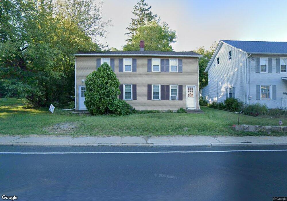
1801 State Route 57 Hackettstown, NJ 07840
Estimated Value: $224,759 - $350,000
--
Bed
--
Bath
1,369
Sq Ft
$222/Sq Ft
Est. Value
About This Home
This home is located at 1801 State Route 57, Hackettstown, NJ 07840 and is currently estimated at $304,190, approximately $222 per square foot. 1801 State Route 57 is a home located in Warren County with nearby schools including Mansfield Twp Elementary School, Warren Hills Regional Middle School, and Warren Hills Reg High School.
Ownership History
Date
Name
Owned For
Owner Type
Purchase Details
Closed on
Nov 1, 2001
Sold by
Stark Michael E and Stark Kelly M
Bought by
Sawyer Carol
Current Estimated Value
Home Financials for this Owner
Home Financials are based on the most recent Mortgage that was taken out on this home.
Original Mortgage
$95,000
Outstanding Balance
$35,843
Interest Rate
6.25%
Mortgage Type
Purchase Money Mortgage
Estimated Equity
$268,347
Purchase Details
Closed on
Aug 29, 1994
Sold by
Foster Joseph J and Foster Jessie H
Bought by
Stark Michael E and Stark Kelly M
Create a Home Valuation Report for This Property
The Home Valuation Report is an in-depth analysis detailing your home's value as well as a comparison with similar homes in the area
Home Values in the Area
Average Home Value in this Area
Purchase History
| Date | Buyer | Sale Price | Title Company |
|---|---|---|---|
| Sawyer Carol | $134,000 | -- | |
| Stark Michael E | $75,000 | -- |
Source: Public Records
Mortgage History
| Date | Status | Borrower | Loan Amount |
|---|---|---|---|
| Open | Sawyer Carol | $95,000 |
Source: Public Records
Tax History Compared to Growth
Tax History
| Year | Tax Paid | Tax Assessment Tax Assessment Total Assessment is a certain percentage of the fair market value that is determined by local assessors to be the total taxable value of land and additions on the property. | Land | Improvement |
|---|---|---|---|---|
| 2025 | $3,795 | $107,300 | $42,300 | $65,000 |
| 2024 | $3,811 | $107,300 | $42,300 | $65,000 |
| 2023 | $3,744 | $107,300 | $42,300 | $65,000 |
| 2022 | $3,744 | $107,300 | $42,300 | $65,000 |
| 2021 | $3,769 | $107,300 | $42,300 | $65,000 |
| 2020 | $3,732 | $107,300 | $42,300 | $65,000 |
| 2019 | $3,611 | $107,300 | $42,300 | $65,000 |
| 2018 | $3,534 | $107,300 | $42,300 | $65,000 |
| 2017 | $3,534 | $107,300 | $42,300 | $65,000 |
| 2016 | $3,454 | $107,300 | $42,300 | $65,000 |
| 2015 | $3,381 | $107,300 | $42,300 | $65,000 |
| 2014 | $3,274 | $107,300 | $42,300 | $65,000 |
Source: Public Records
Map
Nearby Homes
- 9 Brantwood Terrace
- 48 Brantwood Terrace
- 17 Meadow Ln
- 21 Highland Ave
- 130 Kings Hwy
- 13 Highland Ave
- 1 Heather Ct
- 53 Winchester Ave
- 102 Sunnyview Ave E
- 0 Sliker Ln
- 225 Riva Dr
- 250 Riva Dr
- 135 Cynthia Dr
- 209 Riva Dr Unit 3A24H
- 3 Cobblestone Ln
- 29 Trafalgar Ct
- 150 College View Dr
- 112 Pleasant Grove Rd
- 133 Deerfield Dr
- 1404 New Jersey 57
- 1805 State Route 57
- 1804 State Route 57
- 1800 State Route 57
- 1806 State Route 57
- 1798 State Route 57
- 1808 State Route 57
- 1795 State Route 57
- 1792 State Route 57 Unit 94
- 1792 New Jersey 57 Unit 2
- 1792-94 New Jersey 57 Unit 2
- 1814 State Route 57
- 1786 State Route 57
- 1817 State Route 57
- 139 Kings Hwy
- 154 Kings Hwy
- 1826 1818-1830 Rt 57-3 Houses
- 1818 Rt 57 - 3 Houses
- 1818 New Jersey 57
- 17 Ryan Way
- 21 Ryan Way