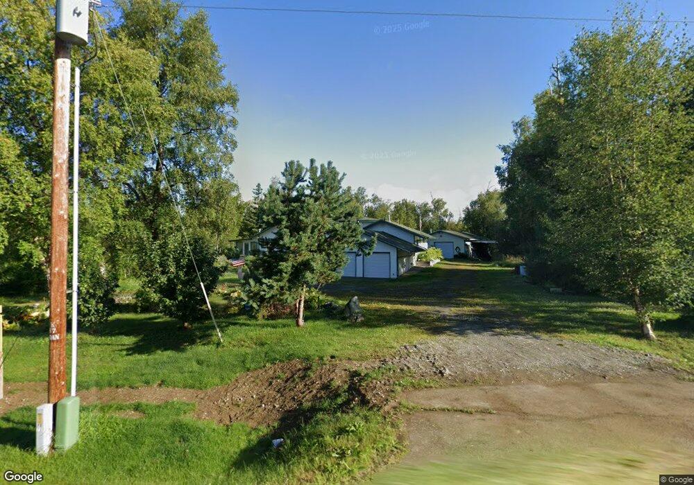
1801 W Harvest Loop Wasilla, AK 99654
Estimated Value: $271,000 - $503,000
Studio
--
Bath
1,618
Sq Ft
$265/Sq Ft
Est. Value
About This Home
This home is located at 1801 W Harvest Loop, Wasilla, AK 99654 and is currently estimated at $428,841, approximately $265 per square foot. 1801 W Harvest Loop is a home located in Matanuska-Susitna Borough with nearby schools including Snowshoe Elementary School, Wasilla Middle School, and Wasilla High School.
Ownership History
Date
Name
Owned For
Owner Type
Purchase Details
Closed on
May 1, 2009
Sold by
Weis John W and Long Angella T
Bought by
Weis John and Long Angella T
Current Estimated Value
Home Financials for this Owner
Home Financials are based on the most recent Mortgage that was taken out on this home.
Original Mortgage
$45,000
Interest Rate
4.8%
Mortgage Type
Credit Line Revolving
Create a Home Valuation Report for This Property
The Home Valuation Report is an in-depth analysis detailing your home's value as well as a comparison with similar homes in the area
Home Values in the Area
Average Home Value in this Area
Purchase History
| Date | Buyer | Sale Price | Title Company |
|---|---|---|---|
| Weis John | -- | None Available |
Source: Public Records
Mortgage History
| Date | Status | Borrower | Loan Amount |
|---|---|---|---|
| Closed | Weis John | $45,000 |
Source: Public Records
Tax History
| Year | Tax Paid | Tax Assessment Tax Assessment Total Assessment is a certain percentage of the fair market value that is determined by local assessors to be the total taxable value of land and additions on the property. | Land | Improvement |
|---|---|---|---|---|
| 2025 | $1,268 | $411,100 | $47,000 | $364,100 |
| 2024 | $1,268 | $390,400 | $47,000 | $343,400 |
| 2023 | $1,147 | $375,400 | $47,000 | $328,400 |
| 2022 | $1,351 | $342,500 | $47,000 | $295,500 |
| 2021 | $3,666 | $303,200 | $47,000 | $256,200 |
| 2020 | $3,622 | $290,400 | $47,000 | $243,400 |
| 2019 | $3,490 | $278,400 | $47,000 | $231,400 |
| 2018 | $3,379 | $262,200 | $47,000 | $215,200 |
| 2017 | $3,335 | $267,200 | $47,000 | $220,200 |
| 2016 | $3,242 | $267,200 | $47,000 | $220,200 |
| 2015 | $2,911 | $257,600 | $39,000 | $218,600 |
| 2014 | $2,911 | $252,500 | $39,000 | $213,500 |
Source: Public Records
Map
Nearby Homes
- 1540 W Pipestone Dr
- 1690 W Valley Ridge Dr
- L1 B1 S Corwin Ln
- L2 B1 S Corwin Ln
- 1701 S Corwin Ln
- 1701 W Valley Ridge Dr
- 1990 W Cameron Dr
- 1890 S Endeavor St
- 1942 W Cashatt Ave
- 2030 W Cameron Dr
- 2271 W Cameron Dr
- 1745 W Lake Lucille Dr
- 2996 W Stonebridge Dr
- 3161 W Sakai St
- 2845 S Clapp St
- LA23 S Clapp St
- LA22 S Clapp St
- 205 W Pennington Place
- 230 W Fallen Leaf Cir
- 1401 W Nicola Ave
- 1841 W Harvest Loop
- 1791 W Harvest Loop
- 1841 Harvest Loop
- 1790 W Harvest Loop
- 1800 W Harvest Loop
- 2125 S Pylon Cir
- 2100 W Pipestone Dr
- 1780 W Harvest Loop
- 1941 W Harvest Loop
- 1880 W Harvest Loop
- 2151 S Pylon Cir
- 2101 S Pylon Cir
- 1900 W Harvest Loop
- 1770 W Harvest Loop
- 1940 W Harvest Loop
- 2100 S Pylon Cir
- 1750 W Kanabec Dr
- 1900 Lakewood Dr
- B008 Lakewood Dr
- 1700 W Harvest Loop
Your Personal Tour Guide
Ask me questions while you tour the home.