18010 Map Rock Rd Caldwell, ID 83607
Estimated Value: $802,000 - $925,000
5
Beds
4
Baths
1,680
Sq Ft
$503/Sq Ft
Est. Value
About This Home
This home is located at 18010 Map Rock Rd, Caldwell, ID 83607 and is currently estimated at $845,840, approximately $503 per square foot. 18010 Map Rock Rd is a home located in Canyon County with nearby schools including West Canyon Elementary School, Vallivue Middle School, and Vallivue High School.
Ownership History
Date
Name
Owned For
Owner Type
Purchase Details
Closed on
Oct 18, 2021
Sold by
Swall Mark A and Swall Lori L
Bought by
Swall Mark A and Swall Lori L
Current Estimated Value
Home Financials for this Owner
Home Financials are based on the most recent Mortgage that was taken out on this home.
Original Mortgage
$498,000
Outstanding Balance
$454,130
Interest Rate
2.8%
Mortgage Type
New Conventional
Estimated Equity
$391,710
Purchase Details
Closed on
Sep 30, 2019
Sold by
Peterson Jack G and Peterson Faith Y
Bought by
Swall Mark A and Swall Lori L
Create a Home Valuation Report for This Property
The Home Valuation Report is an in-depth analysis detailing your home's value as well as a comparison with similar homes in the area
Home Values in the Area
Average Home Value in this Area
Purchase History
| Date | Buyer | Sale Price | Title Company |
|---|---|---|---|
| Swall Mark A | -- | Titleone Boise | |
| Swall Mark A | -- | Pioneer Ttl Canyon Caldwell |
Source: Public Records
Mortgage History
| Date | Status | Borrower | Loan Amount |
|---|---|---|---|
| Open | Swall Mark A | $498,000 |
Source: Public Records
Tax History
| Year | Tax Paid | Tax Assessment Tax Assessment Total Assessment is a certain percentage of the fair market value that is determined by local assessors to be the total taxable value of land and additions on the property. | Land | Improvement |
|---|---|---|---|---|
| 2025 | $3,454 | $734,660 | $243,260 | $491,400 |
| 2024 | $3,454 | $699,910 | $244,010 | $455,900 |
| 2023 | $3,736 | $717,910 | $244,810 | $473,100 |
| 2022 | $4,053 | $816,410 | $271,110 | $545,300 |
| 2021 | $4,781 | $595,270 | $123,970 | $471,300 |
| 2020 | $4,937 | $502,860 | $86,460 | $416,400 |
| 2019 | $3,994 | $462,060 | $70,060 | $392,000 |
| 2018 | $3,533 | $0 | $0 | $0 |
| 2017 | $3,047 | $0 | $0 | $0 |
| 2016 | $2,856 | $0 | $0 | $0 |
| 2015 | $2,426 | $0 | $0 | $0 |
| 2014 | $2,279 | $269,080 | $38,580 | $230,500 |
Source: Public Records
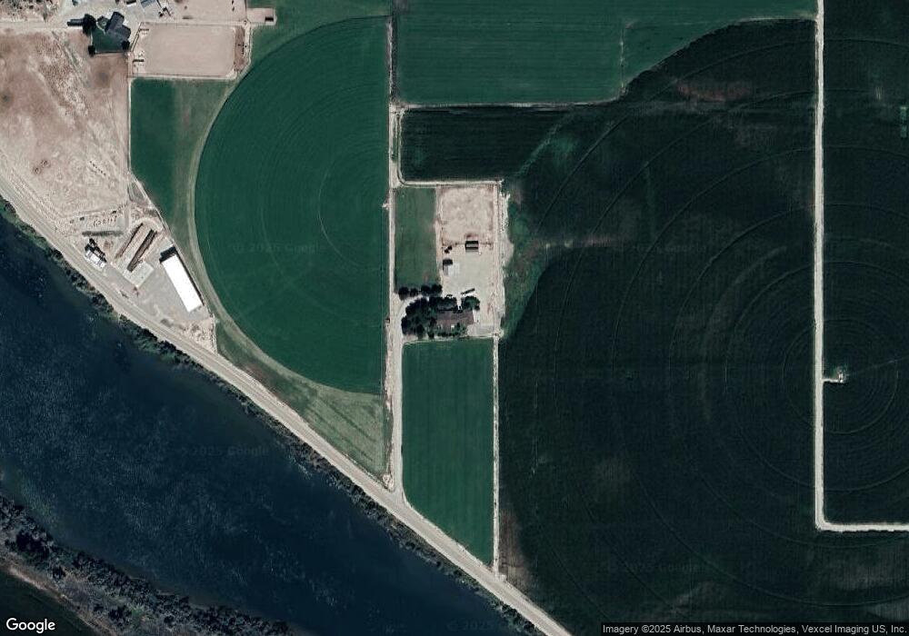
Map
Nearby Homes
- TBD Blue Fox Ln
- 8843 Idaho 78
- TBD Island View Dr - Lot 1
- TBD Island View Dr - Lot 2
- 547 Bass Run Ln
- 0 Sage View Ln Parcel 2
- 0 Sage View Ln Parcel 4
- 9446 Wright Rd
- 9506 Wright Rd
- 9494 Sleepy Hollow Dr
- 16758 Deer Flat Rd
- 8065 Moonshine Ln
- 101 Twilight Trail
- 10142 Airpark Loop Rd
- TBD Mountain Hawk Rd
- 000 Farner Rd
- 9002 Deer Flat
- TBD Oak River Ln
- 1406 Oak River Ln
- 9770 Farner Rd
- 18622 Map Rock Rd
- 6916 Map Rock Rd
- 6994 Map Rock Rd
- 18002 Map Rock Rd
- 9000 Hwy 78
- tbd Hwy 78
- TBD Lot 1 Geiger Subdivision
- 8680 State Highway 78
- 9048 State Highway 78
- 9055 State Highway 78
- 9044 State Highway 78
- 9104 State Highway 78
- 000 Hwy 78
- 7391 Meininger Rd
- 18679 Blue Fox Ln
- 7377 Meininger Rd
- 7359 Meininger Rd
- 7421 Opaline Rd
- 7339 Meininger Rd
Your Personal Tour Guide
Ask me questions while you tour the home.