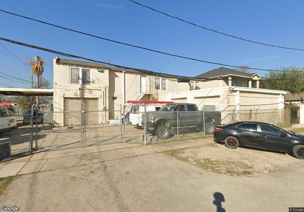
1802 Airline Dr Houston, TX 77009
Greater Heights NeighborhoodEstimated Value: $755,000 - $1,401,000
--
Bed
--
Bath
2,408
Sq Ft
$407/Sq Ft
Est. Value
About This Home
This home is located at 1802 Airline Dr, Houston, TX 77009 and is currently estimated at $980,202, approximately $407 per square foot. 1802 Airline Dr is a home located in Harris County with nearby schools including Browning Elementary School, Hogg Middle, and Heights High School.
Ownership History
Date
Name
Owned For
Owner Type
Purchase Details
Closed on
Oct 25, 2018
Sold by
Colony Ridge Development Llc
Bought by
Ortiz Xiomara and Ordonez Wuilliams
Current Estimated Value
Home Financials for this Owner
Home Financials are based on the most recent Mortgage that was taken out on this home.
Original Mortgage
$42,540
Outstanding Balance
$37,378
Interest Rate
4.86%
Estimated Equity
$942,824
Purchase Details
Closed on
Mar 17, 2000
Sold by
Dawson Barbara A
Bought by
Shipley Properties Inc
Home Financials for this Owner
Home Financials are based on the most recent Mortgage that was taken out on this home.
Original Mortgage
$70,000
Interest Rate
8.23%
Mortgage Type
Seller Take Back
Purchase Details
Closed on
Oct 12, 1999
Sold by
Dawson Paul H and Dawson Barbara A
Bought by
Dawson Barbara A
Purchase Details
Closed on
Mar 25, 1999
Sold by
Dawson Paul H
Bought by
Dawson Paul H
Create a Home Valuation Report for This Property
The Home Valuation Report is an in-depth analysis detailing your home's value as well as a comparison with similar homes in the area
Home Values in the Area
Average Home Value in this Area
Purchase History
| Date | Buyer | Sale Price | Title Company |
|---|---|---|---|
| Ortiz Xiomara | -- | -- | |
| Shipley Properties Inc | -- | Charter Title Company | |
| Dawson Barbara A | -- | -- | |
| Dawson Paul H | -- | -- |
Source: Public Records
Mortgage History
| Date | Status | Borrower | Loan Amount |
|---|---|---|---|
| Open | Ortiz Xiomara | $42,540 | |
| Closed | Ortiz Xiomara | -- | |
| Previous Owner | Shipley Properties Inc | $70,000 |
Source: Public Records
Tax History Compared to Growth
Tax History
| Year | Tax Paid | Tax Assessment Tax Assessment Total Assessment is a certain percentage of the fair market value that is determined by local assessors to be the total taxable value of land and additions on the property. | Land | Improvement |
|---|---|---|---|---|
| 2025 | $19,240 | $884,764 | $784,000 | $100,764 |
| 2024 | $19,240 | $877,609 | $784,000 | $93,609 |
| 2023 | $19,240 | $880,367 | $784,000 | $96,367 |
| 2022 | $13,632 | $606,325 | $537,600 | $68,725 |
| 2021 | $14,085 | $604,320 | $537,600 | $66,720 |
| 2020 | $14,446 | $596,564 | $537,600 | $58,964 |
| 2019 | $13,145 | $519,460 | $470,400 | $49,060 |
| 2018 | $11,161 | $450,429 | $392,000 | $58,429 |
| 2017 | $9,609 | $406,150 | $336,000 | $70,150 |
| 2016 | $9,973 | $408,885 | $336,000 | $72,885 |
| 2015 | $7,061 | $324,767 | $257,600 | $67,167 |
| 2014 | $7,061 | $264,377 | $193,200 | $71,177 |
Source: Public Records
Map
Nearby Homes
- 905 Kern St
- 1737 Airline Dr
- 1340 Idylwild St
- 1719 Redwing Pines Dr
- 738 Redwing Place Dr
- 1707 Redwing Cove Dr
- 1005 Kern St Unit C
- 1005 Kern St Unit B
- 1805 Emir St Unit G
- 1805 Emir St Unit D
- 1805 Emir St Unit L
- 1805 Emir St Unit E
- 1723 Redwing Ridge Dr
- 1718 Redwing Ridge Dr
- 931 Louise St
- 1611 Airline Dr
- 1213 Northwood St
- 1102 Winston St
- 1124 Dunbar St
- 1106 Robbie St
- 1336 Idylwild St
- 1724 Airline Dr
- 1343 Idylwild St
- 1332 Idylwild St
- 1339 Idylwild St
- 1827 Airline Dr
- 811 Kern St
- 1335 Idylwild St
- 1328 Idylwild St
- 818 Redwing Place Dr
- 814 Redwing Place Dr
- 810 Redwing Place Dr
- 806 Redwing Place Dr
- 1717 Airline Dr Unit B
- 1717 Airline Dr Unit A
- 802 Redwing Place Dr
- 1327 Idylwild St
- 1327 Idylwild St Unit B
- 1327 Idylwild St Unit A
- 815 Kern St