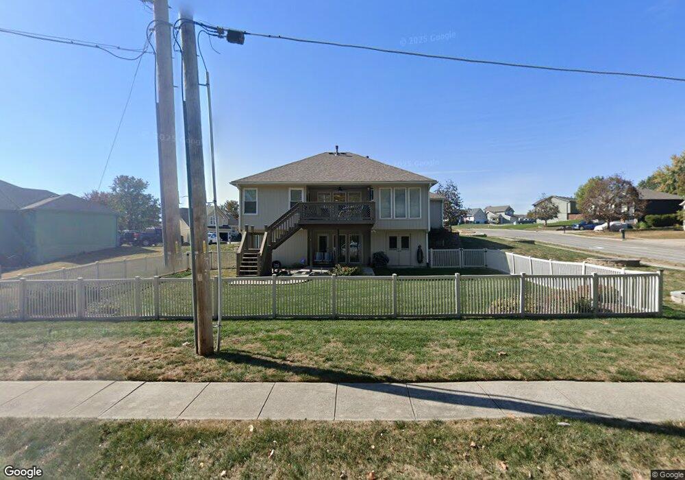
1802 Holt Cir Liberty, MO 64068
Estimated Value: $335,399 - $396,000
3
Beds
2
Baths
1,259
Sq Ft
$290/Sq Ft
Est. Value
About This Home
This home is located at 1802 Holt Cir, Liberty, MO 64068 and is currently estimated at $364,850, approximately $289 per square foot. 1802 Holt Cir is a home located in Clay County with nearby schools including Manor Hill Elementary School, Liberty Middle School, and Liberty High School.
Ownership History
Date
Name
Owned For
Owner Type
Purchase Details
Closed on
Oct 27, 2005
Sold by
Brinegar Paul E and Brinegar Diana K
Bought by
Ingrassia Nancy L
Current Estimated Value
Home Financials for this Owner
Home Financials are based on the most recent Mortgage that was taken out on this home.
Original Mortgage
$87,200
Outstanding Balance
$46,869
Interest Rate
5.73%
Mortgage Type
Fannie Mae Freddie Mac
Estimated Equity
$317,981
Purchase Details
Closed on
Jan 14, 2002
Sold by
Liberty Homes Inc
Bought by
Brinegar Paul E and Brinegar Diana K
Home Financials for this Owner
Home Financials are based on the most recent Mortgage that was taken out on this home.
Original Mortgage
$165,300
Interest Rate
7.03%
Create a Home Valuation Report for This Property
The Home Valuation Report is an in-depth analysis detailing your home's value as well as a comparison with similar homes in the area
Home Values in the Area
Average Home Value in this Area
Purchase History
| Date | Buyer | Sale Price | Title Company |
|---|---|---|---|
| Ingrassia Nancy L | -- | Thomson Title Corporation | |
| Brinegar Paul E | -- | Thomson Title Corp |
Source: Public Records
Mortgage History
| Date | Status | Borrower | Loan Amount |
|---|---|---|---|
| Open | Ingrassia Nancy L | $87,200 | |
| Previous Owner | Brinegar Paul E | $165,300 |
Source: Public Records
Tax History Compared to Growth
Tax History
| Year | Tax Paid | Tax Assessment Tax Assessment Total Assessment is a certain percentage of the fair market value that is determined by local assessors to be the total taxable value of land and additions on the property. | Land | Improvement |
|---|---|---|---|---|
| 2025 | $3,415 | $51,020 | -- | -- |
| 2024 | $3,415 | $44,400 | -- | -- |
| 2023 | $3,473 | $44,400 | $0 | $0 |
| 2022 | $3,184 | $40,190 | $0 | $0 |
| 2021 | $3,159 | $40,185 | $7,220 | $32,965 |
| 2020 | $3,186 | $38,060 | $0 | $0 |
| 2019 | $3,185 | $38,057 | $7,220 | $30,837 |
| 2018 | $2,872 | $33,690 | $0 | $0 |
| 2017 | $2,745 | $33,690 | $5,320 | $28,370 |
| 2016 | $2,745 | $32,510 | $5,320 | $27,190 |
| 2015 | $2,746 | $32,510 | $5,320 | $27,190 |
| 2014 | $2,651 | $31,140 | $5,320 | $25,820 |
Source: Public Records
Map
Nearby Homes
- 507 Lauren St
- 465 Lilly Ln
- 457 Lilly Ln
- 429 Lilly Ln
- 753 Todd Ct
- 1904 Shirley Ct
- 1505 Glen Brook Ln
- 507 Vivian St
- 1588 Columbine Ct
- 1955 Birmingham Rd
- 977 Wellington Way
- 1608 Ray St
- 1601 Johnston St
- 1030 Maple Woods Dr
- Redbud Plan at Homestead of Liberty - Homestead
- Spruce Plan at Homestead of Liberty - Homestead
- Cypress Plan at Homestead of Liberty - Homestead
- Monroe Plan at Homestead of Liberty - Homestead
- McKinley Plan at Homestead of Liberty - Homestead
- Ashton Plan at Homestead of Liberty - Homestead