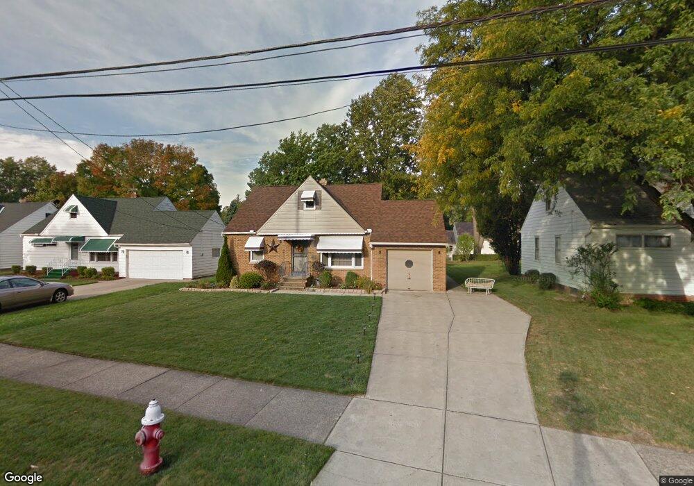
1802 Karen Dr Euclid, OH 44117
Estimated Value: $146,000 - $170,000
2
Beds
2
Baths
812
Sq Ft
$192/Sq Ft
Est. Value
About This Home
This home is located at 1802 Karen Dr, Euclid, OH 44117 and is currently estimated at $155,586, approximately $191 per square foot. 1802 Karen Dr is a home located in Cuyahoga County with nearby schools including Bluestone Elementary School, Euclid Middle School, and Euclid High School.
Ownership History
Date
Name
Owned For
Owner Type
Purchase Details
Closed on
Dec 10, 2008
Sold by
Weems Byron D and Weems Bridget B
Bought by
French Nicole M
Current Estimated Value
Home Financials for this Owner
Home Financials are based on the most recent Mortgage that was taken out on this home.
Original Mortgage
$108,600
Outstanding Balance
$73,008
Interest Rate
6.49%
Mortgage Type
VA
Estimated Equity
$82,578
Purchase Details
Closed on
Apr 16, 2008
Sold by
Keybank Na
Bought by
Weems Byron D
Purchase Details
Closed on
Oct 11, 2007
Sold by
Demojzes David D
Bought by
Keybank Na
Purchase Details
Closed on
Aug 5, 2002
Sold by
Estate Of Victor R Demojzes
Bought by
Demojzes David D
Purchase Details
Closed on
Apr 10, 1981
Sold by
Demojzes Victor R and Demojzes Nora L
Bought by
Demojzes Victor R
Purchase Details
Closed on
Jan 1, 1975
Bought by
Demojzes Victor R and Demojzes Nora L
Create a Home Valuation Report for This Property
The Home Valuation Report is an in-depth analysis detailing your home's value as well as a comparison with similar homes in the area
Home Values in the Area
Average Home Value in this Area
Purchase History
| Date | Buyer | Sale Price | Title Company |
|---|---|---|---|
| French Nicole M | $117,000 | Chicago Title Insurance Co | |
| Weems Byron D | $31,000 | None Available | |
| Keybank Na | $86,499 | Attorney | |
| Demojzes David D | -- | -- | |
| Demojzes Victor R | -- | -- | |
| Demojzes Victor R | -- | -- |
Source: Public Records
Mortgage History
| Date | Status | Borrower | Loan Amount |
|---|---|---|---|
| Open | French Nicole M | $108,600 |
Source: Public Records
Tax History Compared to Growth
Tax History
| Year | Tax Paid | Tax Assessment Tax Assessment Total Assessment is a certain percentage of the fair market value that is determined by local assessors to be the total taxable value of land and additions on the property. | Land | Improvement |
|---|---|---|---|---|
| 2024 | $3,283 | $47,670 | $9,170 | $38,500 |
| 2023 | $3,163 | $36,720 | $8,050 | $28,670 |
| 2022 | $3,091 | $36,720 | $8,050 | $28,670 |
| 2021 | $3,445 | $36,720 | $8,050 | $28,670 |
| 2020 | $3,264 | $31,640 | $6,930 | $24,710 |
| 2019 | $2,936 | $90,400 | $19,800 | $70,600 |
| 2018 | $2,932 | $31,640 | $6,930 | $24,710 |
| 2017 | $3,144 | $28,040 | $5,010 | $23,030 |
| 2016 | $3,151 | $28,040 | $5,010 | $23,030 |
| 2015 | $2,867 | $28,040 | $5,010 | $23,030 |
| 2014 | $2,867 | $28,040 | $5,010 | $23,030 |
Source: Public Records
Map
Nearby Homes
- 19871 Upper Valley Dr
- 1721 Grand Blvd
- 2150 Glenridge Rd
- 1860 Glenridge Rd
- 19201 Shawnee Rd
- 24 Washington Square
- 19201 Genesee Rd
- 209 Greenbriar Ct
- 1477 E 195th St
- 237 Greenbriar Ct Unit F237
- 1524 E 204th St
- 1777 Catalpa Rd
- 2441 Malden Rd
- 2010 E 221st St
- 1707 Catalpa Rd
- 22601 Harms Rd
- 1563 Clermont Rd
- 2075 E 226th St
- 1517 Larchmont Rd
- 22261 Chardon Rd
- 1800 Karen Dr
- 1804 Karen Dr
- 1803 Pinehurst Dr
- 1798 Karen Dr
- 1801 Pinehurst Dr
- 1806 Karen Dr
- 1805 Pinehurst Dr
- 1799 Pinehurst Dr
- 1803 Karen Dr
- 1805 Karen Dr
- 1796 Karen Dr
- 1807 Pinehurst Dr
- 1801 Karen Dr
- 1807 Karen Dr
- 1797 Pinehurst Dr
- 1799 Karen Dr
- 1809 Karen Dr
- 1802 Cedar Ct
- 1797 Karen Dr
- 20240 Kathy Dr