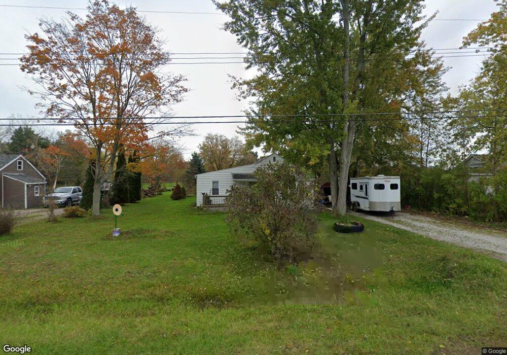
1802 Leland Rd Unit Bldg-Unit Kimball, MI 48074
Estimated Value: $40,160 - $123,000
2
Beds
1
Bath
1,026
Sq Ft
$93/Sq Ft
Est. Value
About This Home
This home is located at 1802 Leland Rd Unit Bldg-Unit, Kimball, MI 48074 and is currently estimated at $95,790, approximately $93 per square foot. 1802 Leland Rd Unit Bldg-Unit is a home located in St. Clair County with nearby schools including Kimball Elementary School, Central Middle School, and Port Huron High School.
Ownership History
Date
Name
Owned For
Owner Type
Purchase Details
Closed on
Sep 4, 2025
Sold by
Fusee Caitlin and Wilson Caitlin
Bought by
Jsh Revocable Living Trust
Current Estimated Value
Purchase Details
Closed on
Jan 19, 2021
Sold by
Fusee Michael W and Estate Of Sanford William Fuse
Bought by
Wilson Caitlin
Purchase Details
Closed on
Jan 31, 2018
Sold by
Kessler Clair F and Kessler Irene P
Bought by
Fusee Sanford W
Purchase Details
Closed on
Aug 10, 2012
Sold by
Britz Betty L and Britz Betty Lou
Bought by
Britz Betty L and Britz Betty Lou
Create a Home Valuation Report for This Property
The Home Valuation Report is an in-depth analysis detailing your home's value as well as a comparison with similar homes in the area
Home Values in the Area
Average Home Value in this Area
Purchase History
| Date | Buyer | Sale Price | Title Company |
|---|---|---|---|
| Jsh Revocable Living Trust | $40,000 | Apollo Title | |
| Jsh Revocable Living Trust | $40,000 | Apollo Title | |
| Wilson Caitlin | -- | None Available | |
| Fusee Sanford W | $50,000 | Huron Title | |
| Britz Betty L | -- | None Available |
Source: Public Records
Tax History Compared to Growth
Tax History
| Year | Tax Paid | Tax Assessment Tax Assessment Total Assessment is a certain percentage of the fair market value that is determined by local assessors to be the total taxable value of land and additions on the property. | Land | Improvement |
|---|---|---|---|---|
| 2025 | $847 | $47,200 | $0 | $0 |
| 2024 | $437 | $44,100 | $0 | $0 |
| 2023 | $901 | $41,600 | $0 | $0 |
| 2022 | $1,203 | $33,600 | $0 | $0 |
| 2021 | $1,149 | $31,600 | $0 | $0 |
| 2020 | $1,149 | $29,700 | $29,700 | $0 |
| 2019 | $1,129 | $24,600 | $0 | $0 |
| 2018 | $1,012 | $22,300 | $0 | $0 |
| 2017 | $994 | $27,500 | $0 | $0 |
| 2016 | $770 | $27,500 | $0 | $0 |
| 2015 | -- | $26,800 | $26,800 | $0 |
| 2014 | -- | $23,500 | $23,500 | $0 |
| 2013 | -- | $28,500 | $0 | $0 |
Source: Public Records
Map
Nearby Homes
- 4632 Cloverdale Ln
- V/L Allen
- 1701 Allen Rd
- 1604 Allen Rd
- 1979 Allen Rd
- 4595 Griswold Rd
- 1405 Range Rd
- 00 Range Rd
- 0000 Range Rd
- 00 Howard Rd
- 0 Allen Rd Unit 20250008597
- 0 Allen Rd Unit 20250008612
- 0 Wall Rd Unit 50185999
- 1091 Allen Rd
- 5510 Griswold Rd
- 0 Ravenswood Rd Unit 20251017048
- 0000 Ravenswood Rd
- 0 Lapeer Rd Unit 50137357
- 174 Meadow Ln
- 104 Oldbrook Ln